
National Park · Australia
Kroombit Tops National Park
Kroombit Tops National Park is a national park in Australia, covering 106,791 acres (43,217 ha), established in 1974.
National Park · Australia
No freely licensed photograph of this park is in our library yet — rather than borrow a picture of somewhere else, this profile leads with its verified facts.
Park facts
| Park type | National Park |
|---|---|
| Location | Australia |
| Area | 106,791 acres (43,217 ha) |
| Established | 1974 |
| Coordinates | 24.4008° S, 150.9583° E |
Every fact above is taken from the sources listed below; anything no source states is left blank rather than guessed.
About Kroombit Tops National Park
Kroombit Tops is a national park in Central Queensland, Australia. It is between Monto and Calliope. It is two parts. The largest part is within the localities of Tablelands, Valentine Plains, Cania and Boyne Valley, while the smaller part is in the locality of Mount Alma. It is 399 km northwest of Brisbane. Cania Gorge National Park is located approximately 25 km to the south. In February 1945, an American Liberator Bomber, "Beautiful Betsy", crashed into what is now Kroombit Tops National Park. The wreckage was discovered on 2 August 1994.
Description from the park's Wikipedia article (CC BY-SA), linked in the sources below.
Planning your visit
What to do
Airports near this park
The airports a visitor would actually fly into, nearest first — each link opens its profile on our sister site AirportProfiles.
- Thangool Airport (THG) · Biloela, Australia · 24.8 miles away
- Gladstone Airport (GLT) · Gladstone, Australia · 40.4 miles away
- Rockhampton Airport (ROK) · Rockhampton, Australia · 76.8 miles away
Parks nearby
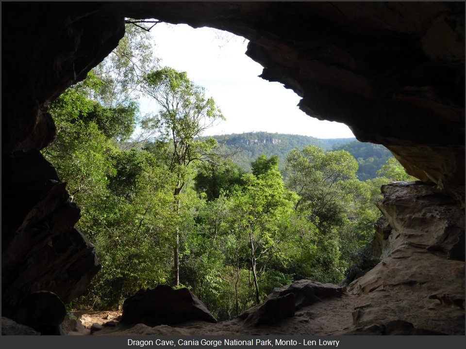
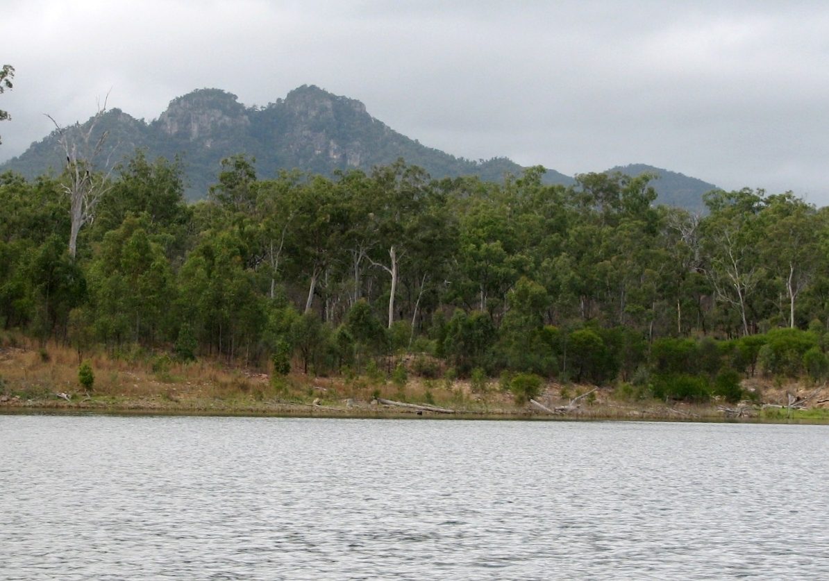
More parks in Australia
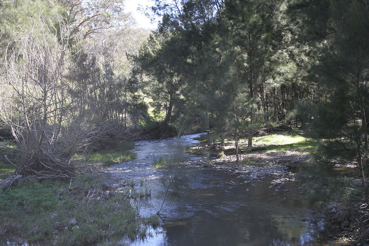
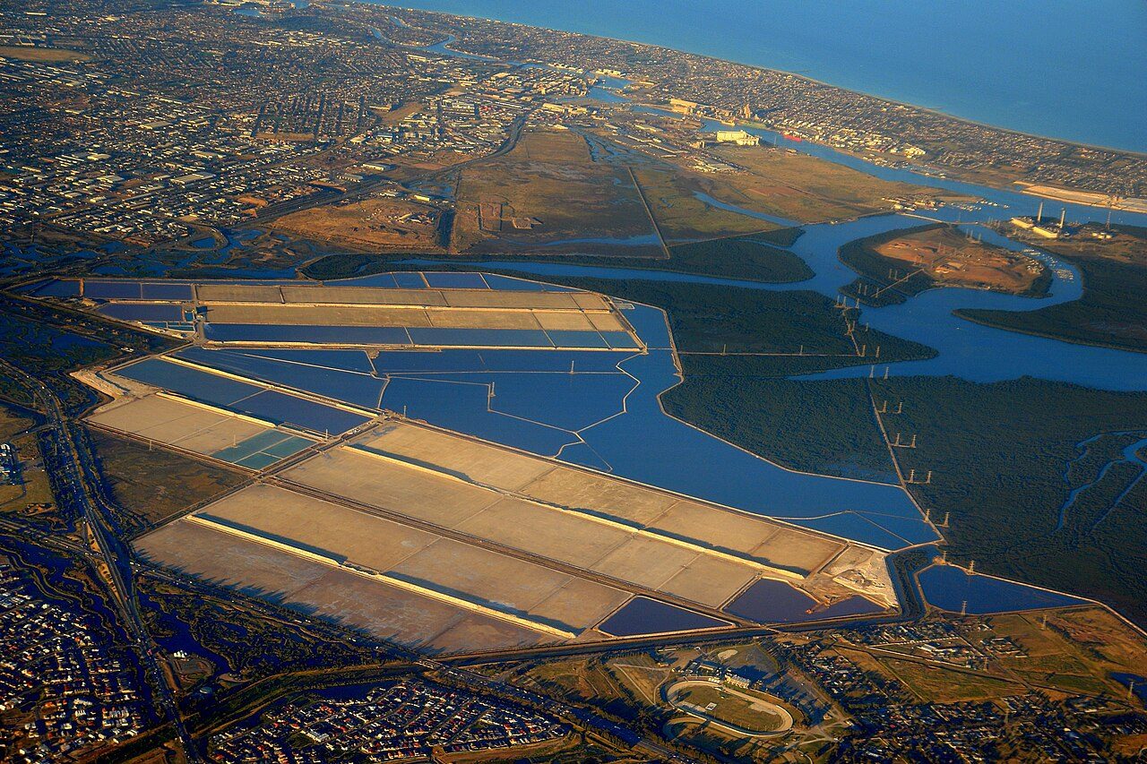
Frequently asked questions
Where is Kroombit Tops National Park?
Kroombit Tops National Park is in Australia (24.4008° S, 150.9583° E).
When was Kroombit Tops National Park established?
Kroombit Tops National Park was established in 1974, per the source listed at the foot of this page.
How big is Kroombit Tops National Park?
Kroombit Tops National Park covers 106,791 acres (43,217 ha).
Sources
- https://www.wikidata.org/wiki/Q1359321 — Wikidata (CC0) — name, country, coordinates, area, established year, highest point where stated.
- https://en.wikipedia.org/wiki/Kroombit_Tops_National_Park — Wikipedia article — description (CC BY-SA).