
State Park · Pennsylvania, United States
Laurel Summit State Park
Laurel Summit State Park is a state park in Pennsylvania, United States, covering 6.0 acres (2.4 ha), established in 1964.
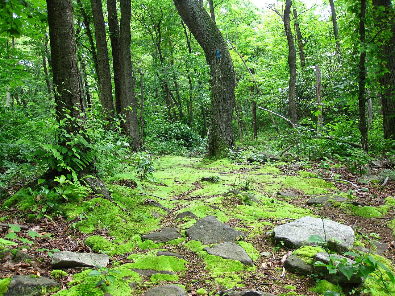
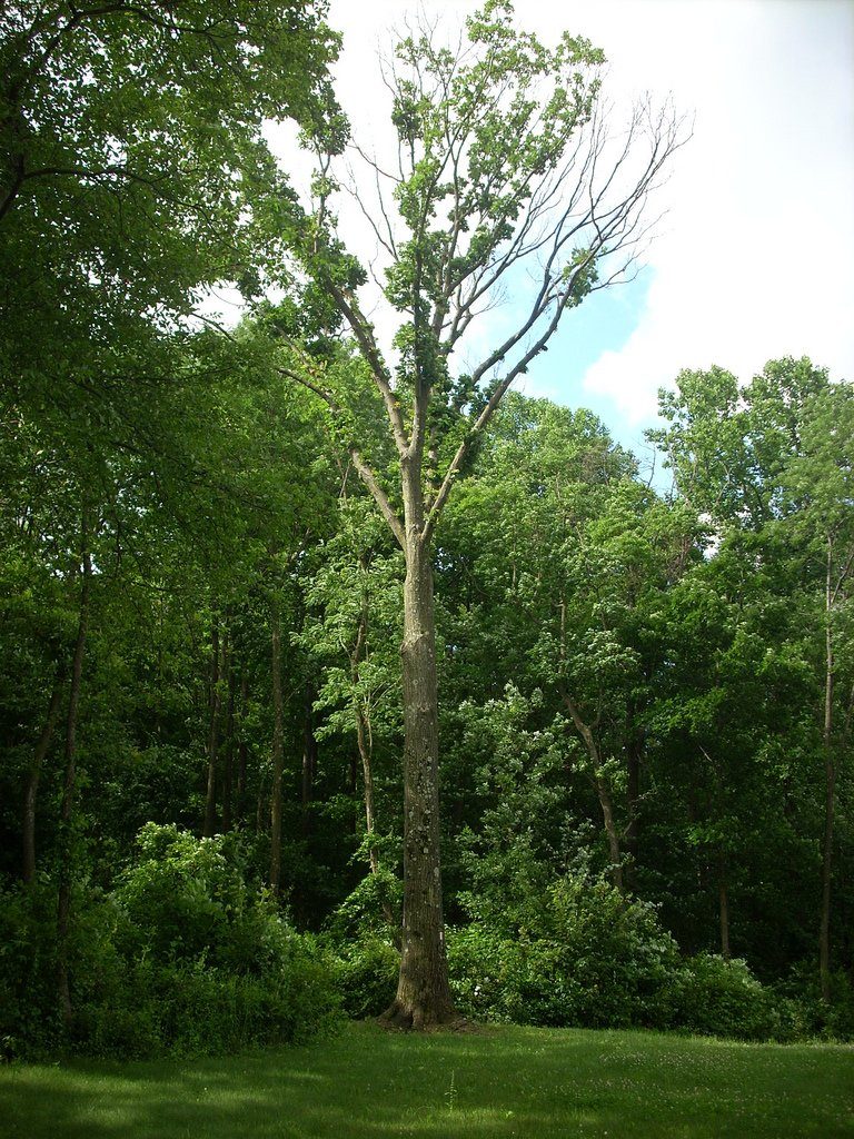
Photo: David Fulmer via Wikimedia Commons, CC BY 2.0. Cropped and resized for display.
Park facts
| Park type | State Park |
|---|---|
| Location | Westmoreland County, Pennsylvania, United States |
| Area | 6.0 acres (2.4 ha) |
| Established | 1964 |
| Coordinates | 40.1178° N, 79.1750° W |
| Managed by | Pennsylvania state park system |
Every fact above is taken from the sources listed below; anything no source states is left blank rather than guessed.
About Laurel Summit State Park
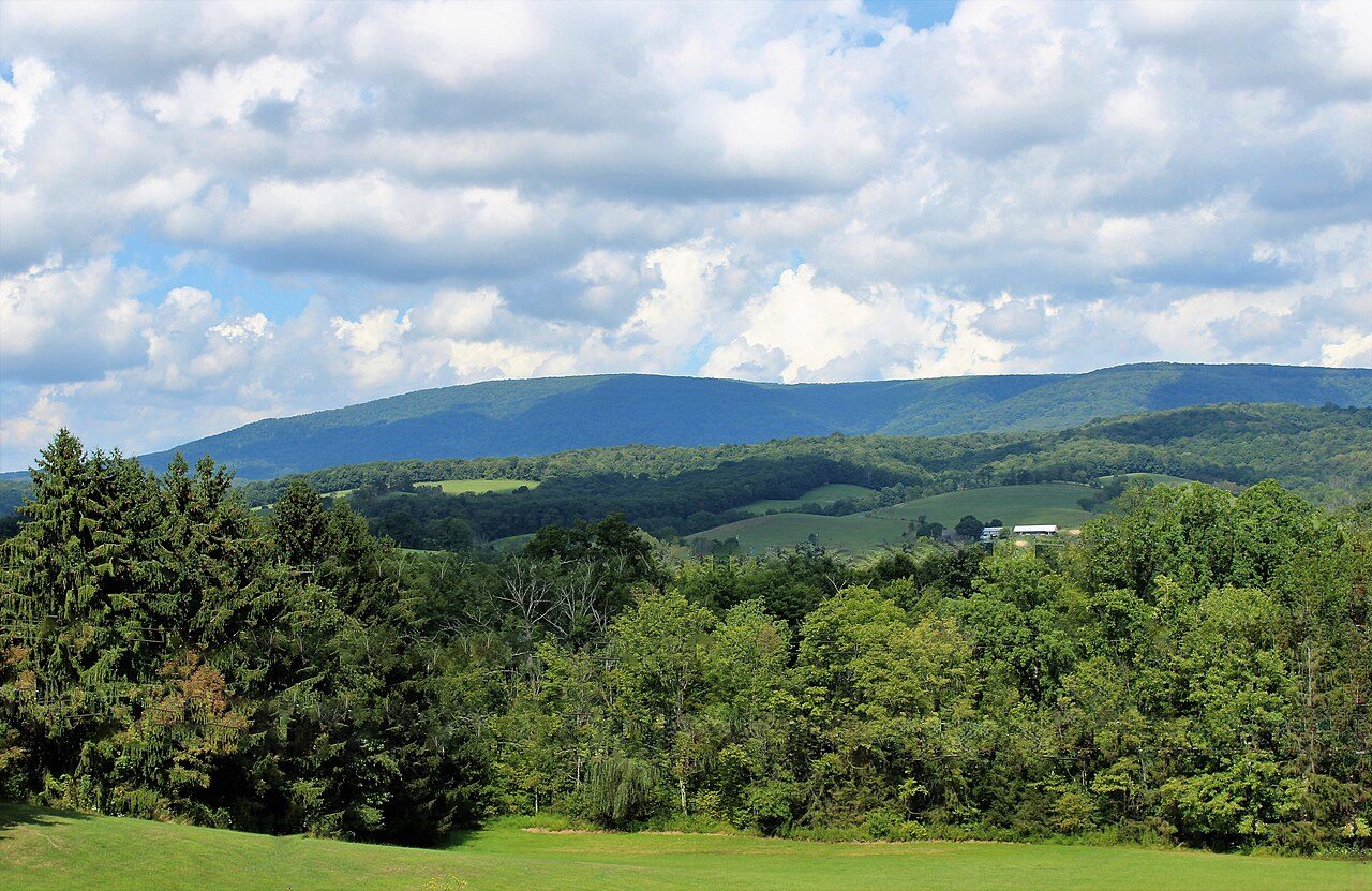
Laurel Summit State Park is a 6-acre (2.4 ha) Pennsylvania state park in Cook Township, Westmoreland County, Pennsylvania in the United States. It is also a picnic area with a scenic view of Linn Run on the summit of Laurel Mountain. The temperatures at Laurel Summit State Park are generally several degrees cooler than the surrounding towns in the valleys. The elevation of the park is 2,739 feet (835 m) above sea level. The area in and surrounding Laurel Summit State Park is now a thriving second growth forest. One hundred years ago it was generally described as a "waste land".
Description from the park's Wikipedia article (CC BY-SA), linked in the sources below.
Planning your visit
What to do
Airports near this park
The airports a visitor would actually fly into, nearest first — each link opens its profile on our sister site AirportProfiles.
- Pittsburgh International Airport (PIT) · Pittsburgh, United States · 61.4 miles away
- Washington Dulles International Airport (IAD) · Dulles, United States · 122.3 miles away
- Ronald Reagan Washington National Airport (DCA) · Washington, United States · 143.7 miles away
Parks nearby
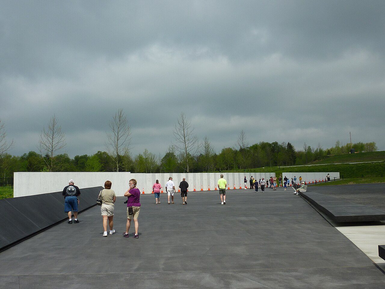
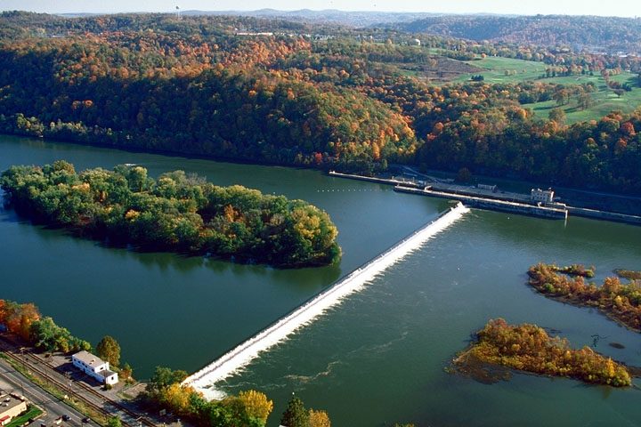
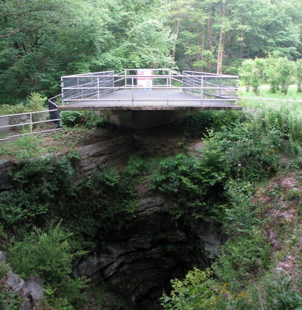
More parks in Pennsylvania

Frequently asked questions
Where is Laurel Summit State Park?
Laurel Summit State Park is in Pennsylvania, United States (40.1178° N, 79.1750° W).
When was Laurel Summit State Park established?
Laurel Summit State Park was established in 1964, per the source listed at the foot of this page.
How big is Laurel Summit State Park?
Laurel Summit State Park covers 6.0 acres (2.4 ha).
Sources
- https://en.wikipedia.org/wiki/List_of_Pennsylvania_state_parks — Wikipedia list of Pennsylvania state parks — park name, county/location, size, year where the table states them.
- https://en.wikipedia.org/wiki/Laurel_Summit_State_Park — Wikipedia article — description (CC BY-SA).