
National Park · Dominican Republic
Los Haitises National Park
Los Haitises National Park is a national park in Dominican Republic, covering 156,091 acres (63,168 ha), established in 1976.
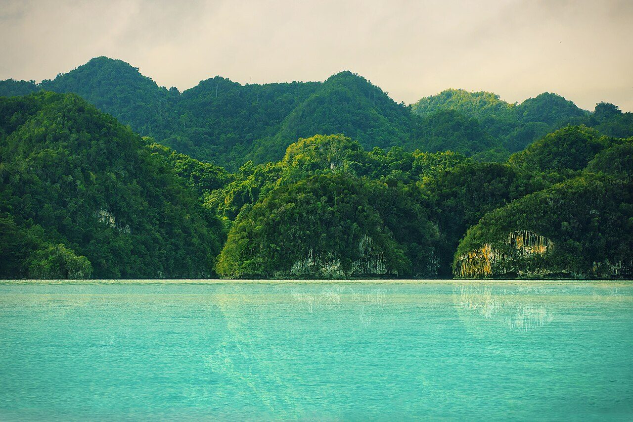
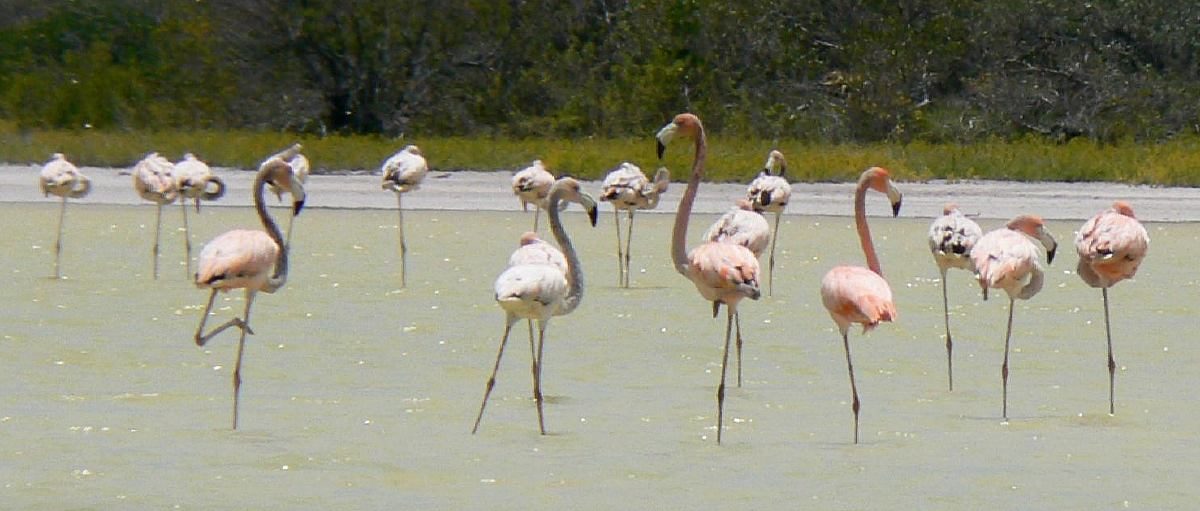
Photo: Anton Bielousov via Wikimedia Commons, CC BY-SA 3.0. Cropped and resized for display.
Park facts
| Park type | National Park |
|---|---|
| Location | Dominican Republic |
| Area | 156,091 acres (63,168 ha) |
| Established | 1976 |
| Coordinates | 19.0258° N, 69.6300° W |
Every fact above is taken from the sources listed below; anything no source states is left blank rather than guessed.
About Los Haitises National Park
Los Haitises National Park is a national park located on the remote northeast coast of the Dominican Republic that was established in 1976. It consists of a limestone karst plateau with conical hills, sinkholes and caverns, and there is a large area of mangrove forest on the coast. Other parts of the park are clad in subtropical humid forest and the area has an annual precipitation of about 2,000 mm (79 in). The park contains a number of different habitats and consequently has a great diversity of mammals and birds, including some rare species endemic to the island. Some of the caverns contain pictograms and petroglyphs.
Description from the park's Wikipedia article (CC BY-SA), linked in the sources below.
Airports near this park
The airports a visitor would actually fly into, nearest first — each link opens its profile on our sister site AirportProfiles.
- Las Américas International Airport (SDQ) · Santo Domingo, Dominican Republic · 41.3 miles away
- Casa De Campo International Airport (LRM) · La Romana, Dominican Republic · 61.5 miles away
- Cibao International Airport (STI) · Santiago, Dominican Republic · 68.7 miles away
Parks nearby
More parks in Dominican Republic

Frequently asked questions
Where is Los Haitises National Park?
Los Haitises National Park is in Dominican Republic (19.0258° N, 69.6300° W).
When was Los Haitises National Park established?
Los Haitises National Park was established in 1976, per the source listed at the foot of this page.
How big is Los Haitises National Park?
Los Haitises National Park covers 156,091 acres (63,168 ha).
Sources
- https://www.wikidata.org/wiki/Q42090 — Wikidata (CC0) — name, country, coordinates, area, established year, highest point where stated.
- https://en.wikipedia.org/wiki/Los_Haitises_National_Park — Wikipedia article — description (CC BY-SA).