
State Park · Michigan, United States
Mackinac Island State Park
Mackinac Island State Park is a state park in Michigan, United States, covering 1,800 acres (728 ha), established in 1875.
State Park · Michigan, United States
No freely licensed photograph of this park is in our library yet — rather than borrow a picture of somewhere else, this profile leads with its verified facts.
Park facts
| Park type | State Park |
|---|---|
| Location | Mackinac, Michigan, United States |
| Area | 1,800 acres (728 ha) |
| Established | 1875 |
| Coordinates | 45.8667° N, 84.6167° W |
| Managed by | Michigan state park system |
Every fact above is taken from the sources listed below; anything no source states is left blank rather than guessed.
About Mackinac Island State Park
Mackinac Island State Park is a state park located on Mackinac Island in the U.S. state of Michigan. A Lake Huron island, it is near the Straits of Mackinac. The island park encompasses 1,800 acres (7.3 km2), which is approximately 80% of the island's total area. The park is also within the boundaries of the city of Mackinac Island and has permanent residents within its boundaries. M-185 circles the perimeter of the park as the only motorless highway in the state due to the island's ban of automobiles. The park is governed by the Michigan Department of Natural Resources and the Mackinac Island State Park Commission.
Description from the park's Wikipedia article (CC BY-SA), linked in the sources below.
Airports near this park
The airports a visitor would actually fly into, nearest first — each link opens its profile on our sister site AirportProfiles.
- Pellston Regional Airport of Emmet County Airport (PLN) · Pellston, United States · 22.2 miles away
- Chippewa County International Airport (CIU) · Kincheloe, United States · 27.0 miles away
- Sault Ste Marie Airport (YAM) · Sault Ste Marie, Canada · 42.9 miles away
Parks nearby
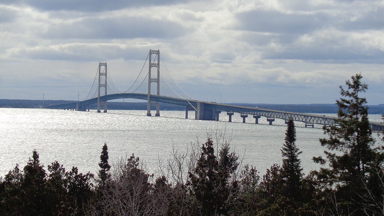
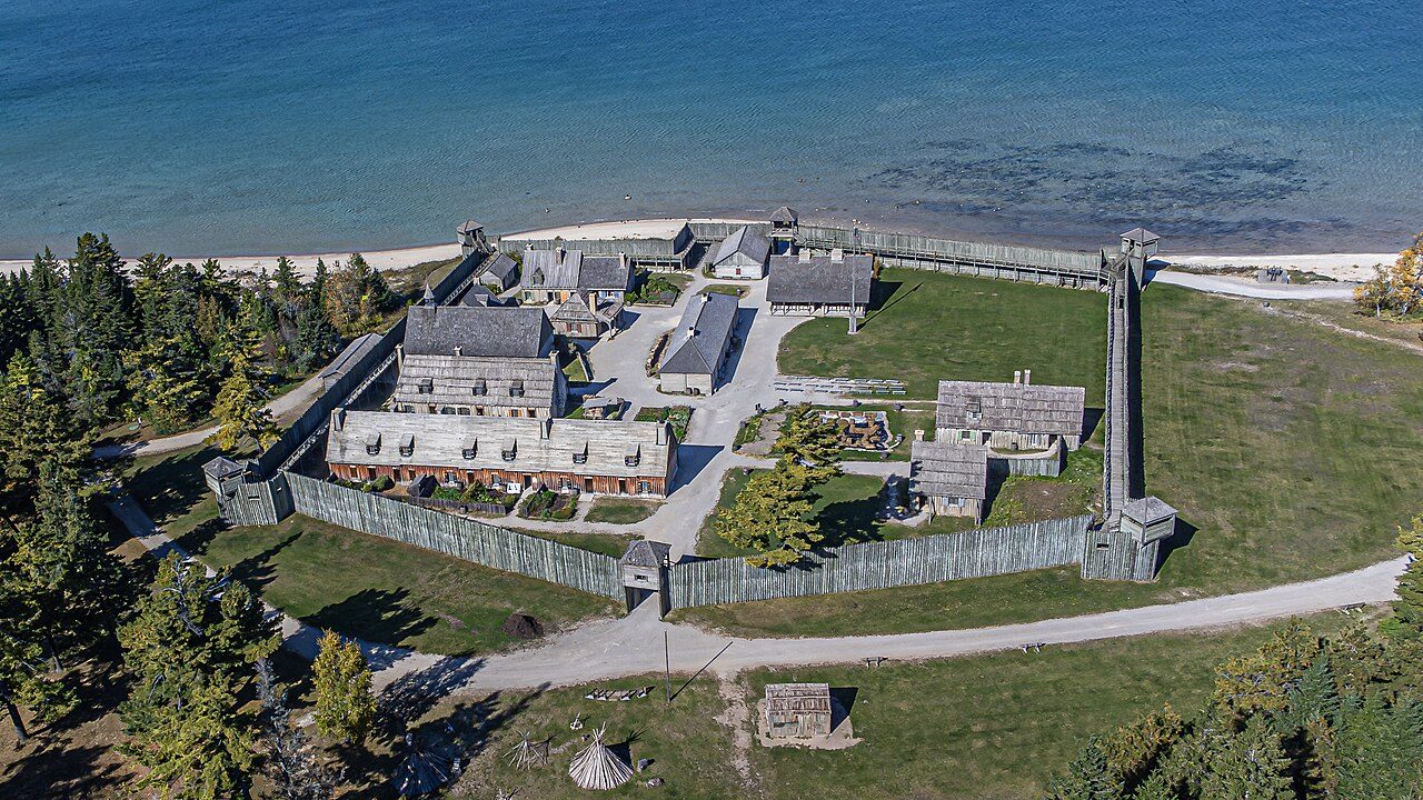
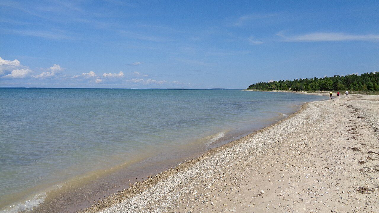
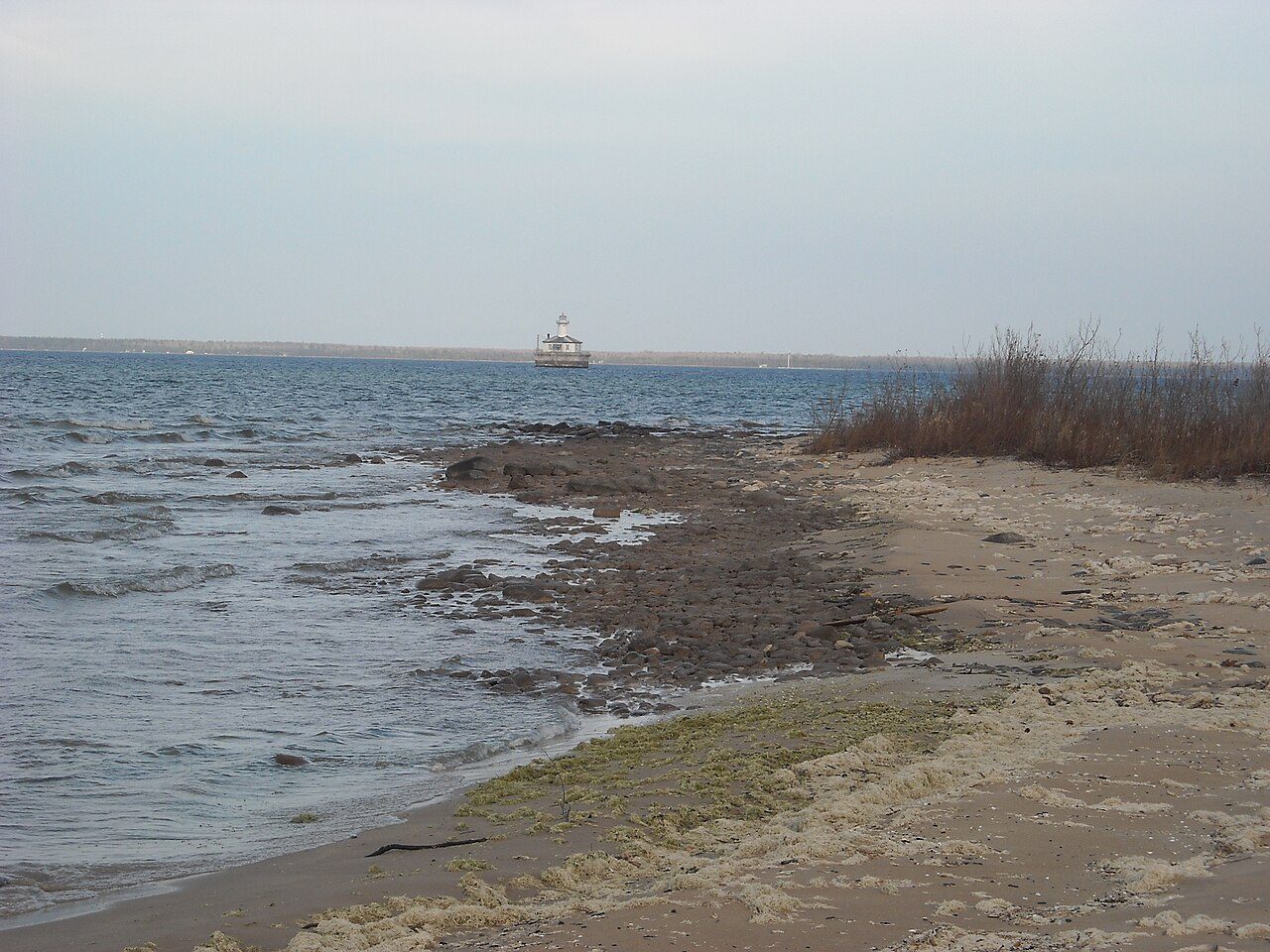
More parks in Michigan
Frequently asked questions
Where is Mackinac Island State Park?
Mackinac Island State Park is in Michigan, United States (45.8667° N, 84.6167° W).
When was Mackinac Island State Park established?
Mackinac Island State Park was established in 1875, per the source listed at the foot of this page.
How big is Mackinac Island State Park?
Mackinac Island State Park covers 1,800 acres (728 ha).
Sources
- https://en.wikipedia.org/wiki/List_of_Michigan_state_parks — Wikipedia list of Michigan state parks — park name, county/location, size, year where the table states them.
- https://en.wikipedia.org/wiki/Mackinac_Island_State_Park — Wikipedia article — description (CC BY-SA).