
National Park · Australia
Mapleton Falls National Park
Mapleton Falls National Park is a national park in Australia, covering 63.9 acres (25.9 ha), established in 1973.
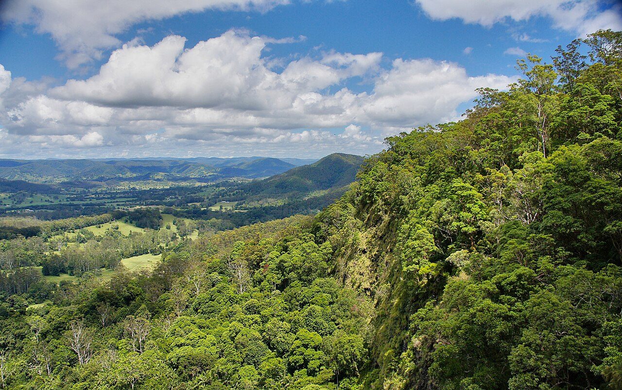
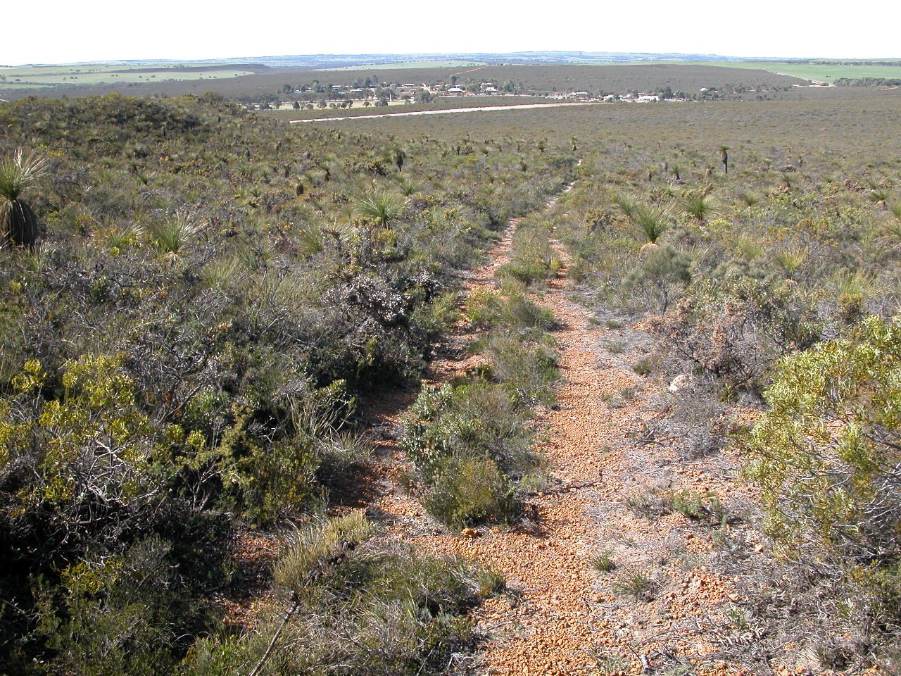
Photo: Tatters ✾ from Brisbane, Australia via Wikimedia Commons, CC BY-SA 2.0. Cropped and resized for display.
Park facts
| Park type | National Park |
|---|---|
| Location | Australia |
| Area | 63.9 acres (25.9 ha) |
| Established | 1973 |
| Coordinates | 26.6306° S, 152.8389° E |
Every fact above is taken from the sources listed below; anything no source states is left blank rather than guessed.
About Mapleton Falls National Park
Mapleton Falls is a national park near the town of Mapleton on the Blackall Range in South East Queensland, Australia, 95 kilometres (59 mi) north of Brisbane. The falls are part of Pencil Creek and drop 120 metres (390 ft). The waterfall became a forest reserve in 1938 and then in 1973 it was declared a national park. Section 2 of the Sunshine Coast Hinterland Great Walk, a rugged long-distance walking track, passes through the park. There are a number of smaller walks as well.
Description from the park's Wikipedia article (CC BY-SA), linked in the sources below.
Planning your visit
What to do
Airports near this park
The airports a visitor would actually fly into, nearest first — each link opens its profile on our sister site AirportProfiles.
- Sunshine Coast Airport (MCY) · Maroochydore, Australia · 15.3 miles away
- Brisbane International Airport (BNE) · Brisbane, Australia · 54.8 miles away
- Toowoomba Wellcamp Airport (WTB) · Toowoomba, Australia · 90.8 miles away
Parks nearby
More parks in Australia

Frequently asked questions
Where is Mapleton Falls National Park?
Mapleton Falls National Park is in Australia (26.6306° S, 152.8389° E).
When was Mapleton Falls National Park established?
Mapleton Falls National Park was established in 1973, per the source listed at the foot of this page.
How big is Mapleton Falls National Park?
Mapleton Falls National Park covers 63.9 acres (25.9 ha).
Sources
- https://www.wikidata.org/wiki/Q1772511 — Wikidata (CC0) — name, country, coordinates, area, established year, highest point where stated.
- https://en.wikipedia.org/wiki/Mapleton_Falls_National_Park — Wikipedia article — description (CC BY-SA).