
State Park · Minnesota, United States
Maplewood State Park
Maplewood State Park is a state park in Minnesota, United States, covering 8,127 acres (3,289 ha), established in 1963.
State Park · Minnesota, United States
No freely licensed photograph of this park is in our library yet — rather than borrow a picture of somewhere else, this profile leads with its verified facts.
Park facts
| Park type | State Park |
|---|---|
| Location | Otter Tail, Minnesota, United States |
| Area | 8,127 acres (3,289 ha) |
| Established | 1963 |
| Coordinates | 46.5336° N, 95.9492° W |
| Managed by | Minnesota state park system |
Every fact above is taken from the sources listed below; anything no source states is left blank rather than guessed.
About Maplewood State Park
Maplewood State Park is a state park of Minnesota, United States, near Pelican Rapids. The park preserves a pre-contact habitation site that was occupied in two different periods (650–900 CE and 1450–1650 CE) in a forest/prairie transition zone. Located in the Leaf Mountains, Maplewood encompasses 9,250 acres (3,740 ha) in Otter Tail County and is known for its hardwood trees including sugar maple, basswood, American elm, and oak, which together provide a display of fall colors each year.
Description from the park's Wikipedia article (CC BY-SA), linked in the sources below.
Airports near this park
The airports a visitor would actually fly into, nearest first — each link opens its profile on our sister site AirportProfiles.
- Hector International Airport (FAR) · Fargo, United States · 49.0 miles away
- Brainerd Lakes Regional Airport (BRD) · Brainerd, United States · 87.1 miles away
- Thief River Falls Regional Airport (TVF) · Thief River Falls, United States · 106.4 miles away
Parks nearby
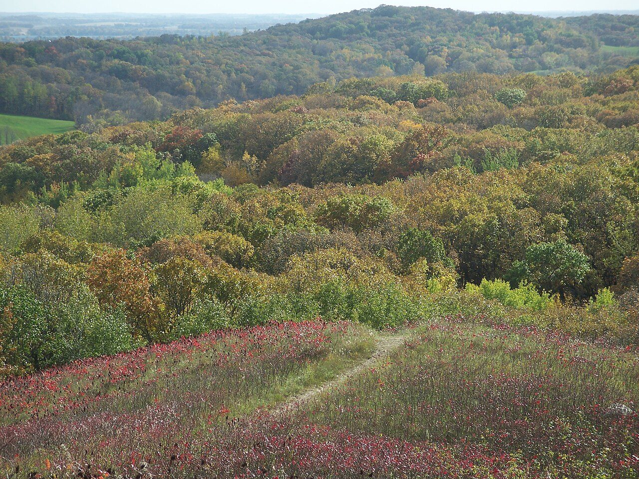
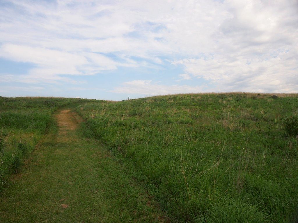
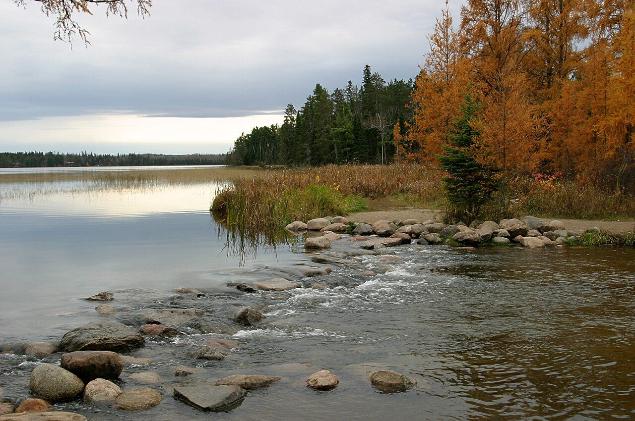
More parks in Minnesota
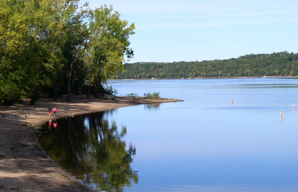
Frequently asked questions
Where is Maplewood State Park?
Maplewood State Park is in Minnesota, United States (46.5336° N, 95.9492° W).
When was Maplewood State Park established?
Maplewood State Park was established in 1963, per the source listed at the foot of this page.
How big is Maplewood State Park?
Maplewood State Park covers 8,127 acres (3,289 ha).
Sources
- https://en.wikipedia.org/wiki/List_of_Minnesota_state_parks — Wikipedia list of Minnesota state parks — park name, county/location, size, year where the table states them.
- https://en.wikipedia.org/wiki/Maplewood_State_Park — Wikipedia article — description (CC BY-SA).