
National Park · Venezuela
Morrocoy National Park
Morrocoy National Park is a national park in Venezuela, covering 79,296 acres (32,090 ha), established in 1974.
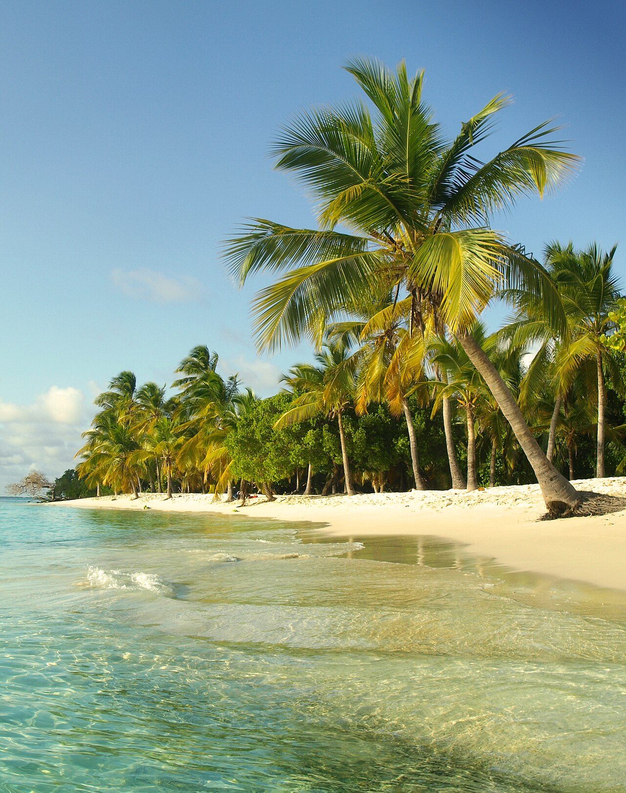
Photo: Jorge Paparoni via Wikimedia Commons, CC BY-SA 3.0. Cropped and resized for display.
Park facts
| Park type | National Park |
|---|---|
| Location | Venezuela |
| Area | 79,296 acres (32,090 ha) |
| Established | 1974 |
| Coordinates | 10.8560° N, 68.3060° W |
Every fact above is taken from the sources listed below; anything no source states is left blank rather than guessed.
About Morrocoy National Park
Morrocoy National Park lies on the east coast of Falcón State and the north-west side of Golfo Triste, on the west central Venezuelan coast, near the towns of Boca de Aroa, Tucacas, Sanare, Chichiriviche, and Tocuyo de la Costa. It was declared a national park on 26 May 1974. The park's wildlife has suffered from human activity, and there has been a significant decline in coral species in recent years.
Description from the park's Wikipedia article (CC BY-SA), linked in the sources below.
Airports near this park
The airports a visitor would actually fly into, nearest first — each link opens its profile on our sister site AirportProfiles.
- Arturo Michelena International Airport (VLN) · Valencia, Venezuela · 55.1 miles away
- Flamingo International Airport (BON) · Kralendijk, Caribbean Netherlands · 88.1 miles away
- Jacinto Lara International Airport (BRM) · Barquisimeto, Venezuela · 91.0 miles away
Parks nearby
More parks in Venezuela

Frequently asked questions
Where is Morrocoy National Park?
Morrocoy National Park is in Venezuela (10.8560° N, 68.3060° W).
When was Morrocoy National Park established?
Morrocoy National Park was established in 1974, per the source listed at the foot of this page.
How big is Morrocoy National Park?
Morrocoy National Park covers 79,296 acres (32,090 ha).
Sources
- https://www.wikidata.org/wiki/Q3896391 — Wikidata (CC0) — name, country, coordinates, area, established year, highest point where stated.
- https://en.wikipedia.org/wiki/Morrocoy_National_Park — Wikipedia article — description (CC BY-SA).