
National Park · Washington (U.S. state), United States
Mount Rainier National Park
Mount Rainier National Park is a national park in Washington (U.S. state), United States, covering 236,382 acres (95,660 ha), established in 1899; it recorded 1,635,342 visits in 2025.
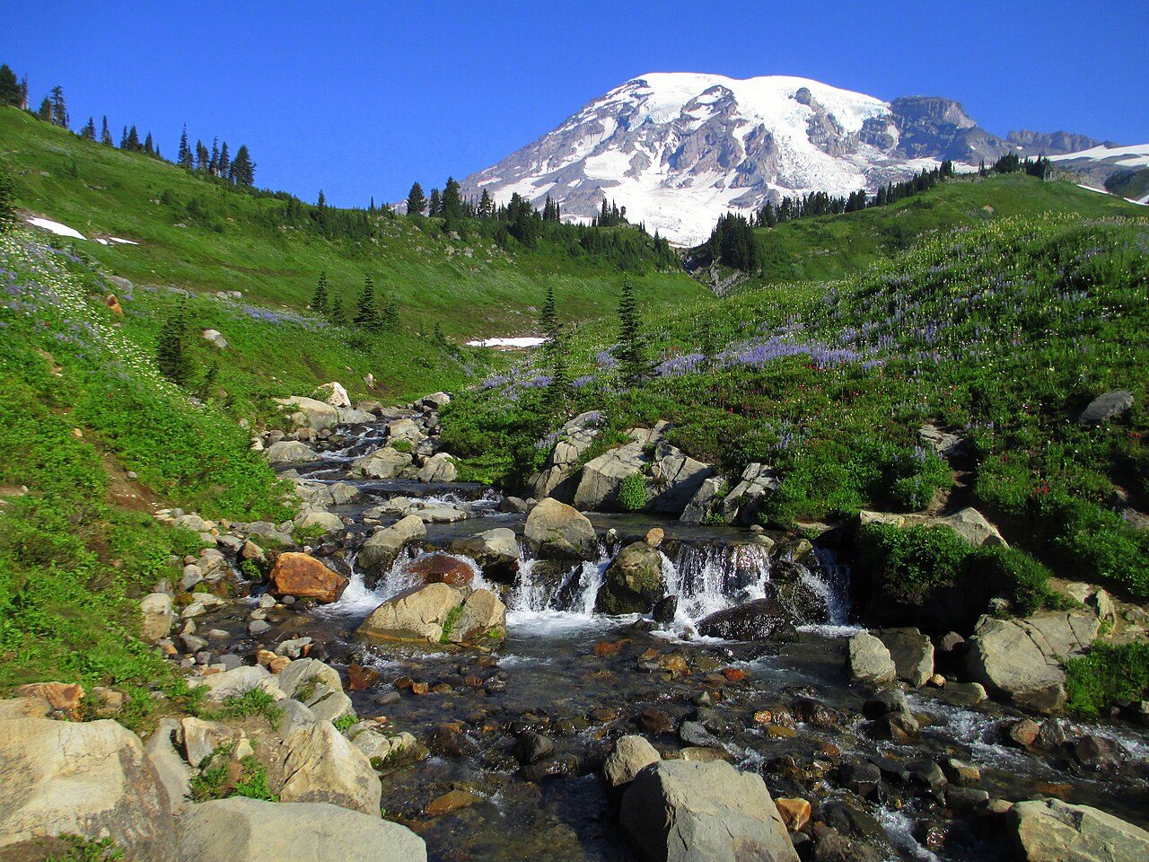
Photo: Samuel Kerr via Wikimedia Commons, CC BY-SA 3.0. Cropped and resized for display.
Park facts
| Park type | National Park |
|---|---|
| Location | Washington (U.S. state), United States |
| Area | 236,382 acres (95,660 ha) |
| Established | 1899 |
| Annual visits (2025) | 1,635,342 |
| Highest point | Mount Rainier — 4,389 m (14,400 ft) |
| Coordinates | 46.8500° N, 121.7500° W |
| Managed by | National Park Service |
Every fact above is taken from the sources listed below; anything no source states is left blank rather than guessed.
About Mount Rainier National Park
Mount Rainier National Park ( ray-NEER) is a national park of the United States located in southeast Pierce County and northeast Lewis County in the U.S. state of Washington. The park was established on March 2, 1899, as the fourth national park in the United States, preserving 236,381 acres (369.3 sq mi; 956.6 km2) including all of Mount Rainier, a 14,406-foot (4,391 m) stratovolcano. The mountain rises abruptly from the surrounding land with elevations in the park ranging from 1,600 feet to over 14,000 feet (490–4,300 m).
Description from the park's Wikipedia article (CC BY-SA), linked in the sources below.
Planning your visit
Best time to visit
July to September — wildflowers and snow-free trails; winters bring heavy snow
What to do
Getting there
| Nearest town | Ashford, Washington |
|---|---|
| Nearest airport | Seattle-Tacoma International Airport |
| Getting there | The one-way distance from the Seattle to the town of Ashford, located just outside the Nisqually entrance in the southwest corner of the park, is 85 miles. |
Where to stay
| Campgrounds | Yes |
|---|---|
| Lodges | Paradise Inn and National Park Inn inside the park |
Famous trails
- Skyline Trail — 5.6 miles (9 km) — Hard
- Burroughs Mountain Trail — 8.4 miles (13.5 km) — Hard
Like Mount Rainier National Park? Visit Mount Rainier National Park’s official park page for hours and current conditions before you travel.
Airports near this park
The airports a visitor would actually fly into, nearest first — each link opens its profile on our sister site AirportProfiles.
- Seattle–Tacoma International Airport (SEA) · Seattle, United States · 49.0 miles away
- Portland International Airport (PDX) · Portland, United States · 96.1 miles away
- Victoria International Airport (YYJ) · Victoria, Canada · 146.6 miles away
Parks nearby
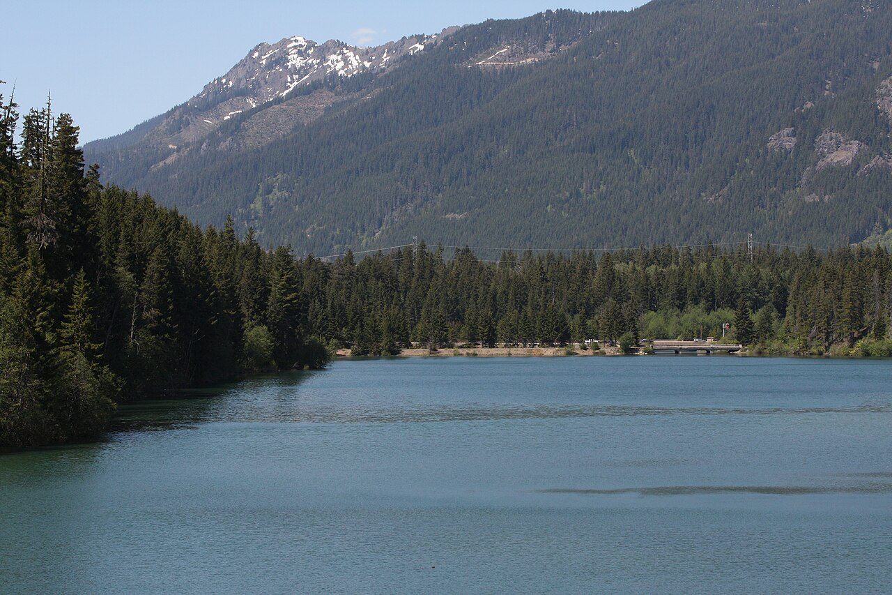
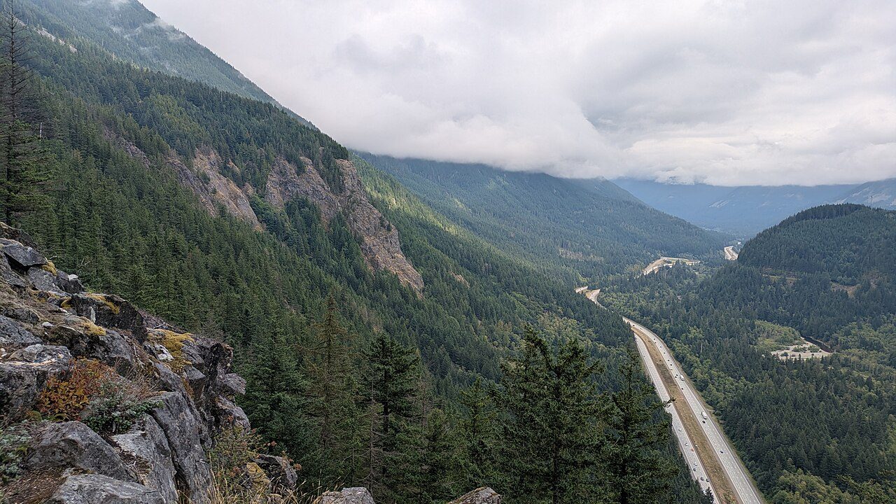

More parks in Washington (U.S. state)
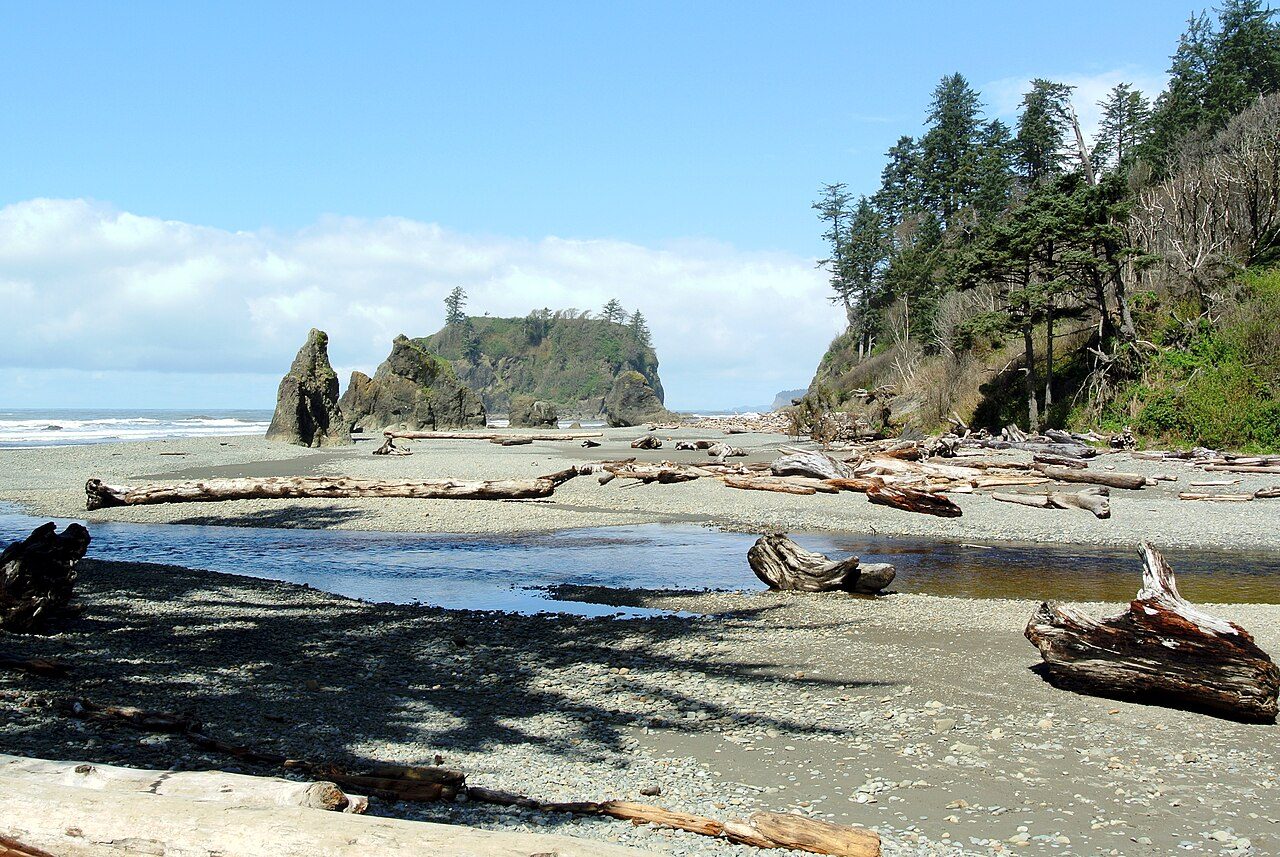
Olympic National Park
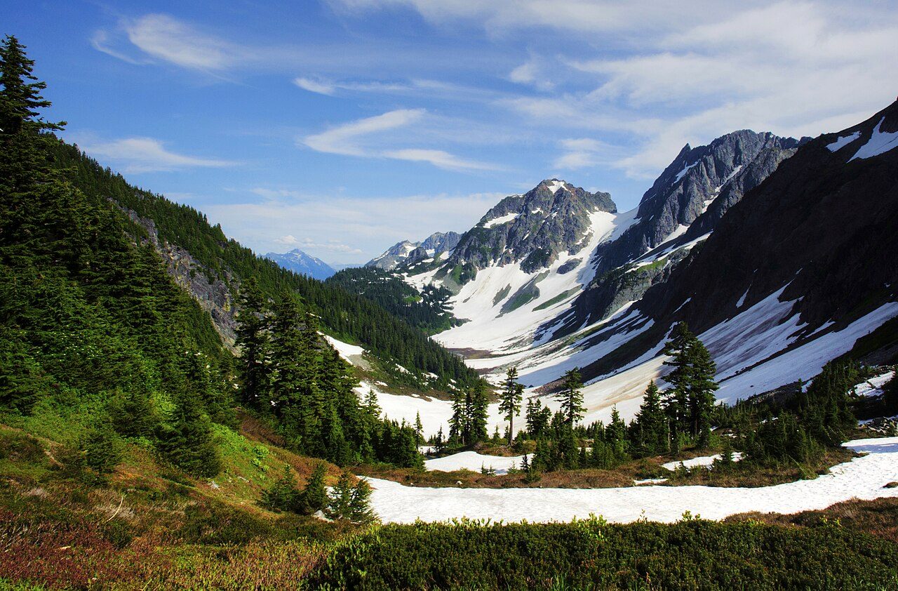
North Cascades National Park
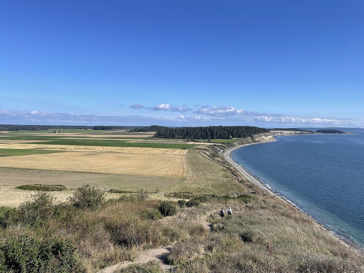
Ebey's Landing National Historical Reserve
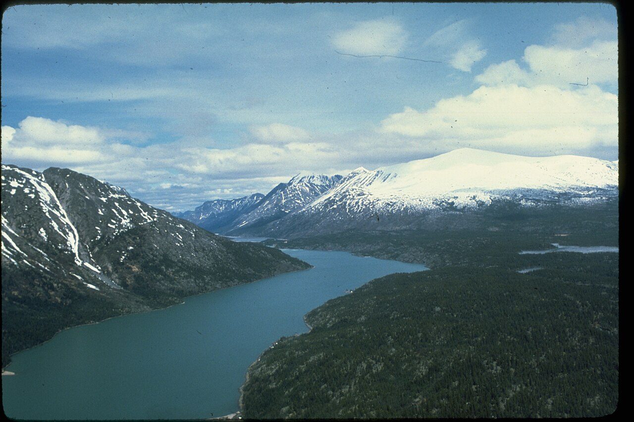
Lake Chelan National Recreation Area
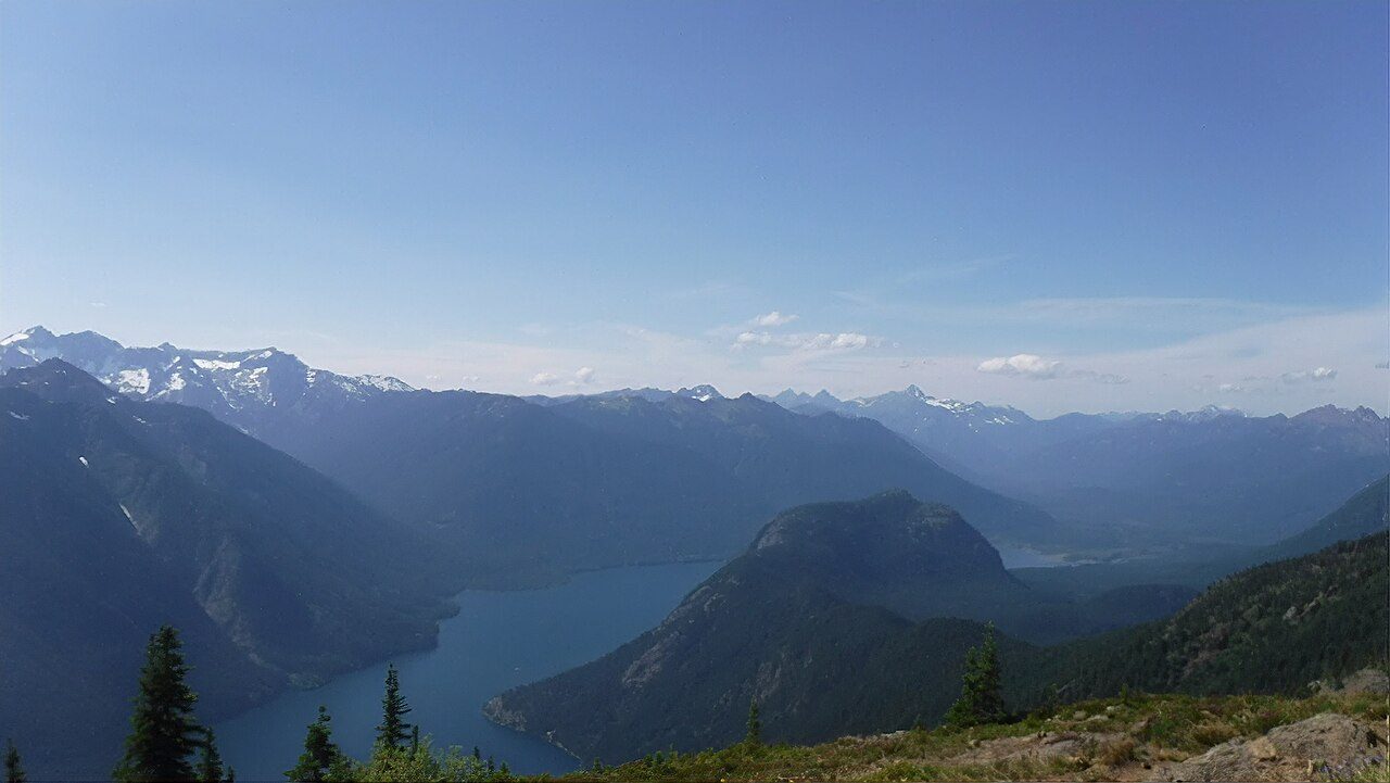
Ross Lake National Recreation Area
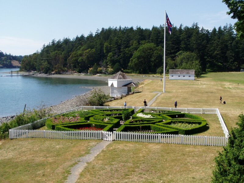
San Juan Island National Historical Park
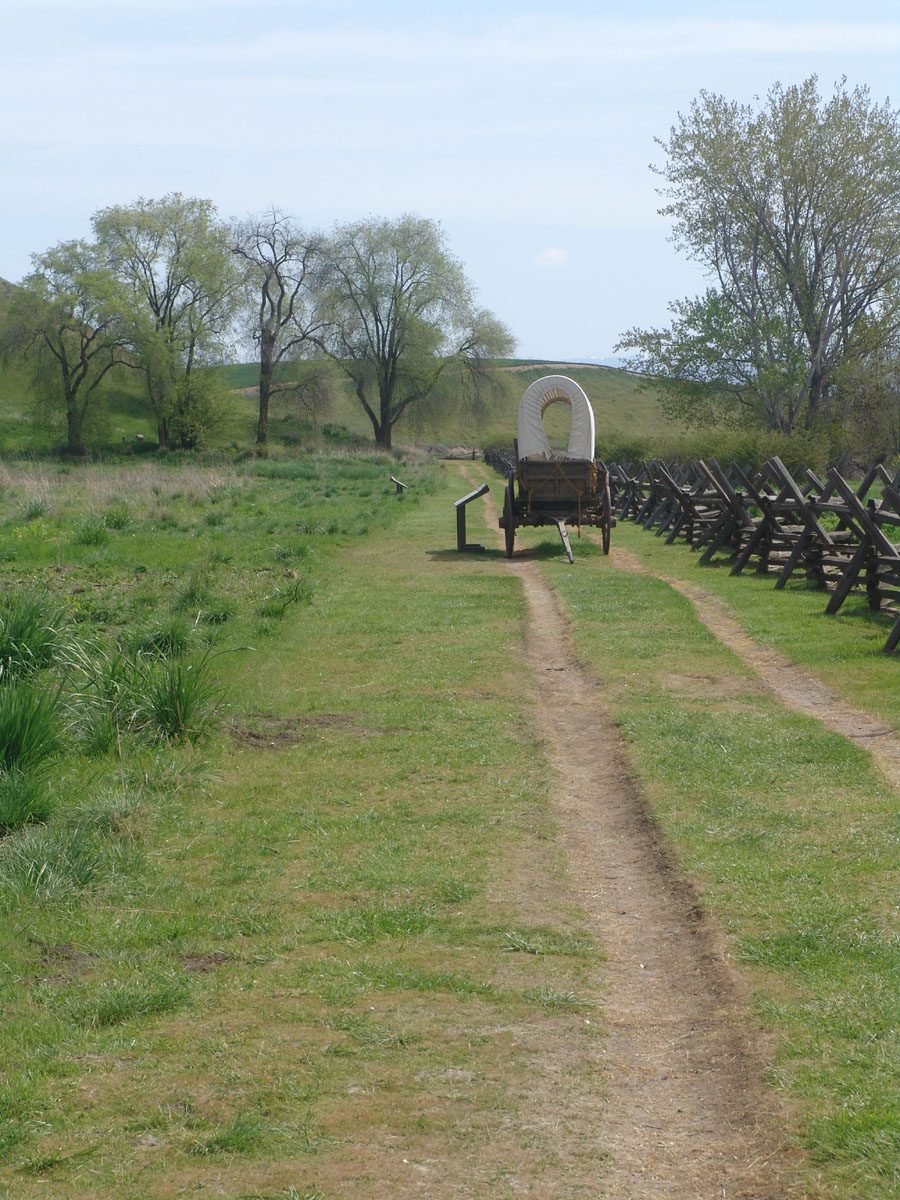
Whitman Mission National Historic Site
Fort Vancouver National Historic Site
Frequently asked questions
Where is Mount Rainier National Park?
Mount Rainier National Park is in Washington (U.S. state), United States (46.8500° N, 121.7500° W).
When was Mount Rainier National Park established?
Mount Rainier National Park was established in 1899, per the source listed at the foot of this page.
How big is Mount Rainier National Park?
Mount Rainier National Park covers 236,382 acres (95,660 ha).
How many people visit Mount Rainier National Park each year?
It recorded 1,635,342 recreation visits in 2025, the latest published figure.
What is the highest point in Mount Rainier National Park?
The highest point is Mount Rainier, at 4,389 metres (14,400 ft).
When is the best time to visit Mount Rainier National Park?
July to September — wildflowers and snow-free trails; winters bring heavy snow.
Does Mount Rainier National Park have campgrounds?
Yes — Mount Rainier National Park has campgrounds.
How do I get to Mount Rainier National Park?
The nearest town is Ashford, Washington. The nearest airport is Seattle-Tacoma International Airport. The one-way distance from the Seattle to the town of Ashford, located just outside the Nisqually entrance in the southwest corner of the park, is 85 miles.
Sources
- https://en.wikipedia.org/wiki/List_of_the_United_States_National_Park_System_official_units — Wikipedia list of National Park System official units — unit name, state, official designation.
- https://en.wikipedia.org/wiki/List_of_areas_in_the_United_States_National_Park_System — Wikipedia list of National Park System areas — year established and gross area.
- https://en.wikipedia.org/wiki/List_of_national_parks_of_the_United_States — Wikipedia list of US national parks — coordinates, established date, area, recreation visitors (2025), description.
- https://en.wikipedia.org/wiki/Mount_Rainier_National_Park — Wikipedia article — description (CC BY-SA).
- https://www.nps.gov/mora/ — Official park page.
- https://www.nps.gov/mora/planyourvisit/directions.htm — Getting there — nearest town and airport, as stated by the source.
- https://www.nps.gov/mora/planyourvisit/hiking.htm — Named trails, as stated by the source.