
National Park · Guinea-Bissau
Orango Islands National Park
Orango Islands National Park is a national park in Guinea-Bissau, covering 391,007 acres (158,235 ha), established in 2000.
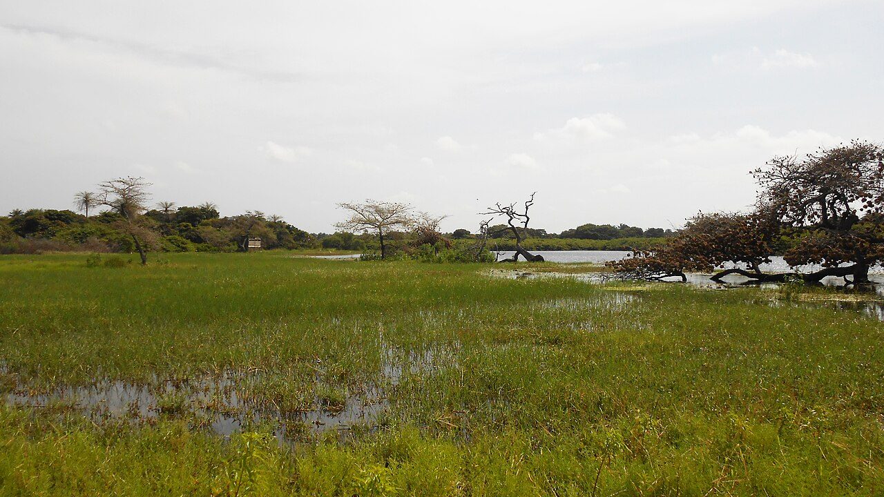
Photo: Joehawkins via Wikimedia Commons, CC BY-SA 4.0. Cropped and resized for display.

Park facts
| Park type | National Park |
|---|---|
| Location | Guinea-Bissau |
| Area | 391,007 acres (158,235 ha) |
| Established | 2000 |
| Coordinates | 11.0658° N, 16.1380° W |
Every fact above is taken from the sources listed below; anything no source states is left blank rather than guessed.
About Orango Islands National Park
The Orango National Park (Portuguese: Parque Nacional de Orango) is a protected area in Guinea-Bissau. It was established in December 2000. The park has an area of 1,582 km2 (611 sq mi), which is partly marine. It covers the southern part of the Bissagos Archipelago, notably the islands Orango, Orangozinho, Meneque, Canogo and Imbone, and the surrounding sea. The marine area does not exceed 30 m (100 ft) in depth. The park is administered by Instituto da Biodiversidade e das Áreas Protegidas da Guiné-Bissau (Biodiversity Institute and Protected Areas of Guinea-Bissau). About 160 km2 (60 sq mi) of the park is covered by mangroves.
Description from the park's Wikipedia article (CC BY-SA), linked in the sources below.
Airports near this park
The airports a visitor would actually fly into, nearest first — each link opens its profile on our sister site AirportProfiles.
- Osvaldo Vieira International Airport (OXB) · Bissau, Guinea-Bissau · 66.0 miles away
Parks nearby
João Vieira and Poilão Marine National Park
Cantanhez Forest National Park
Lagoas Cufada Natural Park
Basse Casamance National Park
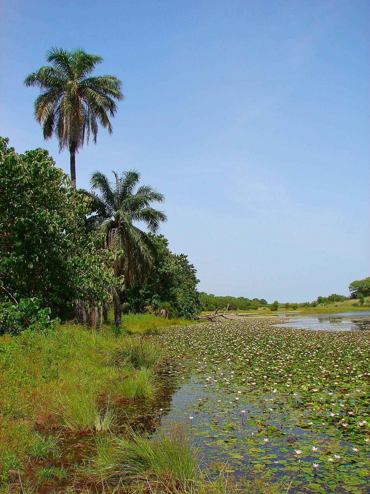
Kiang West National Park
Tanji Bird Reserve
More parks in Guinea-Bissau
Frequently asked questions
Where is Orango Islands National Park?
Orango Islands National Park is in Guinea-Bissau (11.0658° N, 16.1380° W).
When was Orango Islands National Park established?
Orango Islands National Park was established in 2000, per the source listed at the foot of this page.
How big is Orango Islands National Park?
Orango Islands National Park covers 391,007 acres (158,235 ha).
Sources
- https://www.wikidata.org/wiki/Q7099832 — Wikidata (CC0) — name, country, coordinates, area, established year, highest point where stated.
- https://en.wikipedia.org/wiki/Orango_National_Park — Wikipedia article — description (CC BY-SA).