
National Park · Australia
Paluma Range National Park
Paluma Range National Park is a national park in Australia, covering 196,077 acres (79,350 ha), established in 1994.
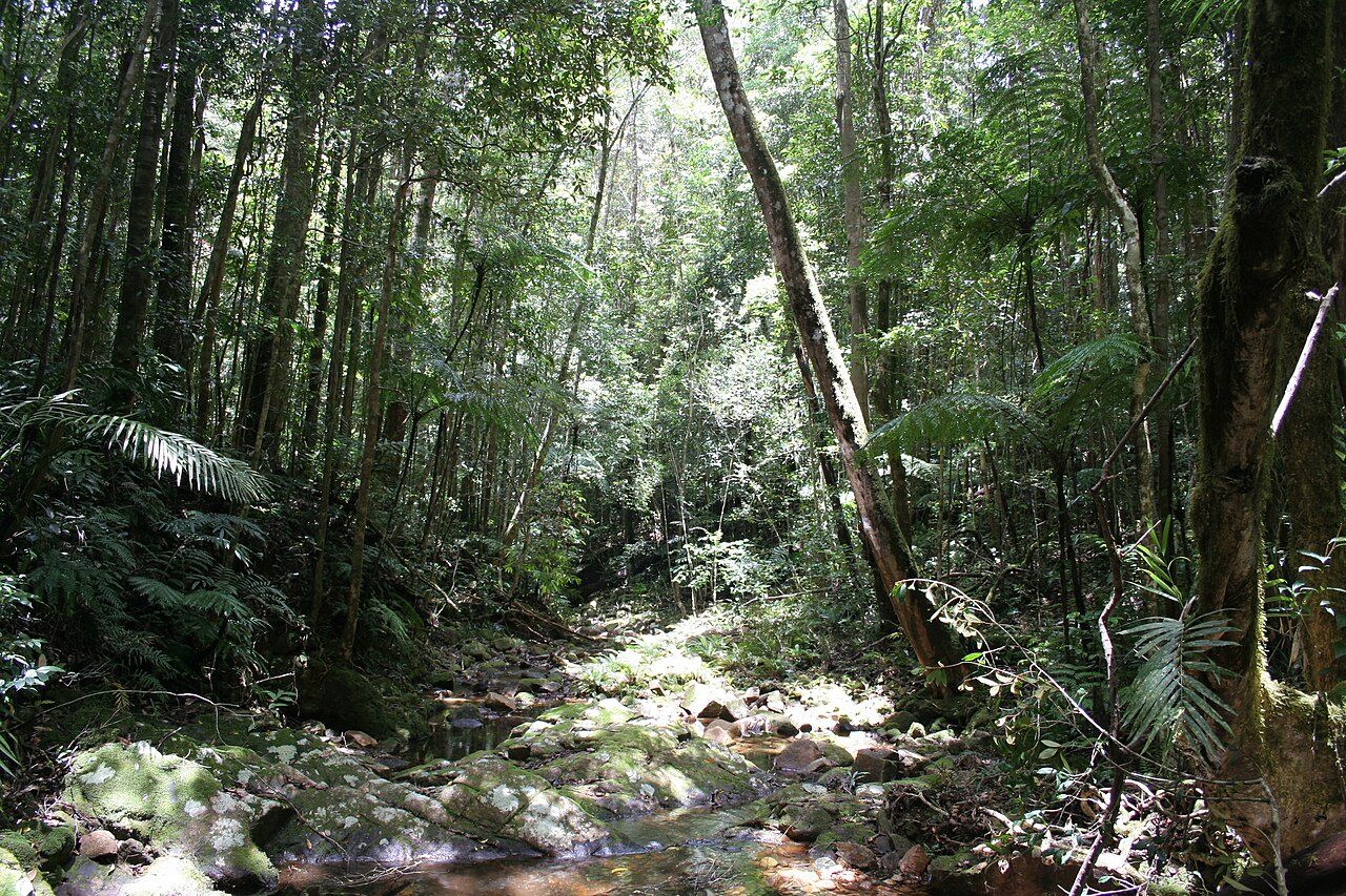
Photo: www.gondwananet.com via Wikimedia Commons, CC BY-SA 3.0. Cropped and resized for display.
Park facts
| Park type | National Park |
|---|---|
| Location | Australia |
| Area | 196,077 acres (79,350 ha) |
| Established | 1994 |
| Coordinates | 18.8717° S, 146.1250° E |
Every fact above is taken from the sources listed below; anything no source states is left blank rather than guessed.
About Paluma Range National Park
Paluma Range is a national park located between Ingham and Townsville, in north Queensland, Australia. The park is 1188 km north of Brisbane.
Description from the park's Wikipedia article (CC BY-SA), linked in the sources below.
Airports near this park
The airports a visitor would actually fly into, nearest first — each link opens its profile on our sister site AirportProfiles.
- Cairns International Airport (CNS) · Cairns, Australia · 139.9 miles away
Parks nearby
More parks in Australia

Frequently asked questions
Where is Paluma Range National Park?
Paluma Range National Park is in Australia (18.8717° S, 146.1250° E).
When was Paluma Range National Park established?
Paluma Range National Park was established in 1994, per the source listed at the foot of this page.
How big is Paluma Range National Park?
Paluma Range National Park covers 196,077 acres (79,350 ha).
Sources
- https://www.wikidata.org/wiki/Q1639811 — Wikidata (CC0) — name, country, coordinates, area, established year, highest point where stated.
- https://en.wikipedia.org/wiki/Paluma_Range_National_Park — Wikipedia article — description (CC BY-SA).