
National Park · India
Papikonda National Park
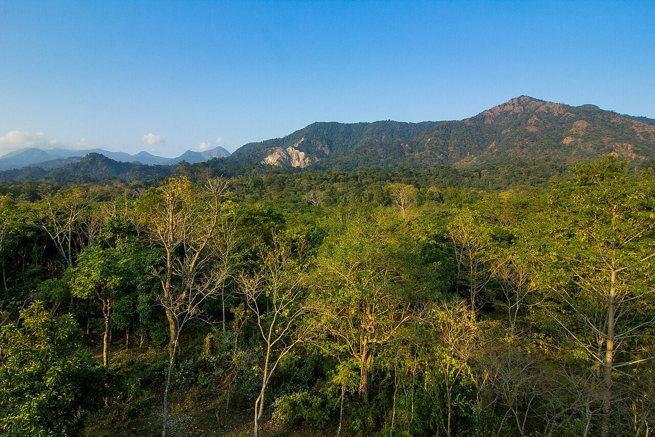
Papikonda National Park is a national park in India, covering 146,039 acres (59,100 ha).
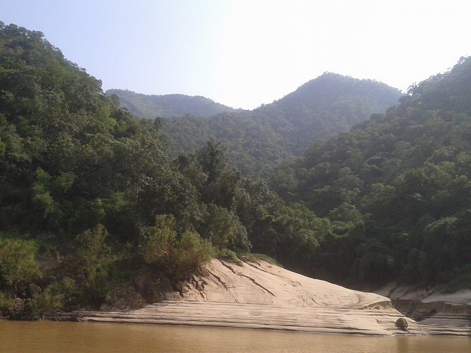
Photo: Pranayraj1985 via Wikimedia Commons, CC BY-SA 4.0. Cropped and resized for display.
Park facts
| Park type | National Park |
|---|---|
| Location | India |
| Area | 146,039 acres (59,100 ha) |
| Coordinates | 17.4830° N, 81.4856° E |
Every fact above is taken from the sources listed below; anything no source states is left blank rather than guessed.
About Papikonda National Park
Papikonda National Park is a national park in India, located near Rajamahendravaram in the Papi Hills of the Polavaram and Eluru districts of Andhra Pradesh, and covering an area of 1,012.86 km2 (391.07 mi2). It is an Important Bird and Biodiversity Area and home to some endangered species of flora and fauna. No part of Papikonda remains outside East and West Godavari districts after 2014 and the construction of Polavaram Dam.
Description from the park's Wikipedia article (CC BY-SA), linked in the sources below.
Airports near this park
The airports a visitor would actually fly into, nearest first — each link opens its profile on our sister site AirportProfiles.
- Vijayawada International Airport (VGA) · Vijayawada, India · 79.7 miles away
- Alluri Sitarama Raju International Airport (Vizag) (VTZ) · Visakhapatnam, India · 137.0 miles away
Parks nearby
Kanger Ghati National Park
Indravati National Park
Mahavir Harina Vanasthali National Park
Kasu Brahmananda Reddy National Park
Mrugavani National Park
Tadoba-Andhari Tiger Reserve
More parks in India

Frequently asked questions
Where is Papikonda National Park?
Papikonda National Park is in India (17.4830° N, 81.4856° E).
How big is Papikonda National Park?
Papikonda National Park covers 146,039 acres (59,100 ha).
Sources
- https://www.wikidata.org/wiki/Q18129185 — Wikidata (CC0) — name, country, coordinates, area, established year, highest point where stated.
- https://en.wikipedia.org/wiki/Papikonda_National_Park — Wikipedia article — description (CC BY-SA).