
National Park · Nepal
Parsa National Park
Parsa National Park is a national park in Nepal, covering 123,305 acres (49,900 ha).
National Park · Nepal
No freely licensed photograph of this park is in our library yet — rather than borrow a picture of somewhere else, this profile leads with its verified facts.
Park facts
| Park type | National Park |
|---|---|
| Location | Nepal |
| Area | 123,305 acres (49,900 ha) |
| Coordinates | 27.4667° N, 84.3333° E |
Every fact above is taken from the sources listed below; anything no source states is left blank rather than guessed.
About Parsa National Park
Parsa National Park is a national park in the Terai of south-central Nepal covering an area of 627.39 km2 (242.24 sq mi) in the Parsa, Makwanpur and Bara Districts and ranging in elevation from 435 to 950 m (1,427 to 3,117 ft) in the Sivalik Hills. It was established as a wildlife reserve in 1984 and received national park status in 2017. It is surrounded by a buffer zone since 2005 with an area of 285.3 km2 (110.2 sq mi). In 2015, the protected area was further extended by 49 sq mi (128 km2). To the north of Parsa National Park, the East Rapti River and Sivalik Hills form a natural boundary to human settlements.
Description from the park's Wikipedia article (CC BY-SA), linked in the sources below.
Airports near this park
The airports a visitor would actually fly into, nearest first — each link opens its profile on our sister site AirportProfiles.
- Pokhara International Airport (PHH) · Pokhara, Nepal · 53.2 miles away
- Gautam Buddha International Airport (BWA) · Siddharthanagar (Bhairahawa), Nepal · 56.6 miles away
- Tribhuvan International Airport (KTM) · Kathmandu, Nepal · 64.8 miles away
Parks nearby
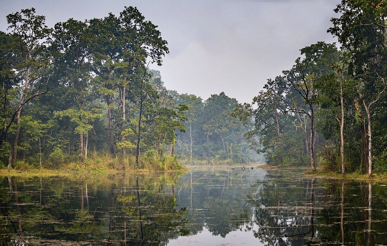
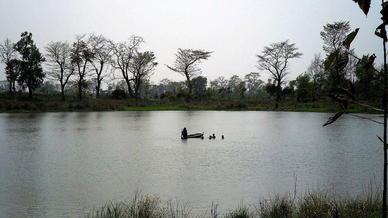
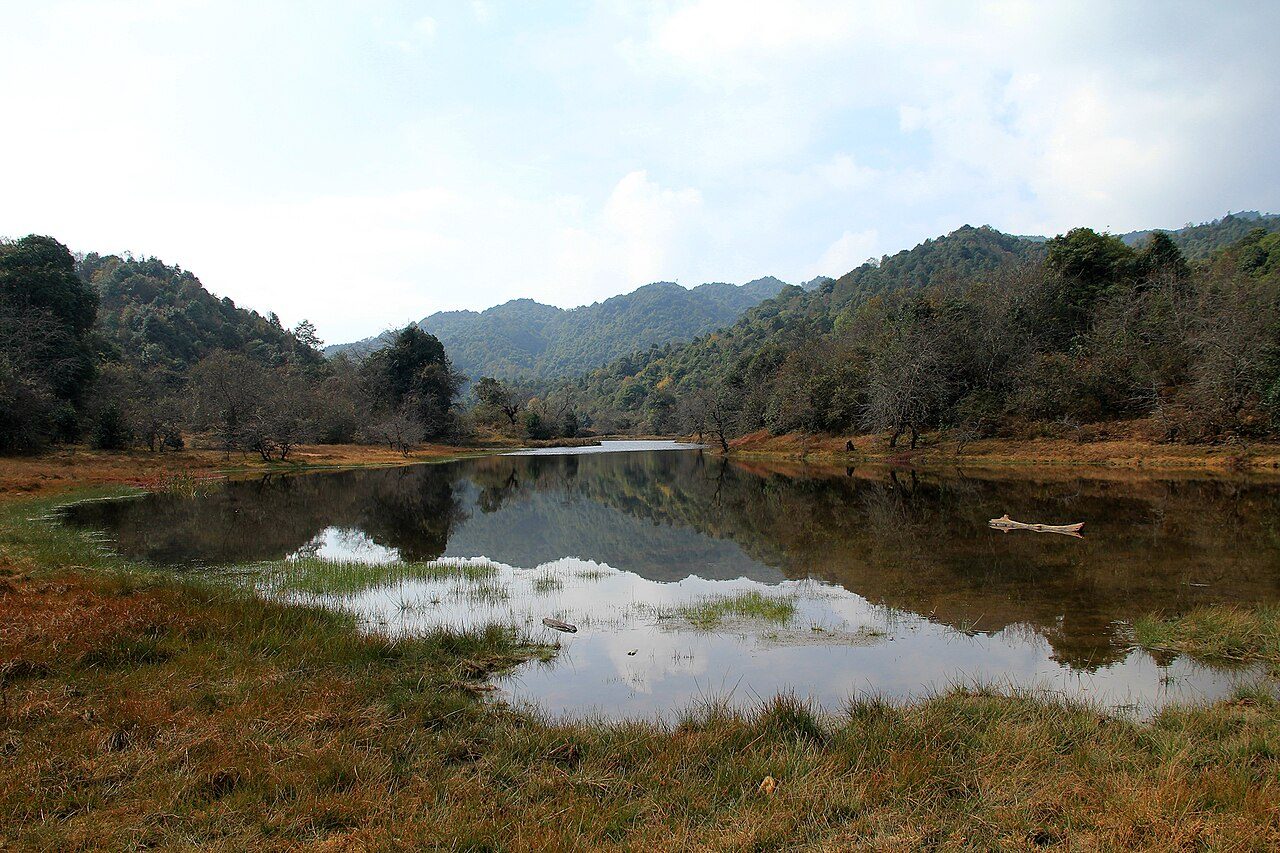
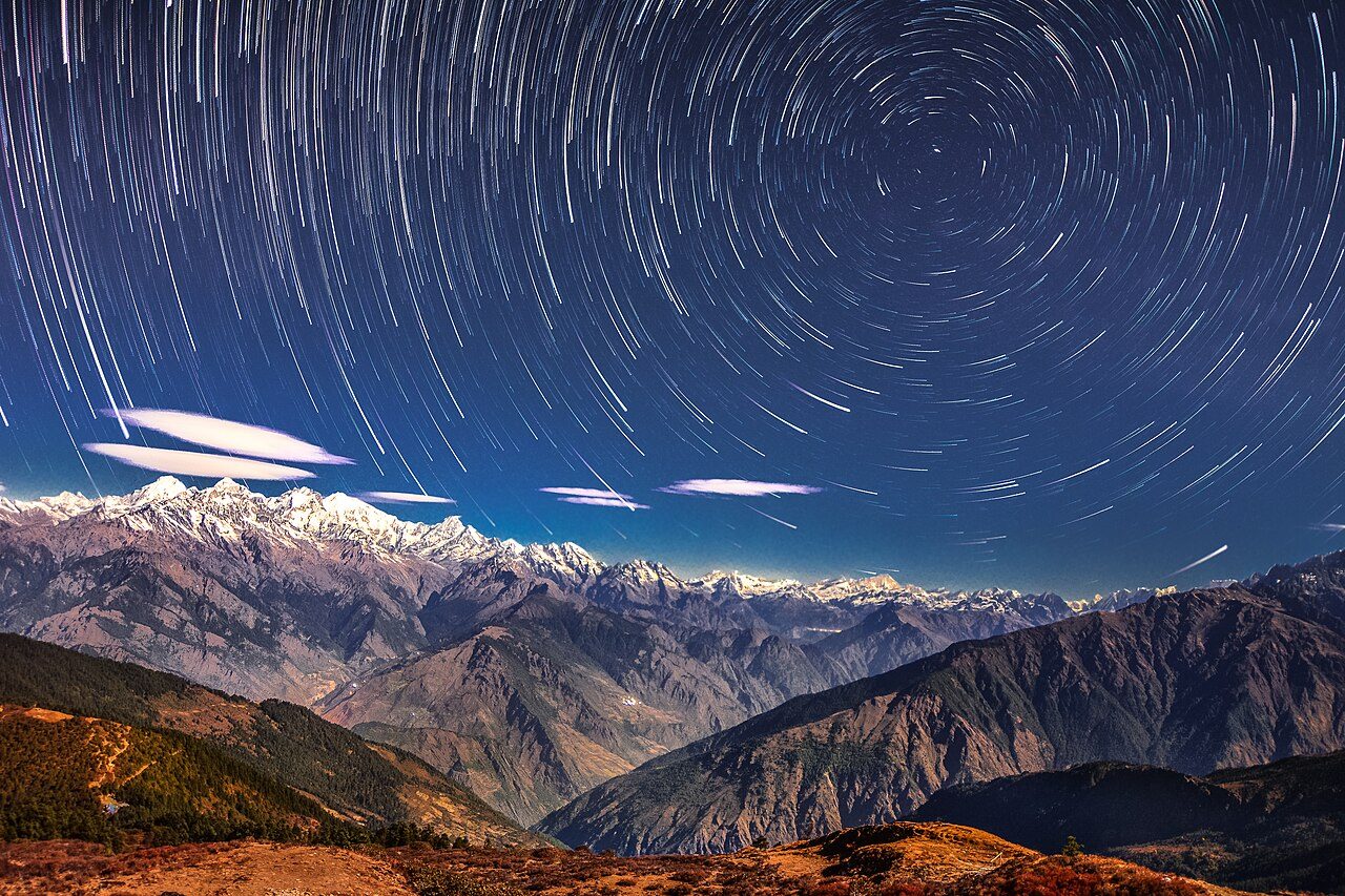
More parks in Nepal
Frequently asked questions
Where is Parsa National Park?
Parsa National Park is in Nepal (27.4667° N, 84.3333° E).
How big is Parsa National Park?
Parsa National Park covers 123,305 acres (49,900 ha).
Sources
- https://www.wikidata.org/wiki/Q4351857 — Wikidata (CC0) — name, country, coordinates, area, established year, highest point where stated.
- https://en.wikipedia.org/wiki/Parsa_National_Park — Wikipedia article — description (CC BY-SA).