
National Park · Brazil
Pico da Neblina National Park
Pico da Neblina National Park is a national park in Brazil, covering 5,556,490 acres (2,248,634 ha), established in 1979.
National Park · Brazil
No freely licensed photograph of this park is in our library yet — rather than borrow a picture of somewhere else, this profile leads with its verified facts.
Park facts
| Park type | National Park |
|---|---|
| Location | Brazil |
| Area | 5,556,490 acres (2,248,634 ha) |
| Established | 1979 |
| Coordinates | 0.3424° N, 65.9006° W |
Every fact above is taken from the sources listed below; anything no source states is left blank rather than guessed.
About Pico da Neblina National Park
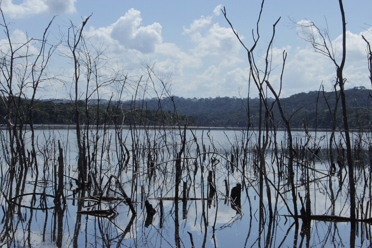
Pico da Neblina National Park (Portuguese: Parque Nacional do Pico da Neblina) is a national park in the state of Amazonas in the north of Brazil, bordering on Venezuela. It overlaps with several indigenous territories, which creates tensions over land use, as does the military presence due to the border location. The park includes lowlands around the Rio Negro, partly flooded, and mountains that include the highest peak in Brazil, after which the park is named. The wide variety of physical environments supports great biodiversity, including several endangered species.
Description from the park's Wikipedia article (CC BY-SA), linked in the sources below.
Airports near this park
The airports a visitor would actually fly into, nearest first — each link opens its profile on our sister site AirportProfiles.
- São Gabriel da Cachoeira Airport (SJL) · São Gabriel da Cachoeira, Brazil · 82.3 miles away
Parks nearby
Serranía La Neblina National Park
Serra do Aracá State Park
Parima-Tapirapecó National Park
Duida-Marahuaca National Park
Yapacana National Park
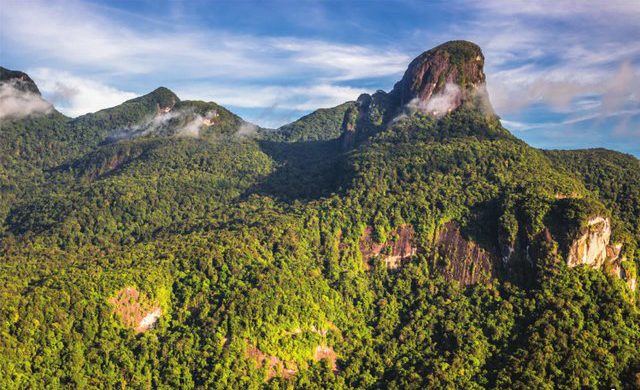
Serra da Mocidade National Park
More parks in Brazil
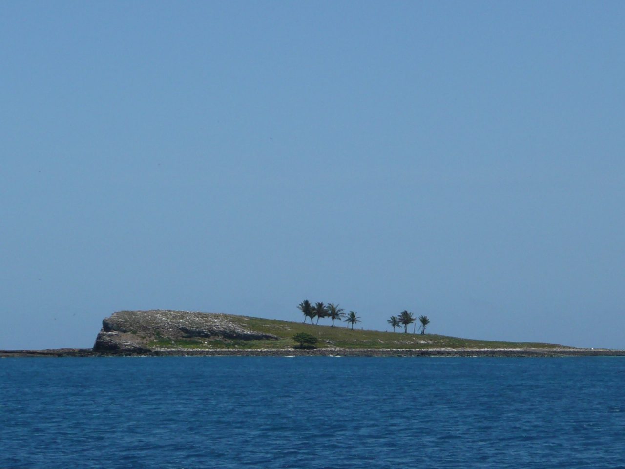
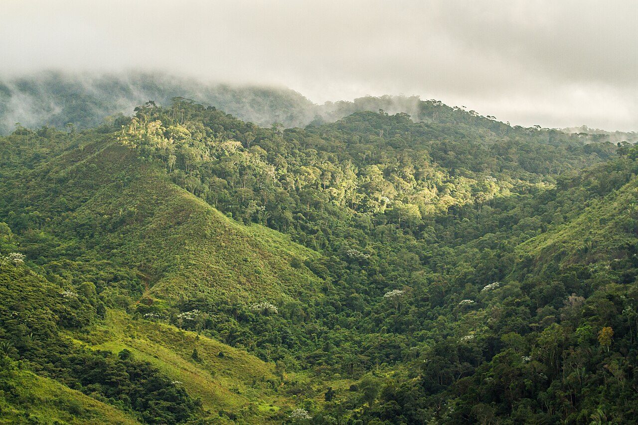
Frequently asked questions
Where is Pico da Neblina National Park?
Pico da Neblina National Park is in Brazil (0.3424° N, 65.9006° W).
When was Pico da Neblina National Park established?
Pico da Neblina National Park was established in 1979, per the source listed at the foot of this page.
How big is Pico da Neblina National Park?
Pico da Neblina National Park covers 5,556,490 acres (2,248,634 ha).
Sources
- https://www.wikidata.org/wiki/Q3179536 — Wikidata (CC0) — name, country, coordinates, area, established year, highest point where stated.
- https://en.wikipedia.org/wiki/Pico_da_Neblina_National_Park — Wikipedia article — description (CC BY-SA).