
National Lakeshore · Michigan, United States
Pictured Rocks National Lakeshore
Pictured Rocks National Lakeshore is a national lakeshore in Michigan, United States, covering 73,241 acres (29,640 ha).
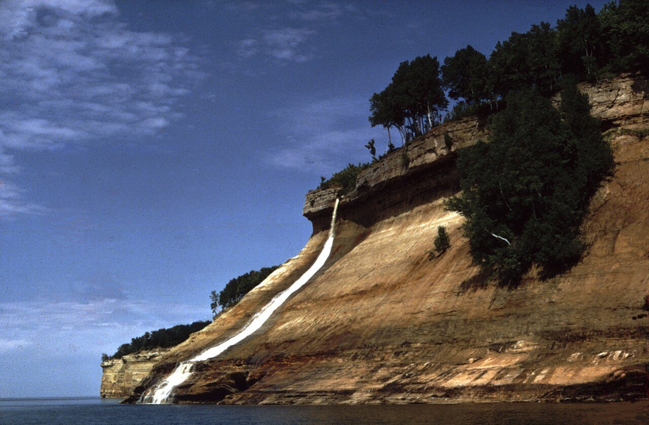
Photo: National Park Service via Wikimedia Commons, Public domain. Cropped and resized for display.
Park facts
| Park type | National Lakeshore |
|---|---|
| Location | Michigan, United States |
| Area | 73,241 acres (29,640 ha) |
| Coordinates | 46.5622° N, 86.3125° W |
| Managed by | National Park Service |
Every fact above is taken from the sources listed below; anything no source states is left blank rather than guessed.
About Pictured Rocks National Lakeshore
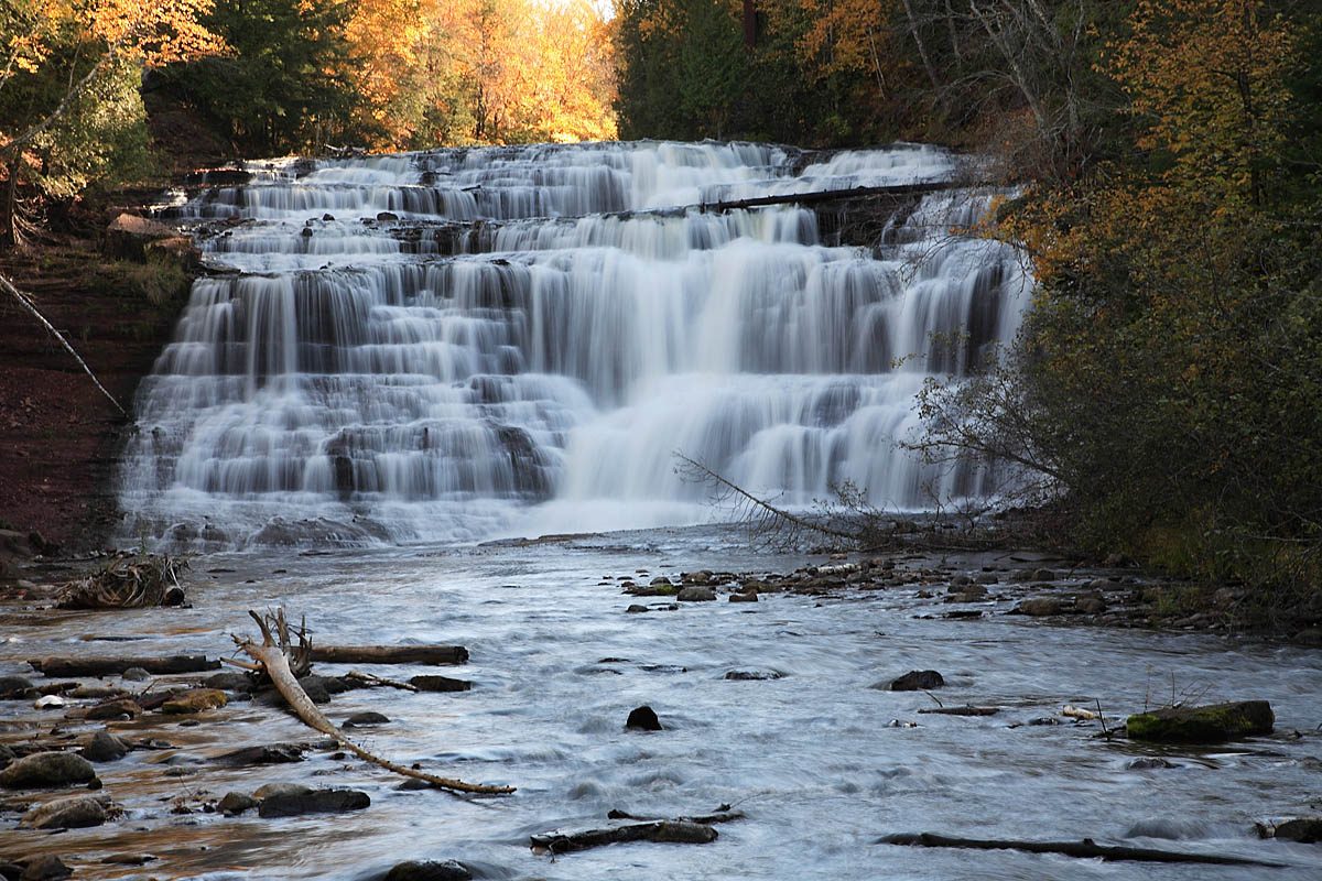
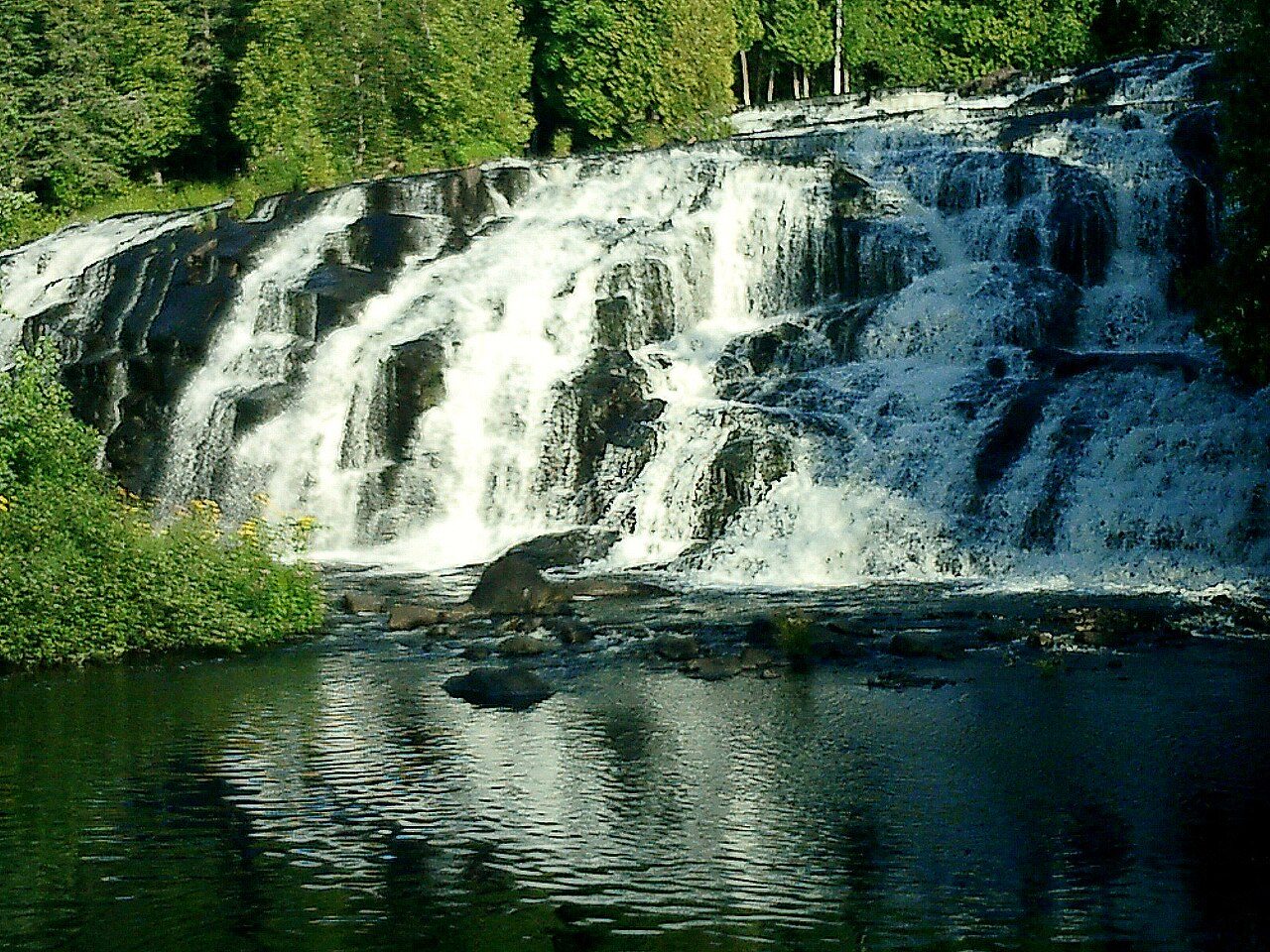
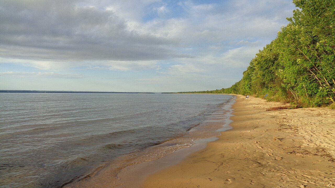
Pictured Rocks National Lakeshore is a U.S. National Lakeshore in the Upper Peninsula of Michigan, United States. It extends for 42 mi (68 km) along the shore of Lake Superior and covers 73,236 acres (114 sq mi; 296 km2). The park has extensive views of the hilly shoreline between Munising and Grand Marais in Alger County, with picturesque rock formations, waterfalls, and sand dunes. Pictured Rocks derives its name from the 13 miles (24 km) of colorful sandstone cliffs northeast of Munising. The cliffs reach up to 200 feet (60 m) above lake level.
Description from the park's Wikipedia article (CC BY-SA), linked in the sources below.
Planning your visit
What to do
Where to stay
| Campgrounds | Limited |
|---|
Like Pictured Rocks National Lakeshore? Visit Pictured Rocks National Lakeshore’s official park page for hours and current conditions before you travel.
Airports near this park
The airports a visitor would actually fly into, nearest first — each link opens its profile on our sister site AirportProfiles.
- Marquette Sawyer Regional Airport (MQT) · Gwinn, United States · 53.6 miles away
- Delta County Airport (ESC) · Escanaba, United States · 68.9 miles away
- Sault Ste Marie Airport (YAM) · Sault Ste Marie, Canada · 85.9 miles away
Parks nearby
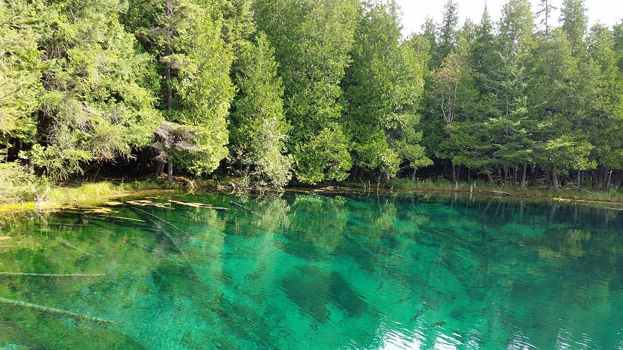
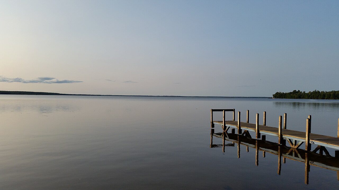
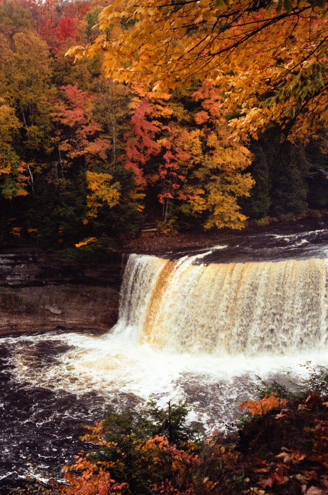
More parks in Michigan
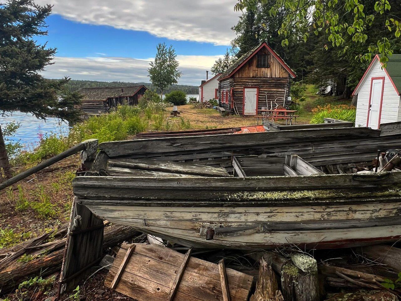

Frequently asked questions
Where is Pictured Rocks National Lakeshore?
Pictured Rocks National Lakeshore is in Michigan, United States (46.5622° N, 86.3125° W).
How big is Pictured Rocks National Lakeshore?
Pictured Rocks National Lakeshore covers 73,241 acres (29,640 ha).
Does Pictured Rocks National Lakeshore have campgrounds?
Yes, but campgrounds at Pictured Rocks National Lakeshore are limited.
Sources
- https://en.wikipedia.org/wiki/List_of_the_United_States_National_Park_System_official_units — Wikipedia list of National Park System official units — unit name, state, official designation.
- https://en.wikipedia.org/wiki/List_of_areas_in_the_United_States_National_Park_System — Wikipedia list of National Park System areas — year established and gross area.
- https://en.wikipedia.org/wiki/Pictured_Rocks_National_Lakeshore — Wikipedia article — description (CC BY-SA).
- https://www.nps.gov/piro/ — Official park page.