
National Park · Slovakia
Poloniny National Park
Poloniny National Park is a national park in Slovakia, covering 75,984 acres (30,750 ha), established in 1997.
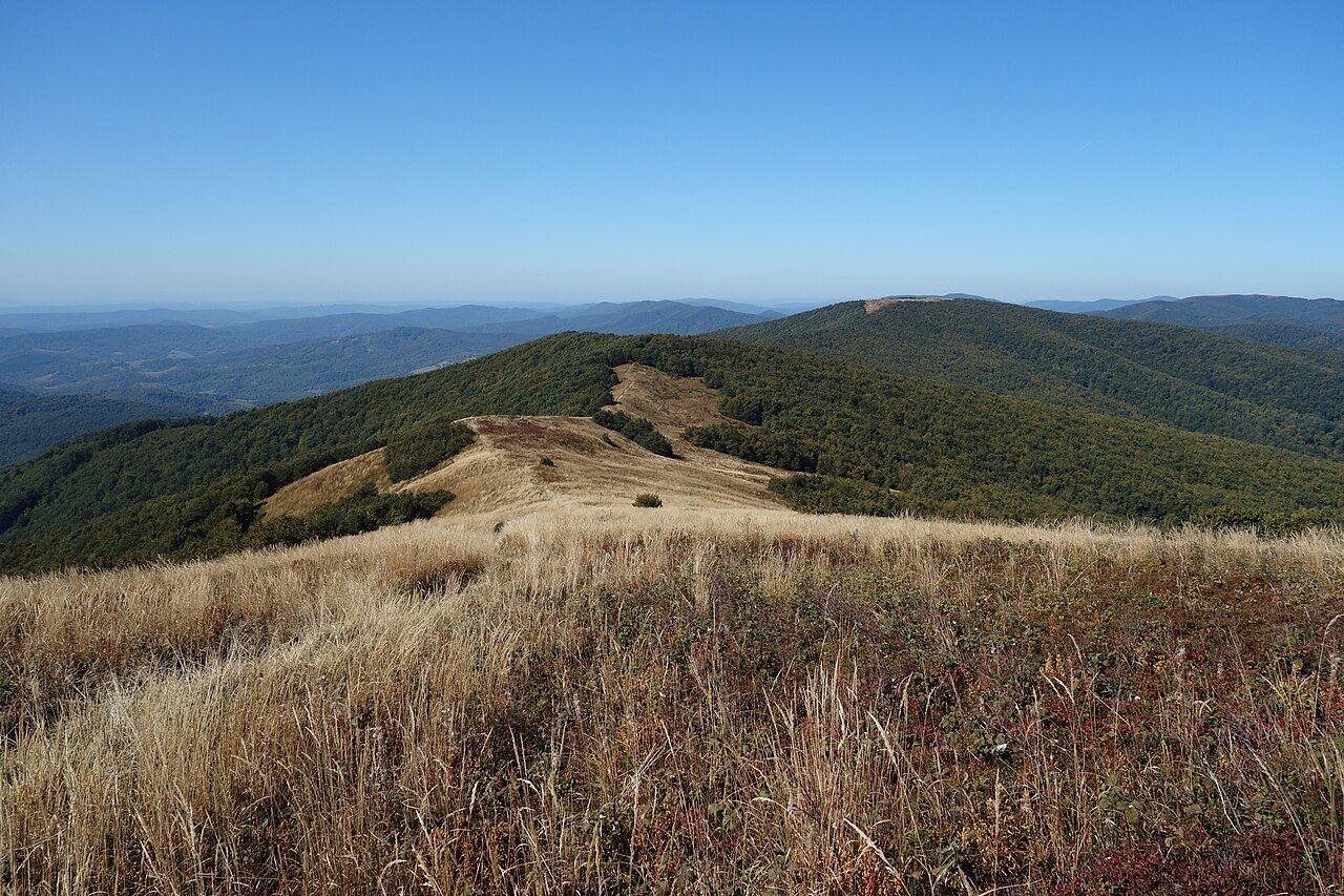
Photo: Milan Bališin via Wikimedia Commons, CC BY-SA 4.0. Cropped and resized for display.
Park facts
| Park type | National Park |
|---|---|
| Location | Slovakia |
| Area | 75,984 acres (30,750 ha) |
| Established | 1997 |
| Coordinates | 49.0714° N, 22.5336° E |
Every fact above is taken from the sources listed below; anything no source states is left blank rather than guessed.
About Poloniny National Park
Poloniny National Park (Slovak: Národný park Poloniny) is a national park in northeastern Slovakia at the Polish and Ukrainian borders, in the Bukovské vrchy mountain range, which belongs to the Eastern Carpathians. It was created on 1 October 1997 with a protected area of 298.05 km2 (115.08 sq mi) and a buffer zone of 109.73 km2 (42.37 sq mi). Selected areas of the park are included in the Primeval Beech Forests of the Carpathians UNESCO World Heritage Site.
Description from the park's Wikipedia article (CC BY-SA), linked in the sources below.
Airports near this park
The airports a visitor would actually fly into, nearest first — each link opens its profile on our sister site AirportProfiles.
- Rzeszów-Jasionka Airport (RZE) · Jasionka, Poland · 75.3 miles away
- Debrecen International Airport (DEB) · Debrecen, Hungary · 117.2 miles away
- Kraków John Paul II International Airport (KRK) · Balice, Poland · 141.4 miles away
Parks nearby
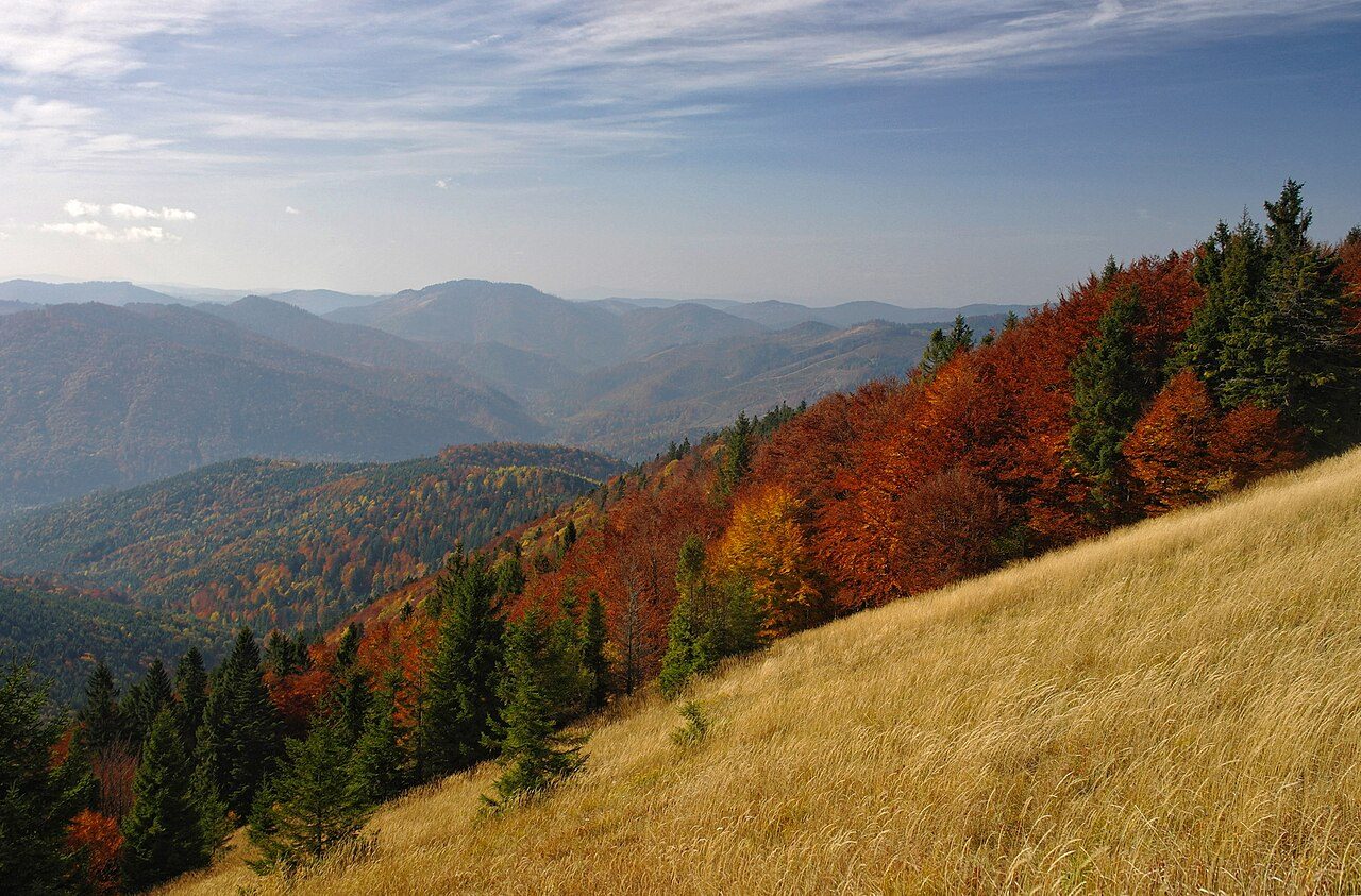
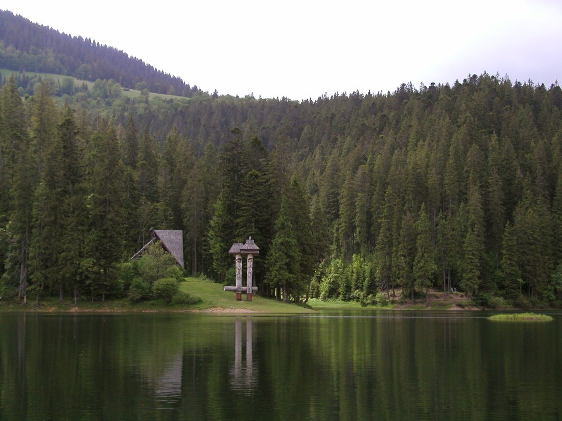

More parks in Slovakia
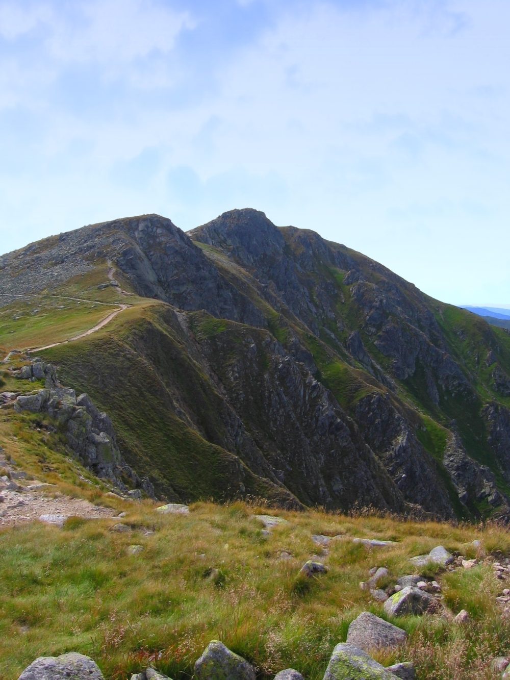
Low Tatras National Park
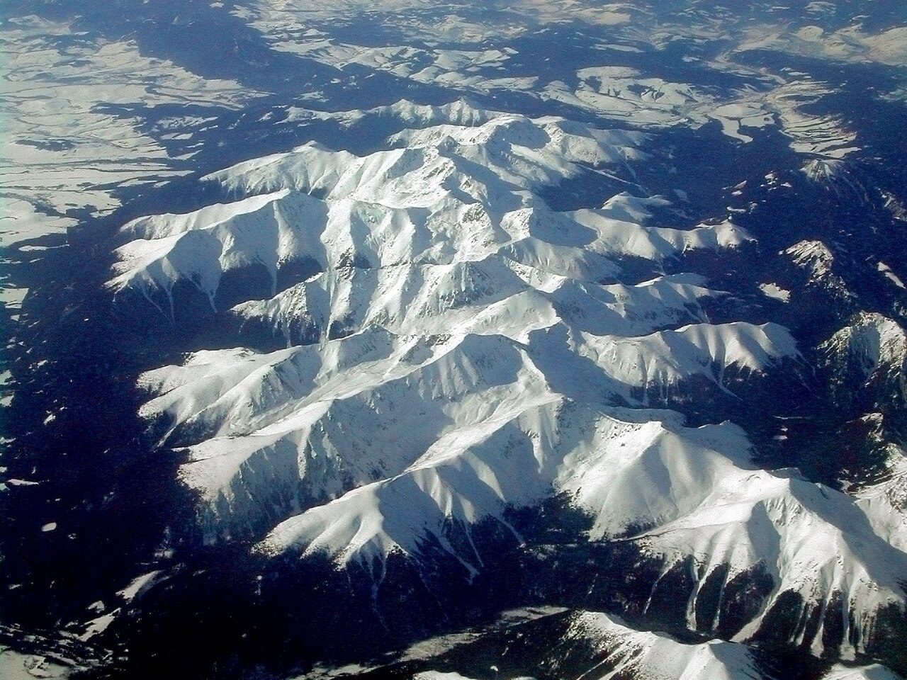
Tatra National Park
Malá Fatra National Park
Muránska planina National Park
Pieniny National Park
Slovak Karst National Park
Slovak Paradise National Park
Veľká Fatra National Park
Frequently asked questions
Where is Poloniny National Park?
Poloniny National Park is in Slovakia (49.0714° N, 22.5336° E).
When was Poloniny National Park established?
Poloniny National Park was established in 1997, per the source listed at the foot of this page.
How big is Poloniny National Park?
Poloniny National Park covers 75,984 acres (30,750 ha).
Sources
- https://www.wikidata.org/wiki/Q607612 — Wikidata (CC0) — name, country, coordinates, area, established year, highest point where stated.
- https://en.wikipedia.org/wiki/Poloniny_National_Park — Wikipedia article — description (CC BY-SA).