
National Park · United Kingdom
Sage Mountain National Park
Sage Mountain National Park is a national park in United Kingdom, covering 86.0 acres (34.8 ha), established in 1964.
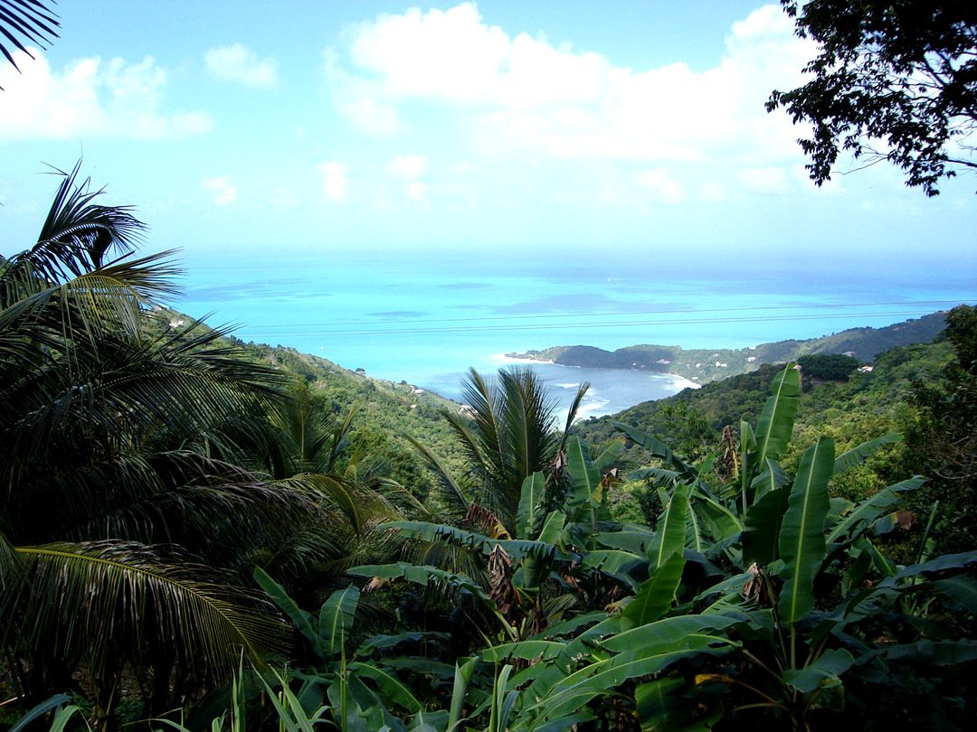
Photo: Photo: Henry A-W ( Henry aw 23:34, 10 July 2006 (UTC)) via Wikimedia Commons, CC BY-SA 2.5. Cropped and resized for display.
Park facts
| Park type | National Park |
|---|---|
| Location | United Kingdom |
| Area | 86.0 acres (34.8 ha) |
| Established | 1964 |
| Coordinates | 18.4000° N, 64.6500° W |
Every fact above is taken from the sources listed below; anything no source states is left blank rather than guessed.
About Sage Mountain National Park
Sage Mountain National Park is a protected area of the British Virgin Islands. It is named after the highest peak of the island of Tortola, Mount Sage. The Mount Sage volcanic peak rises to a height of 1,716 feet (523 m), and is thus the highest point in all of the Virgin Islands. The park is located to the southwest of the island group's capital, Road Town. The park, which includes the mountain range, extends over an area of 96 acres (39 ha). The vegetation is of semi-rain forest type. There are many trails for trekking and hiking.
Description from the park's Wikipedia article (CC BY-SA), linked in the sources below.
Planning your visit
What to do
Airports near this park
The airports a visitor would actually fly into, nearest first — each link opens its profile on our sister site AirportProfiles.
- Terrance B. Lettsome International Airport (EIS) · Beef Island, British Virgin Islands · 7.8 miles away
- Cyril E. King Airport (STT) · Charlotte Amalie, U.S. Virgin Islands · 21.9 miles away
- Luis Munoz Marin International Airport (SJU) · San Juan, Puerto Rico · 88.7 miles away
Parks nearby
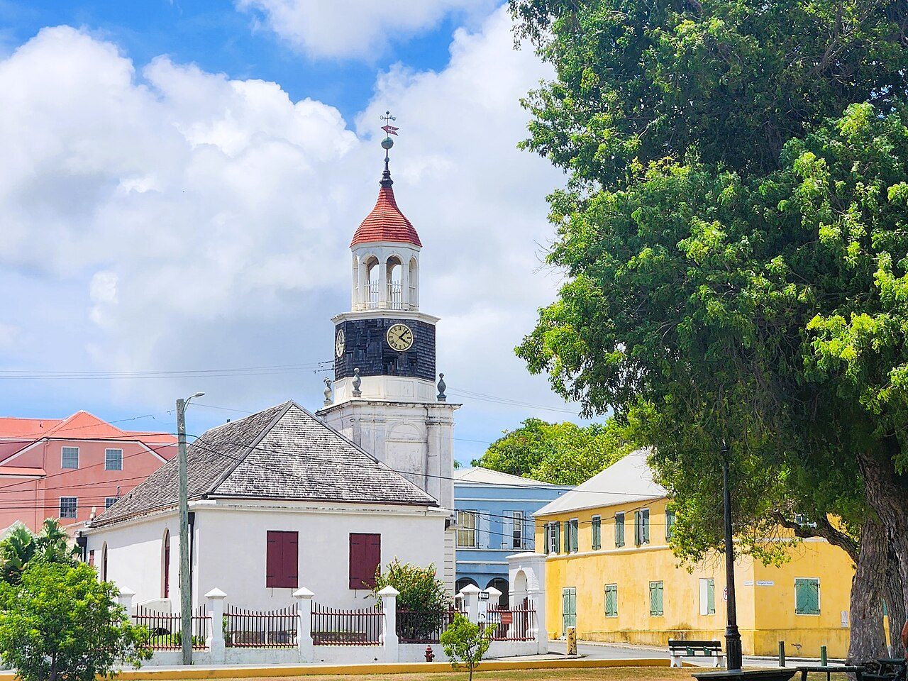
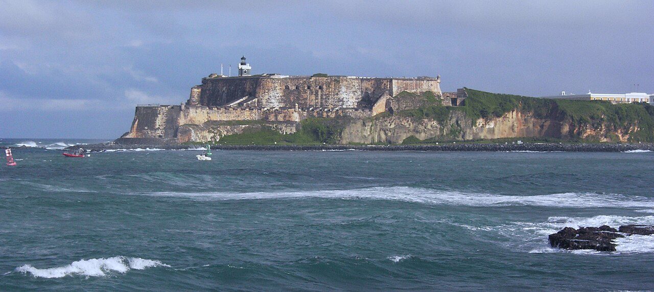
More parks in United Kingdom
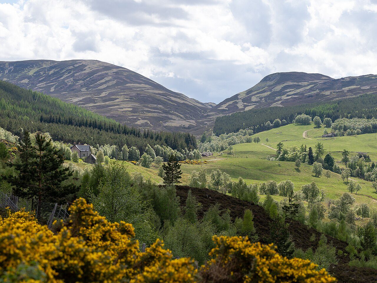
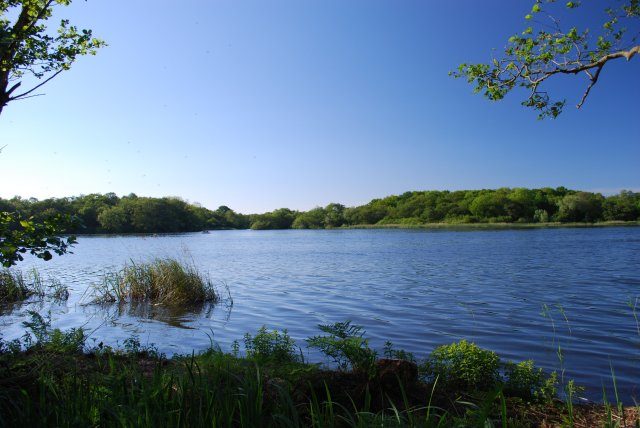

Frequently asked questions
Where is Sage Mountain National Park?
Sage Mountain National Park is in United Kingdom (18.4000° N, 64.6500° W).
When was Sage Mountain National Park established?
Sage Mountain National Park was established in 1964, per the source listed at the foot of this page.
How big is Sage Mountain National Park?
Sage Mountain National Park covers 86.0 acres (34.8 ha).
Sources
- https://www.wikidata.org/wiki/Q54976435 — Wikidata (CC0) — name, country, coordinates, area, established year, highest point where stated.
- https://en.wikipedia.org/wiki/Mount_Sage_National_Park — Wikipedia article — description (CC BY-SA).