
National Wild and Scenic River · Wisconsin, United States
Saint Croix National Scenic Riverway
Saint Croix National Scenic Riverway is a national wild and scenic river in Wisconsin, United States, covering 68,739 acres (27,818 ha), established in 1968.
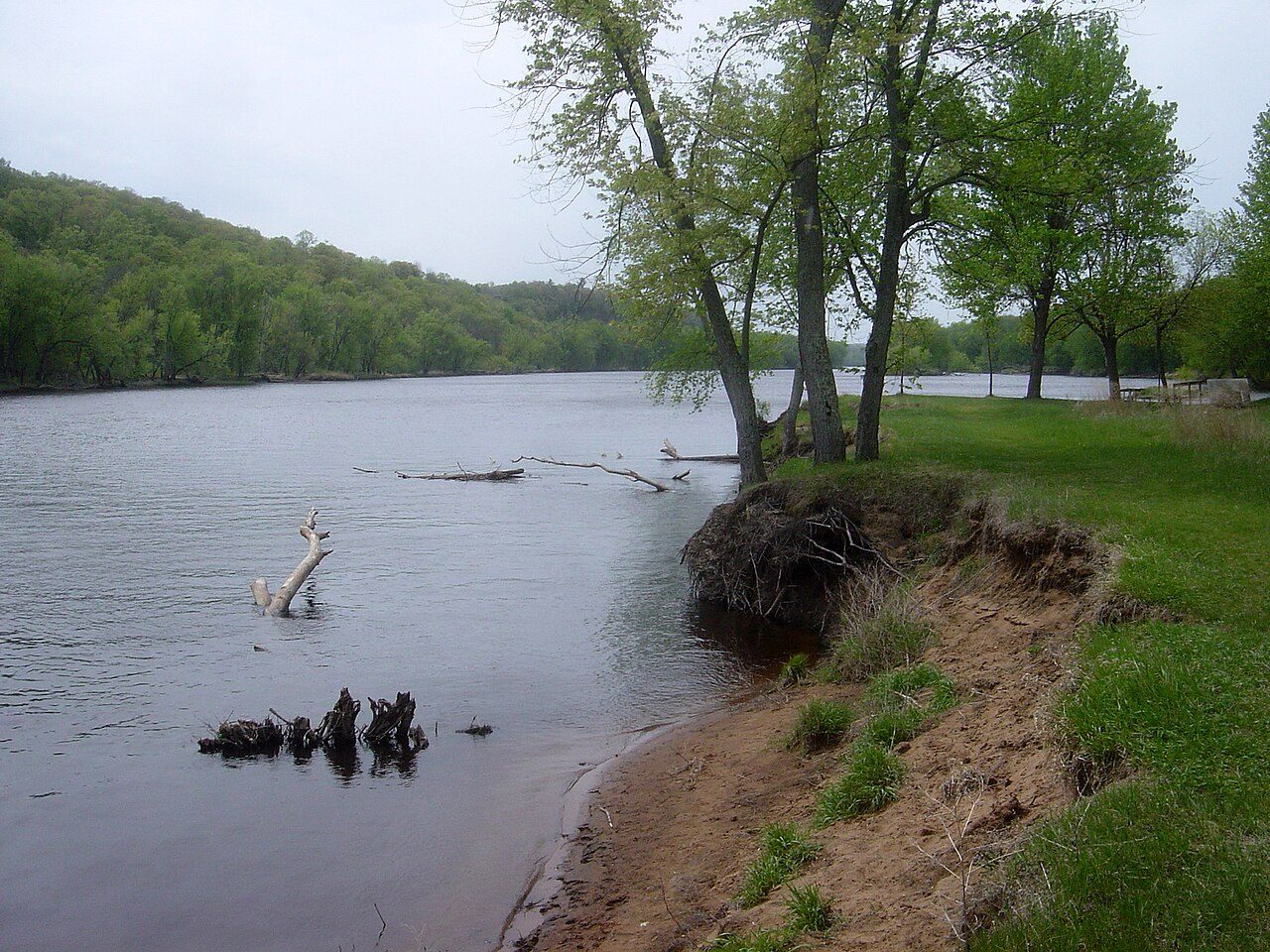
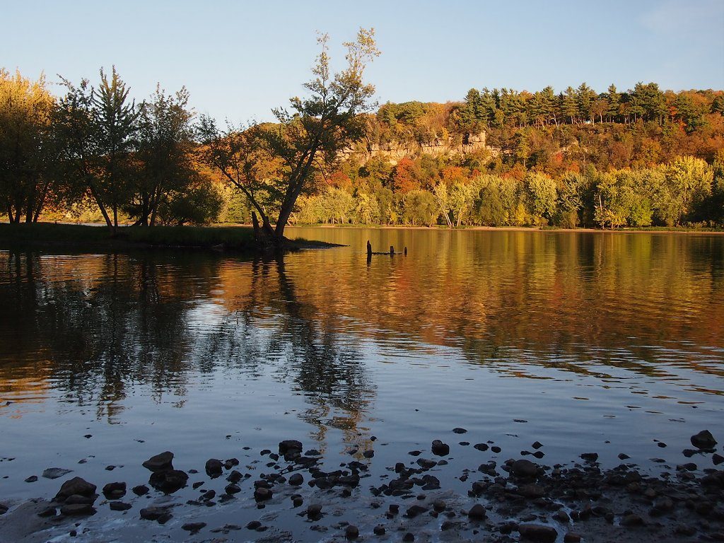
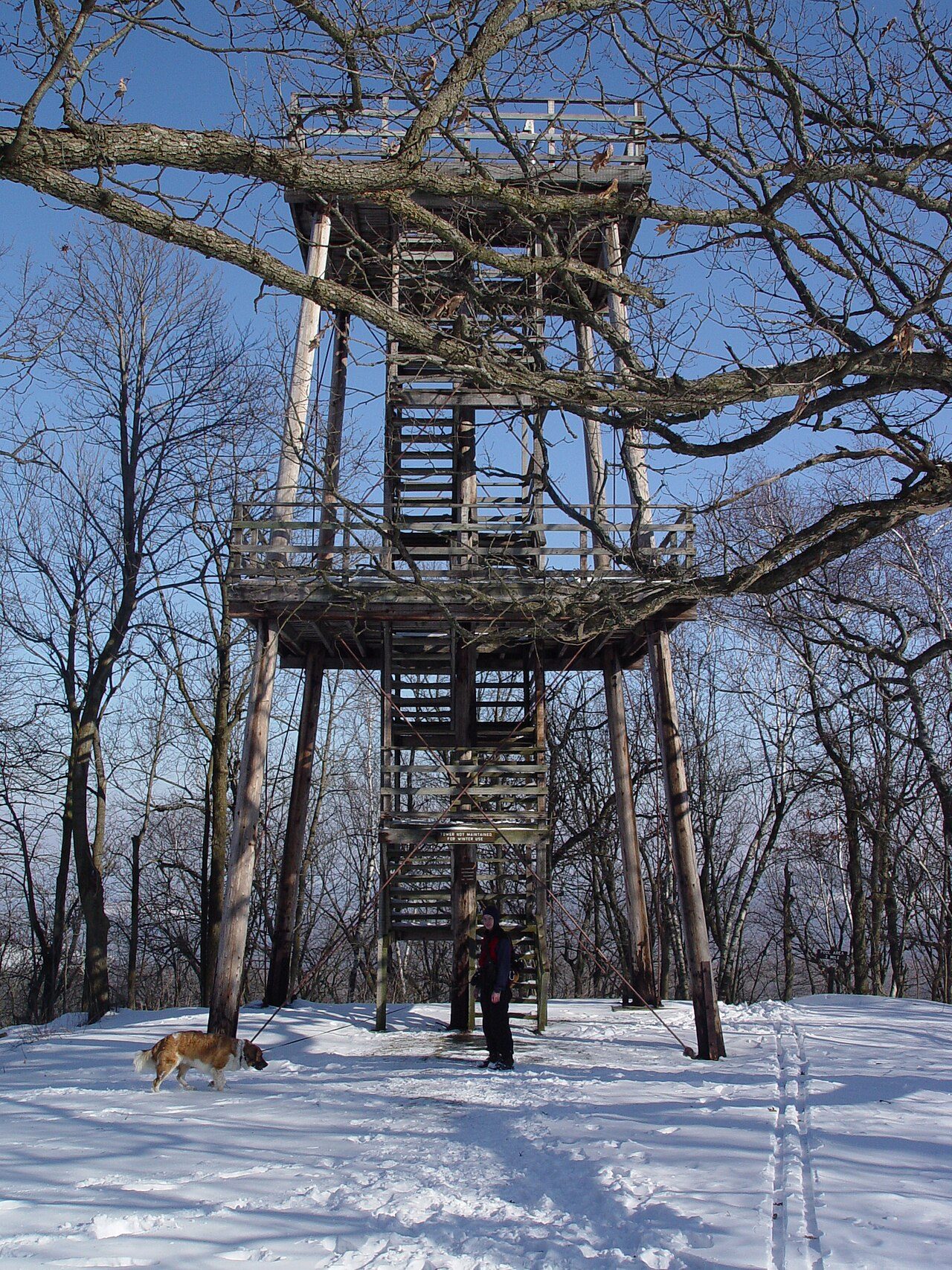
Photo: Bobak Ha'Eri via Wikimedia Commons, CC BY 3.0. Cropped and resized for display.
Park facts
| Park type | National Wild and Scenic River |
|---|---|
| Location | Wisconsin, United States |
| Area | 68,739 acres (27,818 ha) |
| Established | 1968 |
| Coordinates | 45.3892° N, 92.6575° W |
| Managed by | National Park Service |
Every fact above is taken from the sources listed below; anything no source states is left blank rather than guessed.
About Saint Croix National Scenic Riverway
The Saint Croix National Scenic Riverway is a federally protected system of riverways located in eastern Minnesota and northwestern Wisconsin. It protects 252 miles (406 km) of river, including the St. Croix River (on the Wisconsin/Minnesota border), and the Namekagon River (in Wisconsin), as well as adjacent land along the rivers. The St. Croix National Scenic Riverway is one of the original eight National Wild and Scenic Rivers, largely as a result of legislation by senators Walter Mondale of Minnesota and Gaylord Nelson of Wisconsin.
Description from the park's Wikipedia article (CC BY-SA), linked in the sources below.
Planning your visit
What to do
Where to stay
| Campgrounds | Limited |
|---|
Like Saint Croix National Scenic Riverway? Visit Saint Croix National Scenic Riverway’s official park page for hours and current conditions before you travel.
Airports near this park
The airports a visitor would actually fly into, nearest first — each link opens its profile on our sister site AirportProfiles.
- Minneapolis–Saint Paul International Airport / Wold–Chamberlain Field (MSP) · Minneapolis, United States · 44.6 miles away
Parks nearby
More parks in Wisconsin

Frequently asked questions
Where is Saint Croix National Scenic Riverway?
Saint Croix National Scenic Riverway is in Wisconsin, United States (45.3892° N, 92.6575° W).
When was Saint Croix National Scenic Riverway established?
Saint Croix National Scenic Riverway was established in 1968, per the source listed at the foot of this page.
How big is Saint Croix National Scenic Riverway?
Saint Croix National Scenic Riverway covers 68,739 acres (27,818 ha).
Does Saint Croix National Scenic Riverway have campgrounds?
Yes, but campgrounds at Saint Croix National Scenic Riverway are limited.
Sources
- https://en.wikipedia.org/wiki/List_of_the_United_States_National_Park_System_official_units — Wikipedia list of National Park System official units — unit name, state, official designation.
- https://en.wikipedia.org/wiki/List_of_areas_in_the_United_States_National_Park_System — Wikipedia list of National Park System areas — year established and gross area.
- https://en.wikipedia.org/wiki/Saint_Croix_National_Scenic_Riverway — Wikipedia article — description (CC BY-SA).
- https://www.nps.gov/sacn/ — Official park page.