
National Park · Russia
Samarskaya Luka National Park
Samarskaya Luka National Park is a national park in Russia, covering 331,121 acres (134,000 ha), established in 1984.
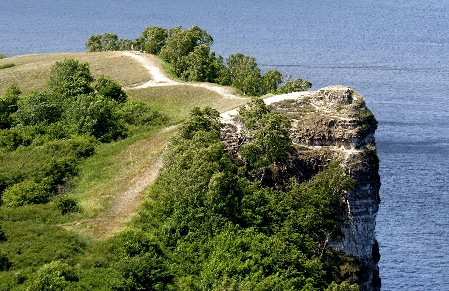
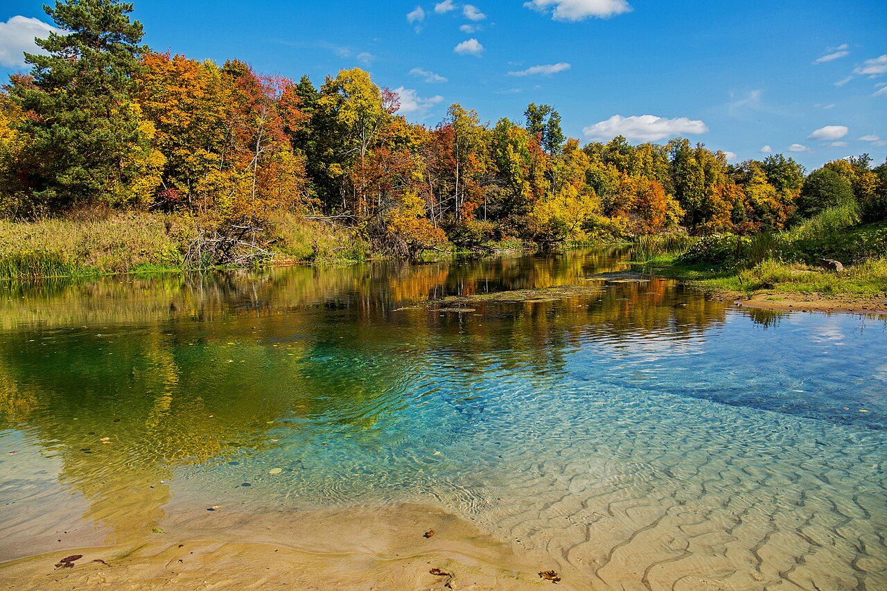
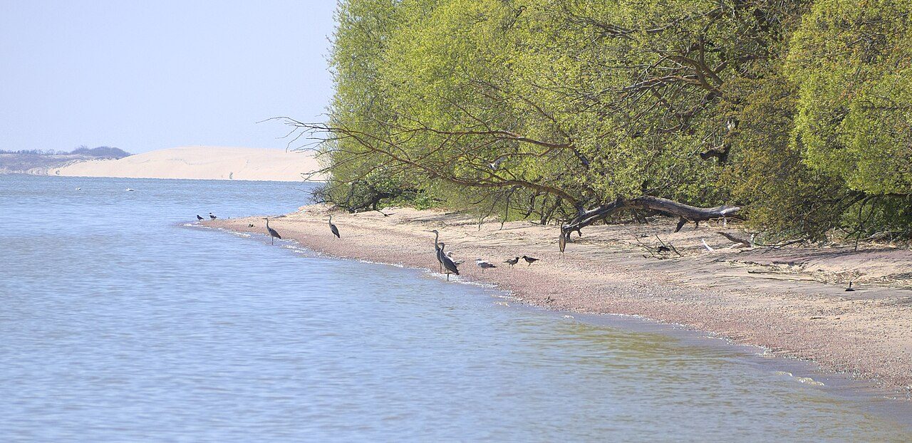
Photo: Вадим Кондратьев via Wikimedia Commons, CC BY-SA 3.0. Cropped and resized for display.
Park facts
| Park type | National Park |
|---|---|
| Location | Russia |
| Area | 331,121 acres (134,000 ha) |
| Established | 1984 |
| Coordinates | 53.3075° N, 49.8303° E |
Every fact above is taken from the sources listed below; anything no source states is left blank rather than guessed.
About Samarskaya Luka National Park
The Samarskaya Luka National Park (Russian: Национальный парк "Самарская Лука", lit. 'Samara Bend national park') covers most of the peninsula formed by the 180-degree bend of the Volga River as it flows around the Zhiguli Mountains, near the cities of Samara and Zhigulyovsk in the Stavropolsky District, Samara Oblast. The north shore of the bend is on the Kuybyshev Reservoir, the south side is on the Saratov Reservoir, and on the north it has a border with Zhiguli Nature Reserve.
Description from the park's Wikipedia article (CC BY-SA), linked in the sources below.
Airports near this park
The airports a visitor would actually fly into, nearest first — each link opens its profile on our sister site AirportProfiles.
- Kurumoch International Airport (KUF) · Samara, Russia · 19.4 miles away
Parks nearby
More parks in Russia

Frequently asked questions
Where is Samarskaya Luka National Park?
Samarskaya Luka National Park is in Russia (53.3075° N, 49.8303° E).
When was Samarskaya Luka National Park established?
Samarskaya Luka National Park was established in 1984, per the source listed at the foot of this page.
How big is Samarskaya Luka National Park?
Samarskaya Luka National Park covers 331,121 acres (134,000 ha).
Sources
- https://www.wikidata.org/wiki/Q4406360 — Wikidata (CC0) — name, country, coordinates, area, established year, highest point where stated.
- https://en.wikipedia.org/wiki/Samarskaya_Luka_National_Park — Wikipedia article — description (CC BY-SA).