
State Park · Missouri, United States
Shepherd of the Hills State Park
Shepherd of the Hills State Park is a state park in Missouri, United States, covering 1,011 acres (409 ha), established in 2016.
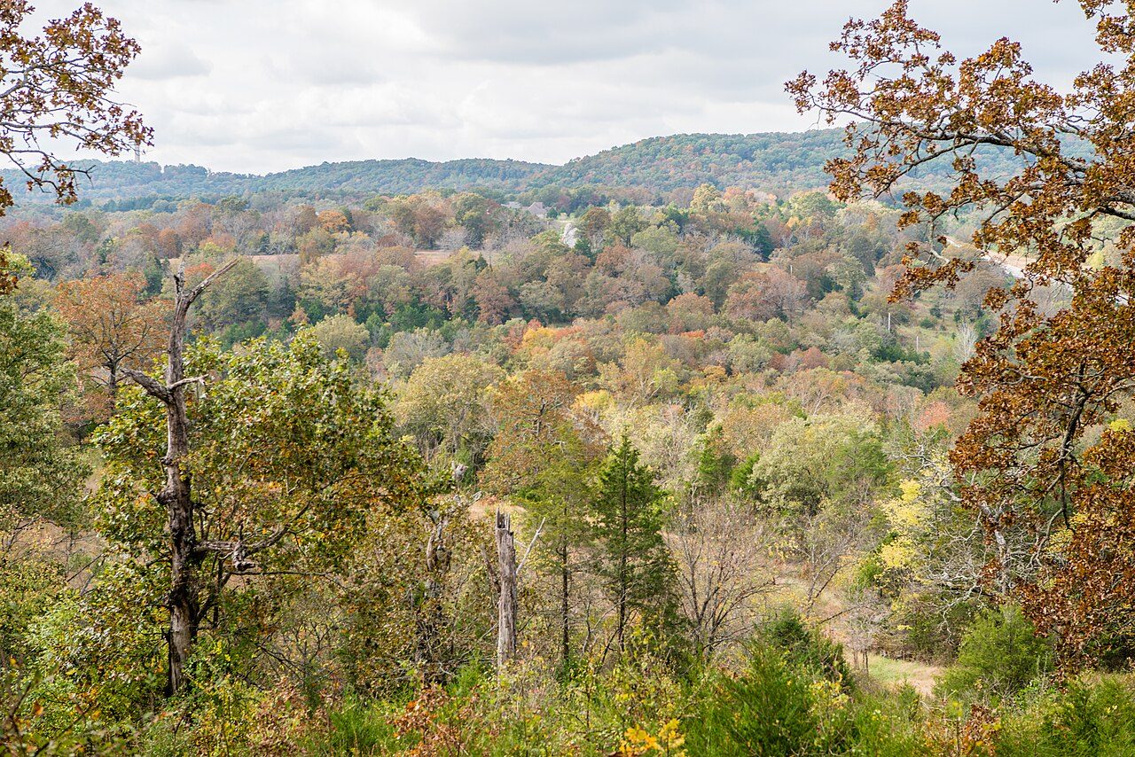
Photo: mostateparks via Wikimedia Commons, Public domain. Cropped and resized for display.
Park facts
| Park type | State Park |
|---|---|
| Location | Taney, Missouri, United States |
| Area | 1,011 acres (409 ha) |
| Established | 2016 |
| Coordinates | 36.6917° N, 93.3019° W |
| Managed by | Missouri state park system |
Every fact above is taken from the sources listed below; anything no source states is left blank rather than guessed.
About Shepherd of the Hills State Park
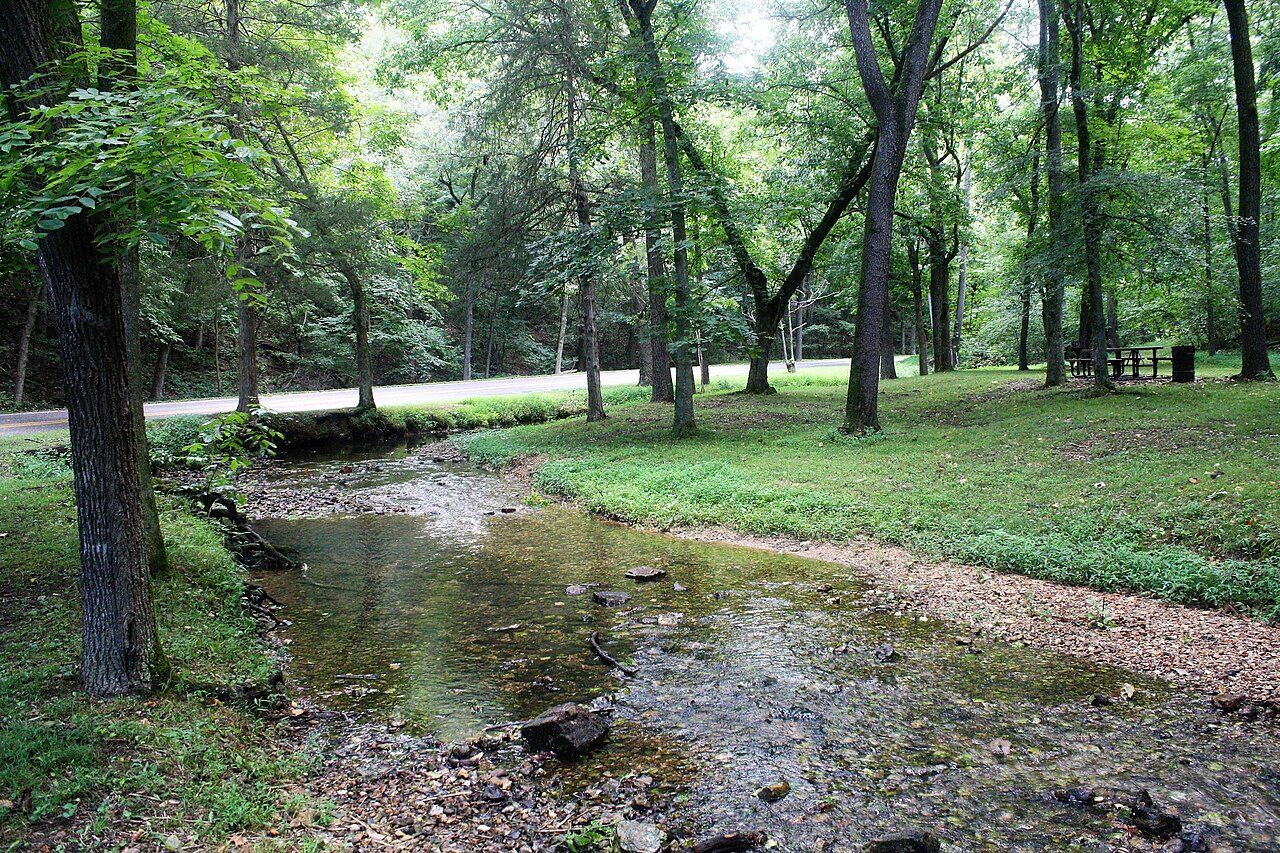
Shepherd of the Hills State Park is an undeveloped public recreation area covering 1,011 acres (409 ha) in Taney County, Missouri. The state park is closed pending public input on future uses of the land. It was one of three new parks announced by Governor Jay Nixon in December 2016. It shares a border with the Ruth and Paul Henning Conservation Area and is traversed by more than two miles of Roark Creek, including a stretch of the three-mile-long East Fork Roark Creek. The site includes a one-room schoolhouse that served the former community of Garber.
Description from the park's Wikipedia article (CC BY-SA), linked in the sources below.
Airports near this park
The airports a visitor would actually fly into, nearest first — each link opens its profile on our sister site AirportProfiles.
- Tulsa International Airport (TUL) · Tulsa, United States · 147.6 miles away
Parks nearby

More parks in Missouri






Frequently asked questions
Where is Shepherd of the Hills State Park?
Shepherd of the Hills State Park is in Missouri, United States (36.6917° N, 93.3019° W).
When was Shepherd of the Hills State Park established?
Shepherd of the Hills State Park was established in 2016, per the source listed at the foot of this page.
How big is Shepherd of the Hills State Park?
Shepherd of the Hills State Park covers 1,011 acres (409 ha).
Sources
- https://en.wikipedia.org/wiki/List_of_Missouri_state_parks — Wikipedia list of Missouri state parks — park name, county/location, size, year where the table states them.
- https://en.wikipedia.org/wiki/Shepherd_of_the_Hills_State_Park — Wikipedia article — description (CC BY-SA).