
National Park · Nepal
Shuklaphanta National Park
Shuklaphanta National Park is a national park in Nepal, covering 75,367 acres (30,500 ha).
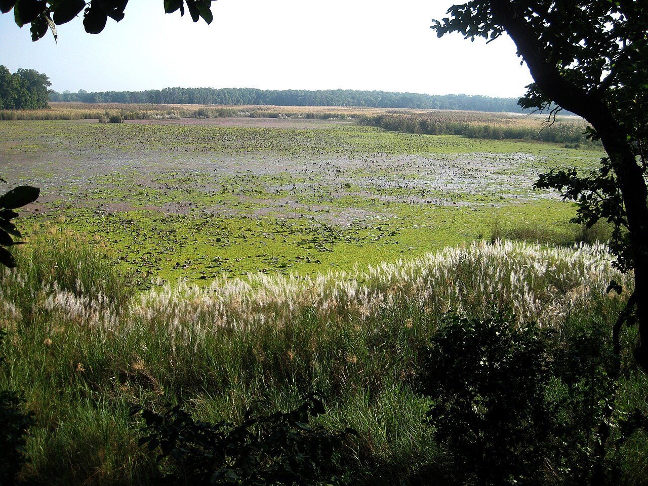
Photo: Ganesh Paudel via Wikimedia Commons, CC BY-SA 3.0. Cropped and resized for display.
Park facts
| Park type | National Park |
|---|---|
| Location | Nepal |
| Area | 75,367 acres (30,500 ha) |
| Coordinates | 28.8402° N, 80.2290° E |
Every fact above is taken from the sources listed below; anything no source states is left blank rather than guessed.
About Shuklaphanta National Park
Shuklaphanta National Park is a national park in the Terai of the Far-Western Region, Nepal, covering 305 km2 (118 sq mi) of open grasslands, forests, riverbeds and wetlands at an elevation of 174 to 1,386 m (571 to 4,547 ft). It is bounded by the Mahakali river in the west and south. A small part extends north of the Mahendra Highway to create a wildlife corridor for seasonal migration of wildlife into the Sivalik Hills. It was gazetted in 1976 as Royal Shuklaphanta Wildlife Reserve and was enlarged to its present size in the late 1980s. A buffer zone of 243.5 km2 (94.0 sq mi) was added in 2004.
Description from the park's Wikipedia article (CC BY-SA), linked in the sources below.
Airports near this park
The airports a visitor would actually fly into, nearest first — each link opens its profile on our sister site AirportProfiles.
- Chaudhary Charan Singh International Airport (LKO) · Lucknow, India · 149.2 miles away
Parks nearby
More parks in Nepal

Frequently asked questions
Where is Shuklaphanta National Park?
Shuklaphanta National Park is in Nepal (28.8402° N, 80.2290° E).
How big is Shuklaphanta National Park?
Shuklaphanta National Park covers 75,367 acres (30,500 ha).
Sources
- https://www.wikidata.org/wiki/Q1573525 — Wikidata (CC0) — name, country, coordinates, area, established year, highest point where stated.
- https://en.wikipedia.org/wiki/Shuklaphanta_National_Park — Wikipedia article — description (CC BY-SA).