
National Park · Venezuela
Sierra La Culata National Park
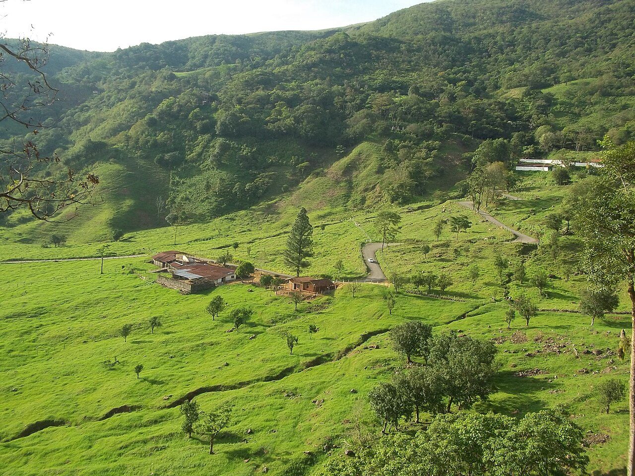
Sierra La Culata National Park is a national park in Venezuela.
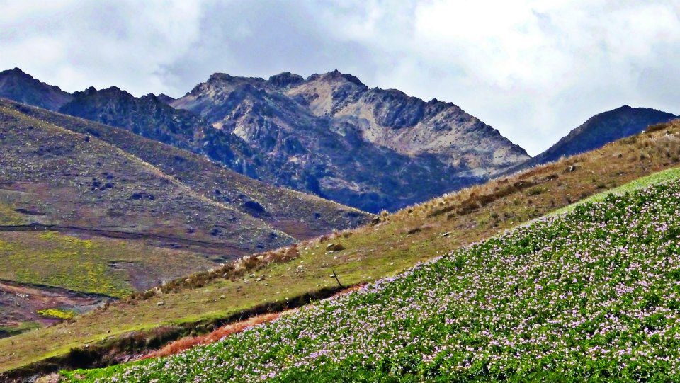
Photo: Gabriel Alejandro S. Dávila via Wikimedia Commons, CC BY-SA 3.0. Cropped and resized for display.
Park facts
| Park type | National Park |
|---|---|
| Location | Venezuela |
| Coordinates | 8.8159° N, 70.9744° W |
Every fact above is taken from the sources listed below; anything no source states is left blank rather than guessed.
About Sierra La Culata National Park
The Sierra La Culata National Park (Spanish: Parque nacional Sierra de La Culata) Also Sierra de la Culata National Park is a national park of Venezuela that is located in the northeastern branch of the Venezuelan Andes, in the states Mérida and Trujillo. It was decreed a national park on December 7, 1989. It has a high mountain climate, with temperatures ranging between −2 and 24 °C (28 and 75 °F), and its surface area is 200,400 hectares (774 sq mi). The vegetation is characterized by the presence of numerous species of frailejones, shrubs such as ericaceae and melastomataceae; ferns and numerous mosses, liver lichens and fungi.
Description from the park's Wikipedia article (CC BY-SA), linked in the sources below.
Airports near this park
The airports a visitor would actually fly into, nearest first — each link opens its profile on our sister site AirportProfiles.
- La Chinita International Airport (MAR) · Maracaibo, Venezuela · 130.9 miles away
- Jacinto Lara International Airport (BRM) · Barquisimeto, Venezuela · 139.0 miles away
Parks nearby
More parks in Venezuela

Frequently asked questions
Where is Sierra La Culata National Park?
Sierra La Culata National Park is in Venezuela (8.8159° N, 70.9744° W).
Sources
- https://www.wikidata.org/wiki/Q3364430 — Wikidata (CC0) — name, country, coordinates, area, established year, highest point where stated.
- https://en.wikipedia.org/wiki/Sierra_La_Culata_National_Park — Wikipedia article — description (CC BY-SA).