
National Park · Italy
Sila National Park
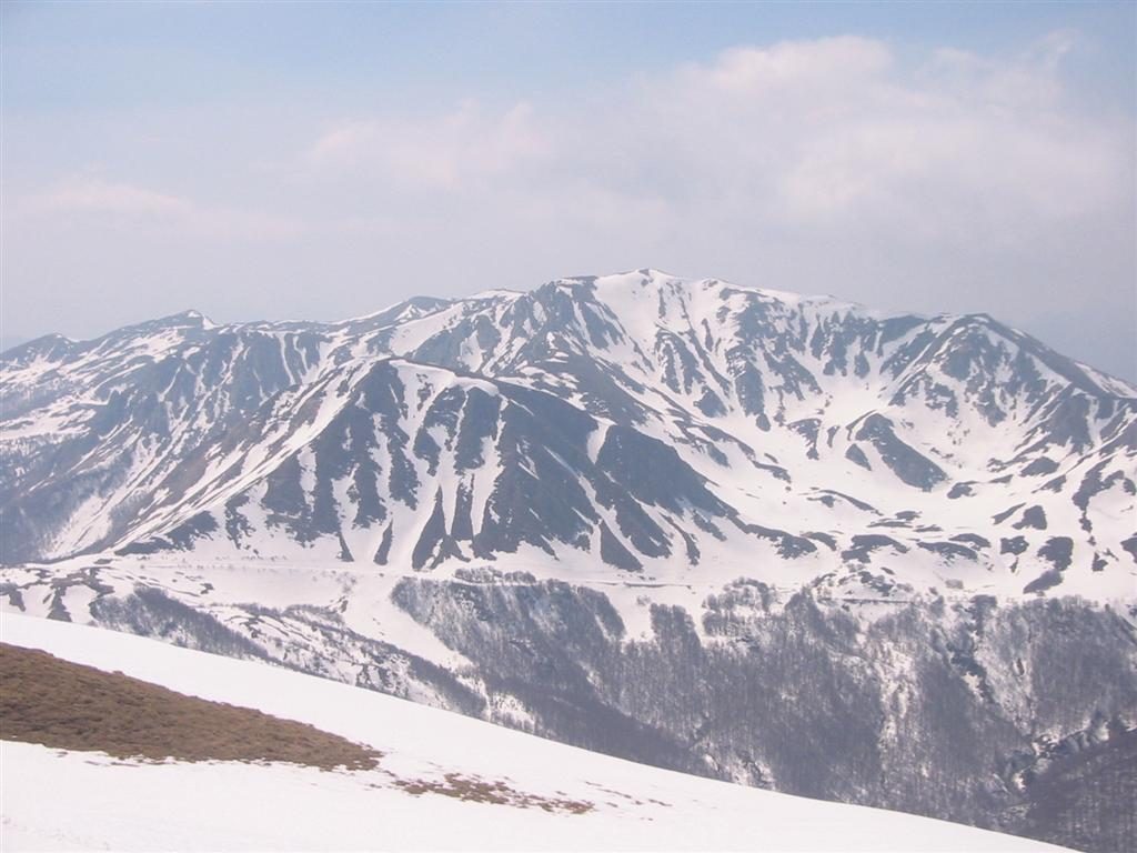
Sila National Park is a national park in Italy, covering 182,104 acres (73,695 ha), established in 1997.
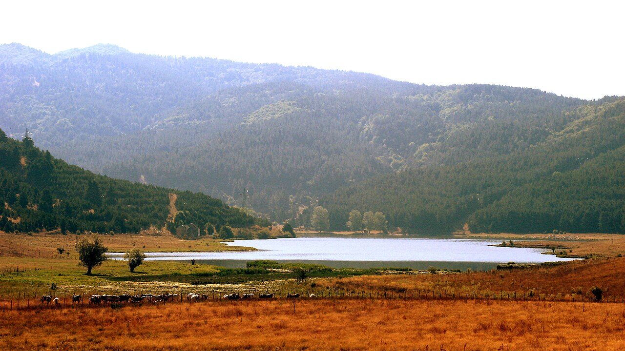
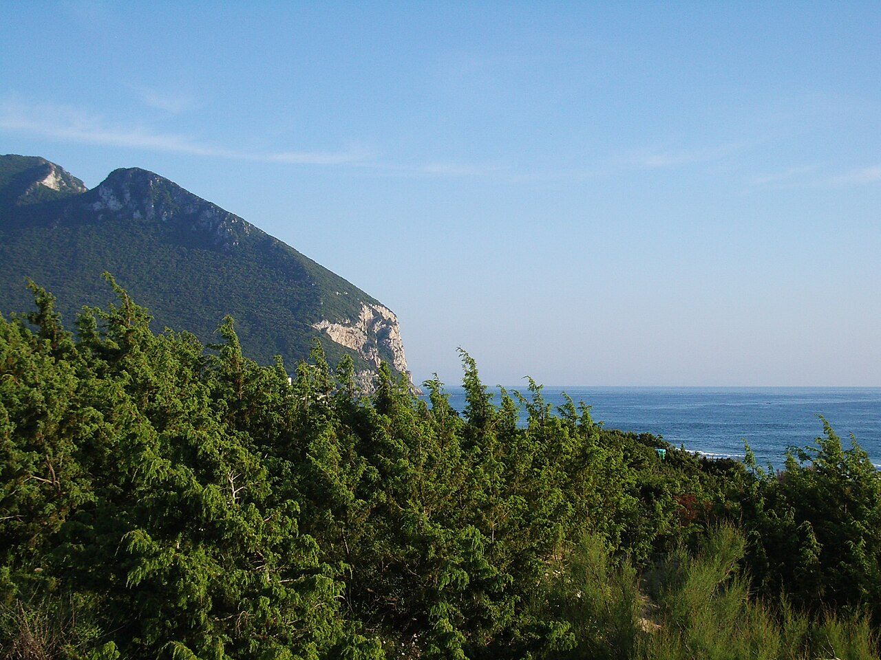
Photo: Emanuele Guerrieri via Wikimedia Commons, CC BY-SA 2.0. Cropped and resized for display.
Park facts
| Park type | National Park |
|---|---|
| Location | Italy |
| Area | 182,104 acres (73,695 ha) |
| Established | 1997 |
| Coordinates | 39.3761° N, 16.5919° E |
Every fact above is taken from the sources listed below; anything no source states is left blank rather than guessed.
About Sila National Park
Sila National Park (Italian: Parco nazionale della Sila) is an Italian national park in Calabria, located on the Sila Plateau. It was established in 1997 and covers about 74,000 hectares (180,000 acres). Its highest mountains are Mt. Botte Donato (1,928 m), in Sila Grande, and Mt. Gariglione (1,764 m) in Sila Piccola. The park was established with the Regional Decree of 14 November 2002 and includes its own management agency.
Description from the park's Wikipedia article (CC BY-SA), linked in the sources below.
Airports near this park
The airports a visitor would actually fly into, nearest first — each link opens its profile on our sister site AirportProfiles.
- Lamezia Terme Sant'Eufemia International Airport (SUF) · Lamezia Terme (CZ), Italy · 37.4 miles away
- Brindisi Airport (BDS) · Brindisi, Italy · 113.9 miles away
- Bari Karol Wojtyła International Airport (BRI) · Bari, Italy · 122.1 miles away
Parks nearby
Pollino National Park
Appennino Lucano - Val d'Agri - Lagonegrese National Park
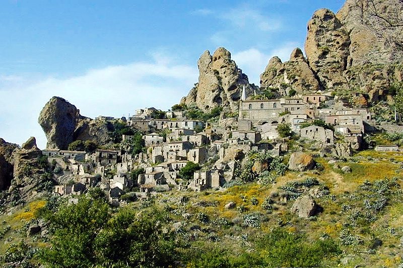
Aspromonte National Park
Cilento, Vallo di Diano and Alburni National Park
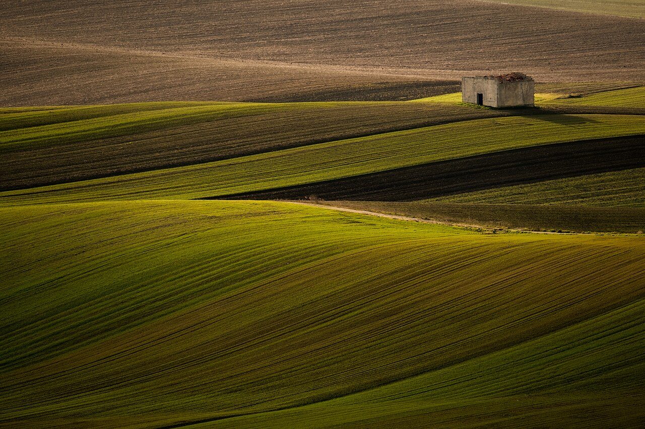
Alta Murgia National Park
Vesuvius National Park
More parks in Italy

Frequently asked questions
Where is Sila National Park?
Sila National Park is in Italy (39.3761° N, 16.5919° E).
When was Sila National Park established?
Sila National Park was established in 1997, per the source listed at the foot of this page.
How big is Sila National Park?
Sila National Park covers 182,104 acres (73,695 ha).
Sources
- https://www.wikidata.org/wiki/Q1091298 — Wikidata (CC0) — name, country, coordinates, area, established year, highest point where stated.
- https://en.wikipedia.org/wiki/Sila_National_Park — Wikipedia article — description (CC BY-SA).