
National Park · Finland
Southern Konnevesi National Park
Southern Konnevesi National Park is a national park in Finland, covering 4,201 acres (1,700 ha), established in 2014.
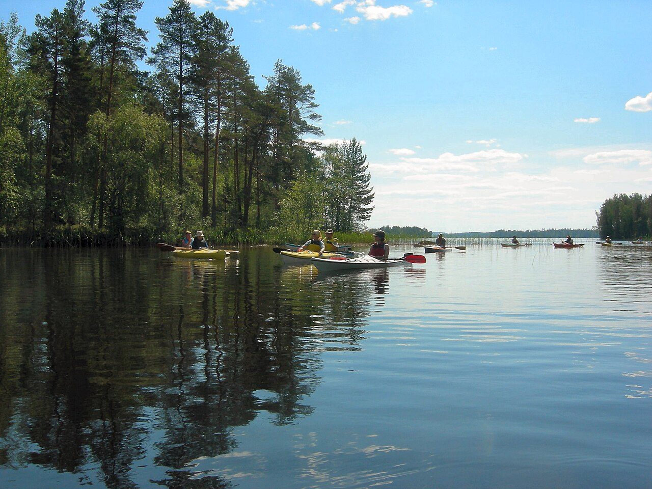
Photo: Kospo75 via Wikimedia Commons, CC BY-SA 3.0. Cropped and resized for display.
Park facts
| Park type | National Park |
|---|---|
| Location | Finland |
| Area | 4,201 acres (1,700 ha) |
| Established | 2014 |
| Coordinates | 62.5500° N, 26.6333° E |
Every fact above is taken from the sources listed below; anything no source states is left blank rather than guessed.
About Southern Konnevesi National Park
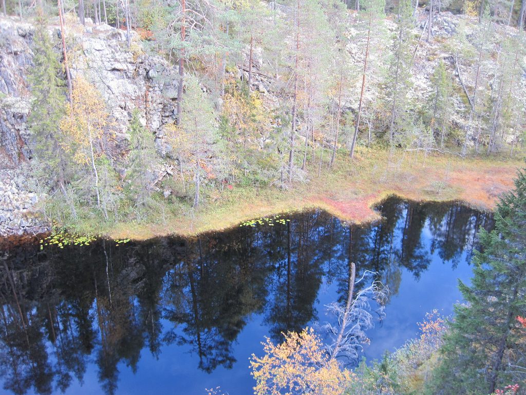
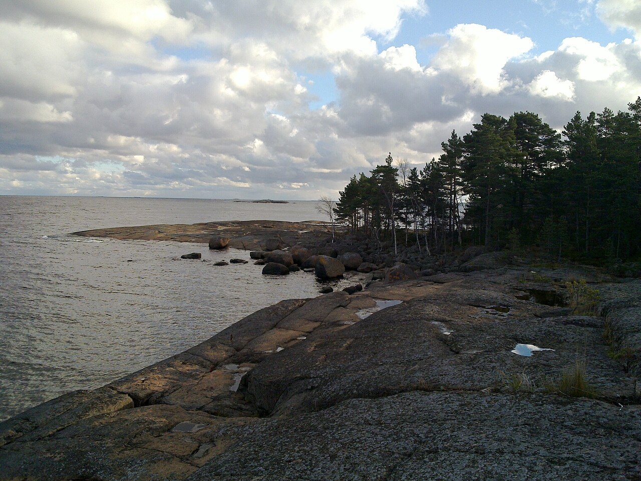
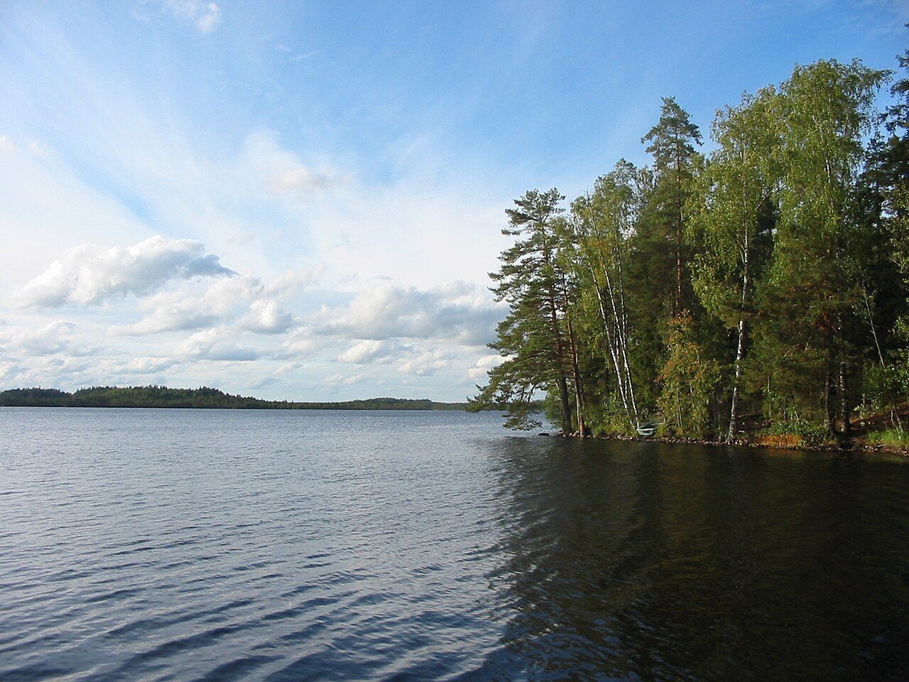
Southern Konnevesi National Park (Finnish: Etelä-Konneveden kansallispuisto) is situated in the Finnish Lakeland on the border of the regions Central Finland and Northern Savonia, in the municipalities of Konnevesi and Rautalampi. The park includes islands in the southern part of Lake Konnevesi and an extensive continuous stretch of mainland on the lake's eastern shore. The national park is located to the south of main road 69 and to the north-west of highway 9. In the park visitors can enjoy the wide open waters of the lake in a boat, or canoe through a maze of islands among smooth glaciated rocks and vertical rock walls.
Description from the park's Wikipedia article (CC BY-SA), linked in the sources below.
Planning your visit
What to do
Airports near this park
The airports a visitor would actually fly into, nearest first — each link opens its profile on our sister site AirportProfiles.
- Kuopio Airport (KUO) · Kuopio / Siilinjärvi, Finland · 48.5 miles away
- Lappeenranta Airport (LPP) · Lappeenranta, Finland · 115.1 miles away
- Tampere-Pirkkala Airport (TMP) · Tampere / Pirkkala, Finland · 125.8 miles away
Parks nearby
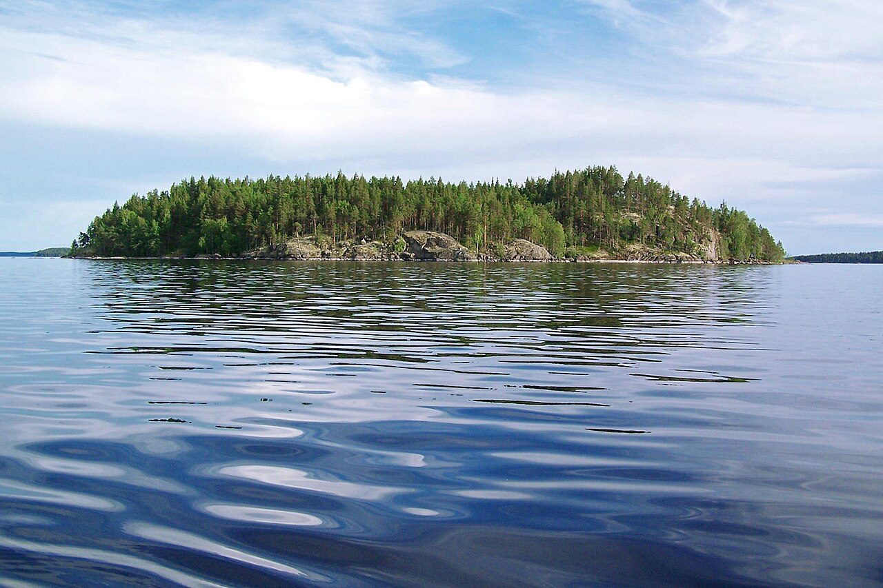
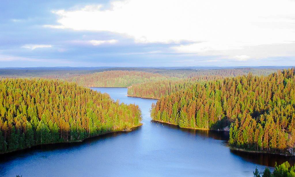
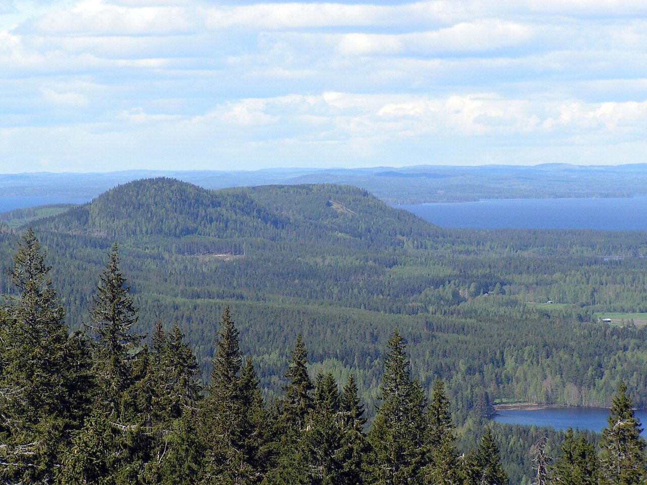
More parks in Finland

Frequently asked questions
Where is Southern Konnevesi National Park?
Southern Konnevesi National Park is in Finland (62.5500° N, 26.6333° E).
When was Southern Konnevesi National Park established?
Southern Konnevesi National Park was established in 2014, per the source listed at the foot of this page.
How big is Southern Konnevesi National Park?
Southern Konnevesi National Park covers 4,201 acres (1,700 ha).
Sources
- https://www.wikidata.org/wiki/Q18681728 — Wikidata (CC0) — name, country, coordinates, area, established year, highest point where stated.
- https://en.wikipedia.org/wiki/Southern_Konnevesi_National_Park — Wikipedia article — description (CC BY-SA).