
National Park · Australia
St Helena Island National Park
St Helena Island National Park is a national park in Australia, covering 198 acres (80 ha), established in 1979.
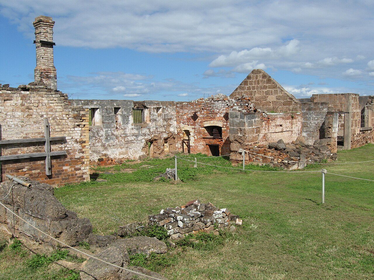
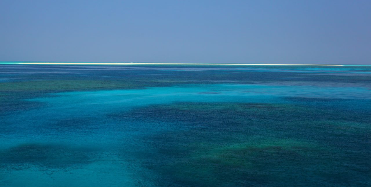
Photo: merlin9911 via Wikimedia Commons, CC0. Cropped and resized for display.
Park facts
| Park type | National Park |
|---|---|
| Location | Australia |
| Area | 198 acres (80 ha) |
| Established | 1979 |
| Coordinates | 27.3933° S, 153.2317° E |
Every fact above is taken from the sources listed below; anything no source states is left blank rather than guessed.
About St Helena Island National Park
St Helena Island is a heritage-listed island in Moreton Bay, City of Brisbane, Queensland, Australia. It is 21 kilometres (13 mi) east of Brisbane and 4 kilometres (2.5 mi) east of the mouth of the Brisbane River. Originally used as a prison, it is now a national park. Local Australian Aboriginals called the island Noogoon but it was renamed St Helena after an Aboriginal man named Eulope was exiled there in 1827. The island is visible from the mainland, particularly the suburbs of Wynnum, Manly and Lota. It has its own permanent water supply, a spring in the centre of the island.
Description from the park's Wikipedia article (CC BY-SA), linked in the sources below.
Airports near this park
The airports a visitor would actually fly into, nearest first — each link opens its profile on our sister site AirportProfiles.
- Brisbane International Airport (BNE) · Brisbane, Australia · 7.1 miles away
- Gold Coast Airport (OOL) · Gold Coast, Australia · 56.0 miles away
- Sunshine Coast Airport (MCY) · Maroochydore, Australia · 56.0 miles away
Parks nearby
More parks in Australia

Frequently asked questions
Where is St Helena Island National Park?
St Helena Island National Park is in Australia (27.3933° S, 153.2317° E).
When was St Helena Island National Park established?
St Helena Island National Park was established in 1979, per the source listed at the foot of this page.
How big is St Helena Island National Park?
St Helena Island National Park covers 198 acres (80 ha).
Sources
- https://www.wikidata.org/wiki/Q2316148 — Wikidata (CC0) — name, country, coordinates, area, established year, highest point where stated.
- https://en.wikipedia.org/wiki/St_Helena_Island_National_Park — Wikipedia article — description (CC BY-SA).