
State Park · Illinois, United States
Starved Rock State Park
Starved Rock State Park is a state park in Illinois, United States, established in 1911.
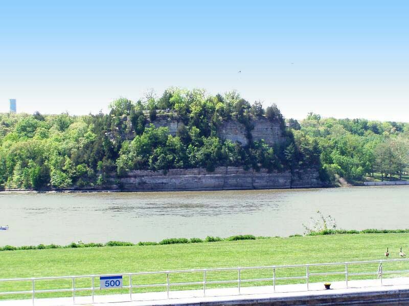
Photo: Chris Light ( talk ) via Wikimedia Commons, CC BY-SA 3.0. Cropped and resized for display.
Park facts
| Park type | State Park |
|---|---|
| Location | LaSalle, Illinois, United States |
| Established | 1911 |
| Coordinates | 41.3214° N, 88.9903° W |
| Managed by | Illinois state park system |
Every fact above is taken from the sources listed below; anything no source states is left blank rather than guessed.
About Starved Rock State Park
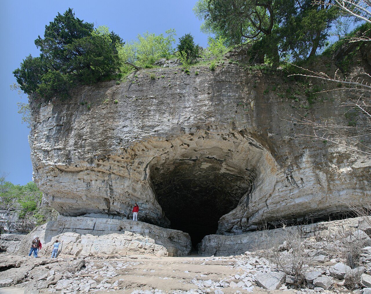
Starved Rock State Park is a state park in the U.S. state of Illinois, characterized by the many canyons within its 2,630 acres (1,064 ha). Located just southeast of the village of Utica, in Deer Park Township, LaSalle County, Illinois, along the south bank of the Illinois River, the park hosts over two million visitors annually, the most for any Illinois state park. A flood from a melting glacier, known as the Kankakee Torrent, which took place approximately 14,000–19,000 years ago led to the topography of the site and its exposed rock canyons.
Description from the park's Wikipedia article (CC BY-SA), linked in the sources below.
Airports near this park
The airports a visitor would actually fly into, nearest first — each link opens its profile on our sister site AirportProfiles.
- Chicago Midway International Airport (MDW) · Chicago, United States · 71.6 miles away
- Chicago O'Hare International Airport (ORD) · Chicago, United States · 72.1 miles away
- General Mitchell International Airport (MKE) · Milwaukee, United States · 125.5 miles away
Parks nearby
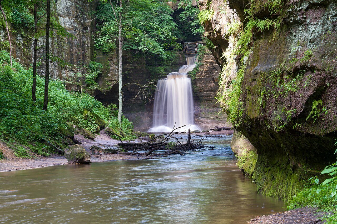
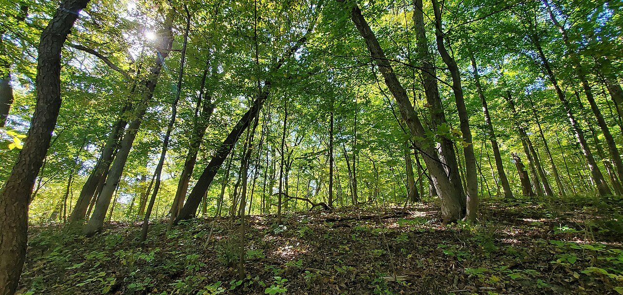
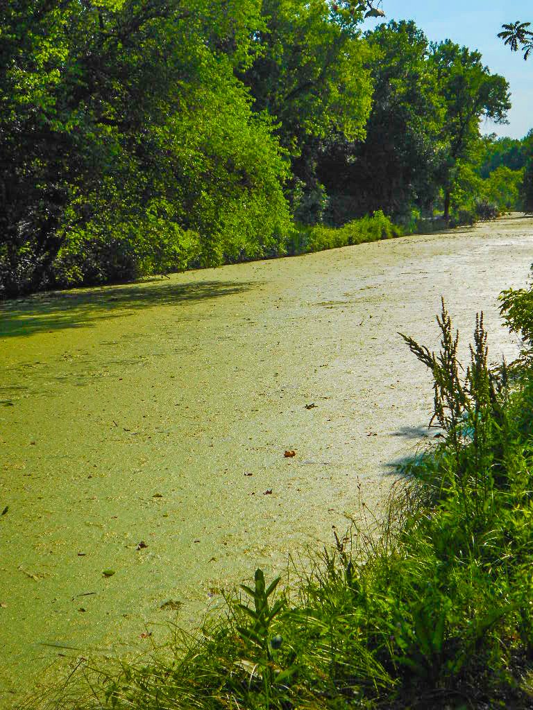
More parks in Illinois

Frequently asked questions
Where is Starved Rock State Park?
Starved Rock State Park is in Illinois, United States (41.3214° N, 88.9903° W).
When was Starved Rock State Park established?
Starved Rock State Park was established in 1911, per the source listed at the foot of this page.
Sources
- https://en.wikipedia.org/wiki/List_of_protected_areas_of_Illinois — Wikipedia list of Illinois state parks — park name, county/location, size, year where the table states them.
- https://en.wikipedia.org/wiki/Starved_Rock_State_Park — Wikipedia article — description (CC BY-SA).