
National Park · Sweden
Stenshuvud National Park
Stenshuvud National Park is a national park in Sweden, covering 987 acres (399 ha), established in 1986.
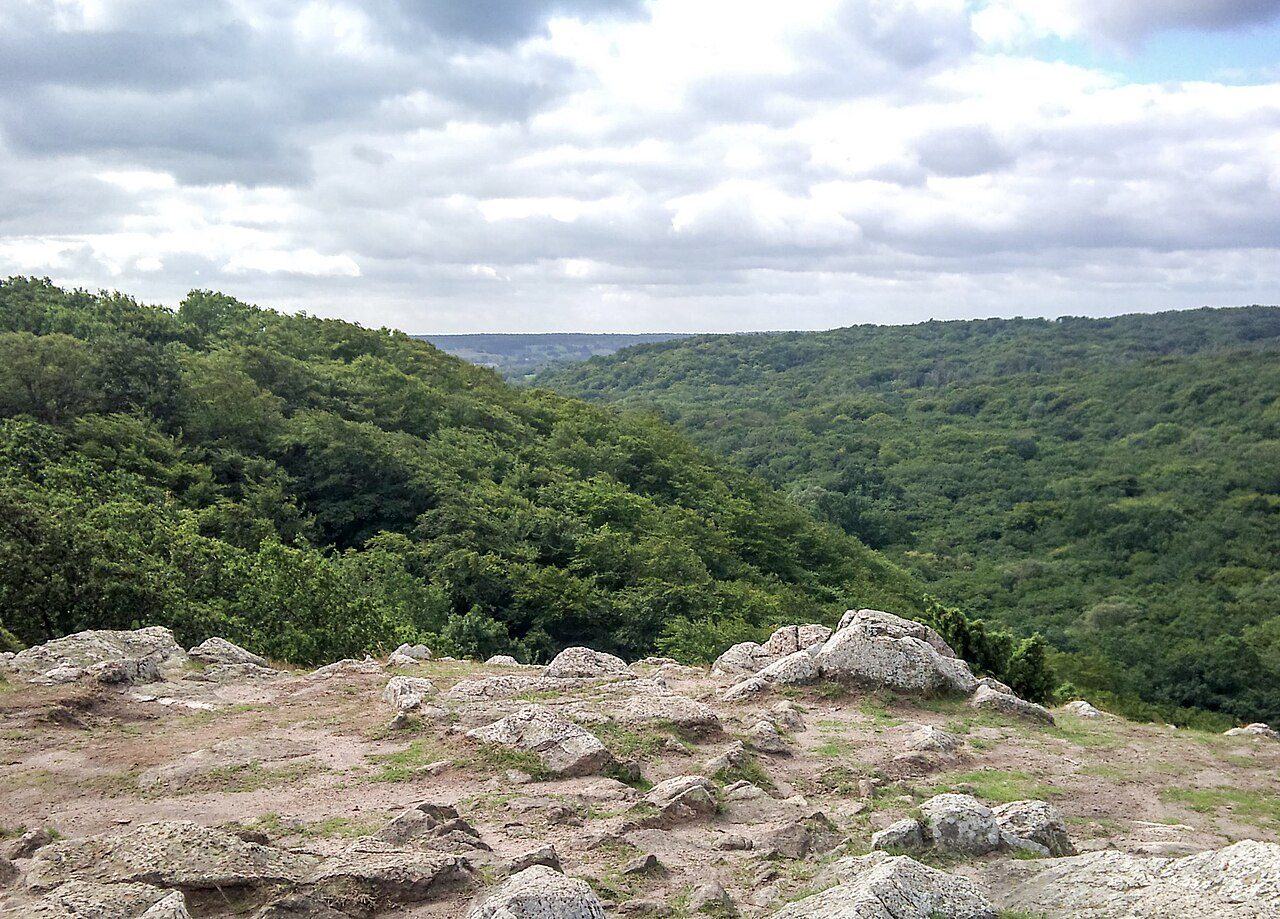
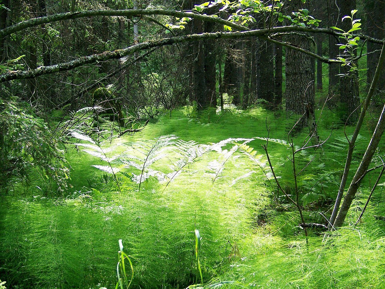
Photo: Jin Zan via Wikimedia Commons, CC BY-SA 4.0. Cropped and resized for display.
Park facts
| Park type | National Park |
|---|---|
| Location | Sweden |
| Area | 987 acres (399 ha) |
| Established | 1986 |
| Coordinates | 55.6578° N, 14.2699° E |
Every fact above is taken from the sources listed below; anything no source states is left blank rather than guessed.
About Stenshuvud National Park
Stenshuvud is a hill in the southeastern corner of Sweden, in the province of Scania, close to Kivik in Simrishamn Municipality. Since 1986, it is one of the National parks of Sweden. The park covers an area of about 3.9 km2 (1.5 mi2). The hill is 97 m (318 ft) high and faces the Baltic Sea. Since the surrounding landscape is relatively flat, it can be seen from a great distance and has traditionally been used as a landmark for seafarers. Many visitors trek up the hill to enjoy the view which is very good in clear weather. The Stenshuvud National Park is traversed by a section of the Skåneleden Trail, between Simrishamn and Kivik.
Description from the park's Wikipedia article (CC BY-SA), linked in the sources below.
Planning your visit
What to do
Airports near this park
The airports a visitor would actually fly into, nearest first — each link opens its profile on our sister site AirportProfiles.
- Malmö Sturup Airport (MMX) · Malmö, Sweden · 35.9 miles away
- Copenhagen Kastrup Airport (CPH) · Copenhagen, Denmark · 63.0 miles away
- Solidarity Szczecin–Goleniów Airport (SZZ) · Szczecin(Glewice), Poland · 145.5 miles away
Parks nearby
More parks in Sweden

Frequently asked questions
Where is Stenshuvud National Park?
Stenshuvud National Park is in Sweden (55.6578° N, 14.2699° E).
When was Stenshuvud National Park established?
Stenshuvud National Park was established in 1986, per the source listed at the foot of this page.
How big is Stenshuvud National Park?
Stenshuvud National Park covers 987 acres (399 ha).
Sources
- https://www.wikidata.org/wiki/Q1566469 — Wikidata (CC0) — name, country, coordinates, area, established year, highest point where stated.
- https://en.wikipedia.org/wiki/Stenshuvud_National_Park — Wikipedia article — description (CC BY-SA).