
National Park · Algeria
Taza National Park
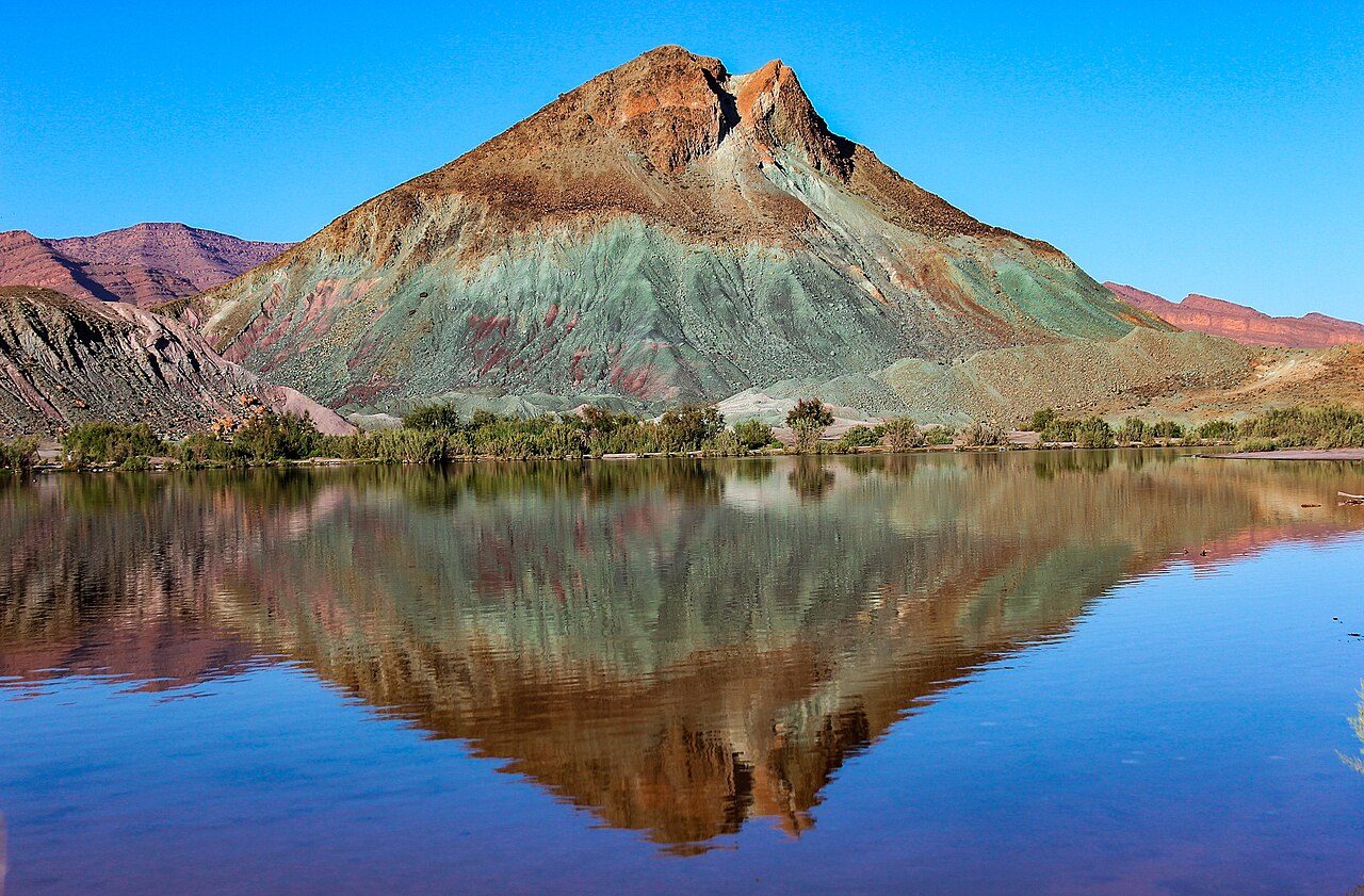
Taza National Park is a national park in Algeria, covering 9,407 acres (3,807 ha), established in 1985.
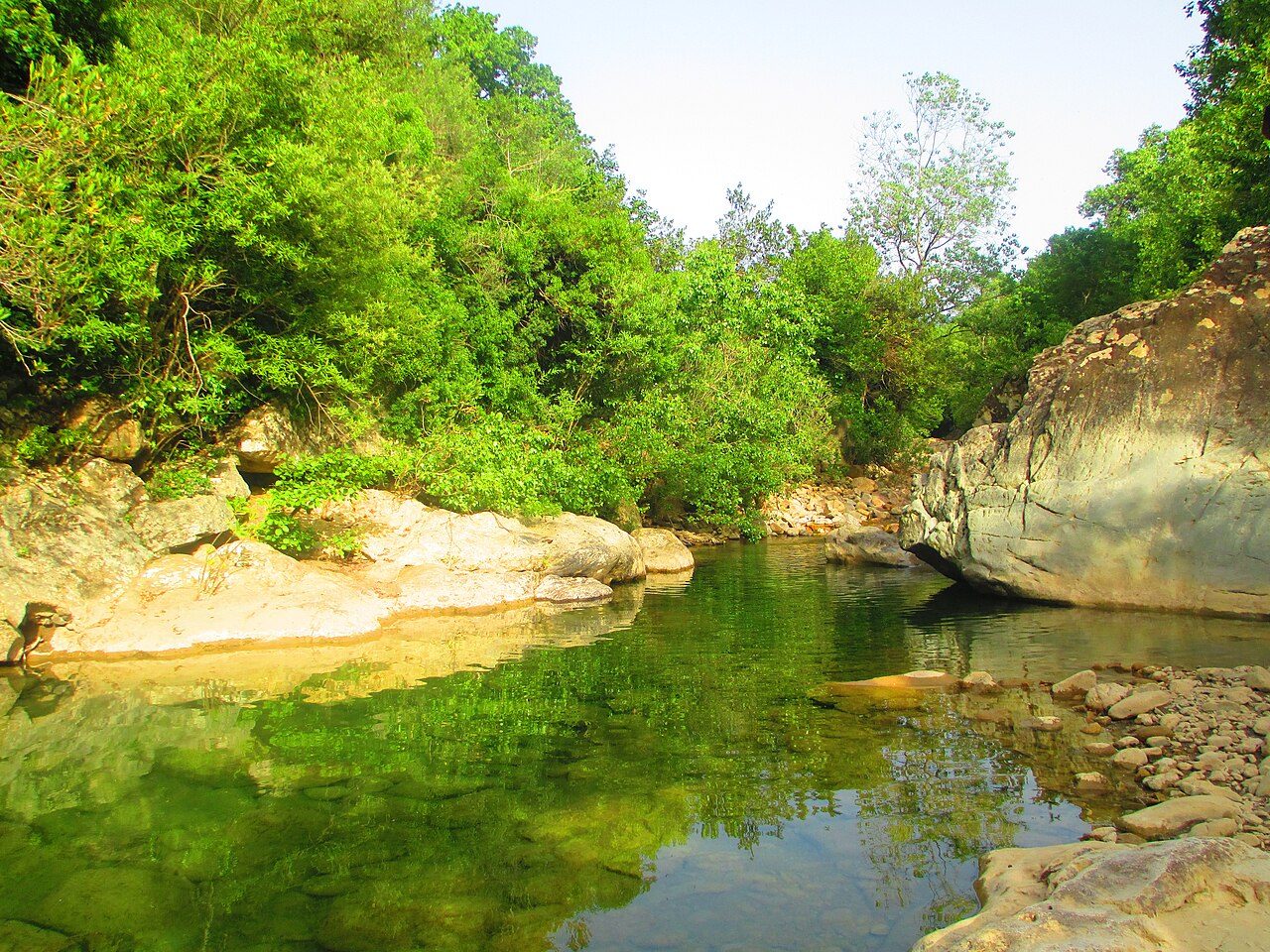
Photo: Youcef Bennani via Wikimedia Commons, CC BY-SA 3.0. Cropped and resized for display.
Park facts
| Park type | National Park |
|---|---|
| Location | Algeria |
| Area | 9,407 acres (3,807 ha) |
| Established | 1985 |
| Coordinates | 36.7002° N, 5.5594° E |
Every fact above is taken from the sources listed below; anything no source states is left blank rather than guessed.
About Taza National Park
The Taza National Park (Arabic:الحظيرة الوطنية تازة) is one of the smaller national parks of Algeria. It is located in Jijel Province in the mountainous region of the Tell Atlas, and is named after the nearby city of Taza. Its total area is 3,807 hectares (9,410 acres) and it includes parts of the forested area of the Guerrouch massif. The lower parts of the park seldom experience frost and are relatively warm and dry, while the peaks may have a covering of snow in winter. The annual precipitation in the park ranges from 1,000 to 1,400 millimetres (39 to 55 in) and the annual mean temperature is around 18 °C (64 °F).
Description from the park's Wikipedia article (CC BY-SA), linked in the sources below.
Airports near this park
The airports a visitor would actually fly into, nearest first — each link opens its profile on our sister site AirportProfiles.
- Jijel Ferhat Abbas Airport (GJL) · Tahir, Algeria · 18.6 miles away
- Soummam–Abane Ramdane Airport (BJA) · Béjaïa, Algeria · 27.1 miles away
- Mohamed Boudiaf International Airport (CZL) · Constantine, Algeria · 65.8 miles away
Parks nearby
More parks in Algeria

Frequently asked questions
Where is Taza National Park?
Taza National Park is in Algeria (36.7002° N, 5.5594° E).
When was Taza National Park established?
Taza National Park was established in 1985, per the source listed at the foot of this page.
How big is Taza National Park?
Taza National Park covers 9,407 acres (3,807 ha).
Sources
- https://www.wikidata.org/wiki/Q2671615 — Wikidata (CC0) — name, country, coordinates, area, established year, highest point where stated.
- https://en.wikipedia.org/wiki/Taza_National_Park — Wikipedia article — description (CC BY-SA).