
National Park · Venezuela
Terepaima National Park
Terepaima National Park is a national park in Venezuela, established in 1976.
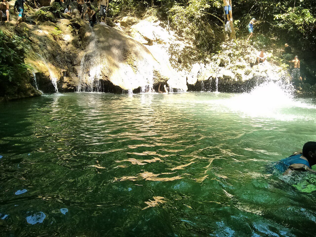
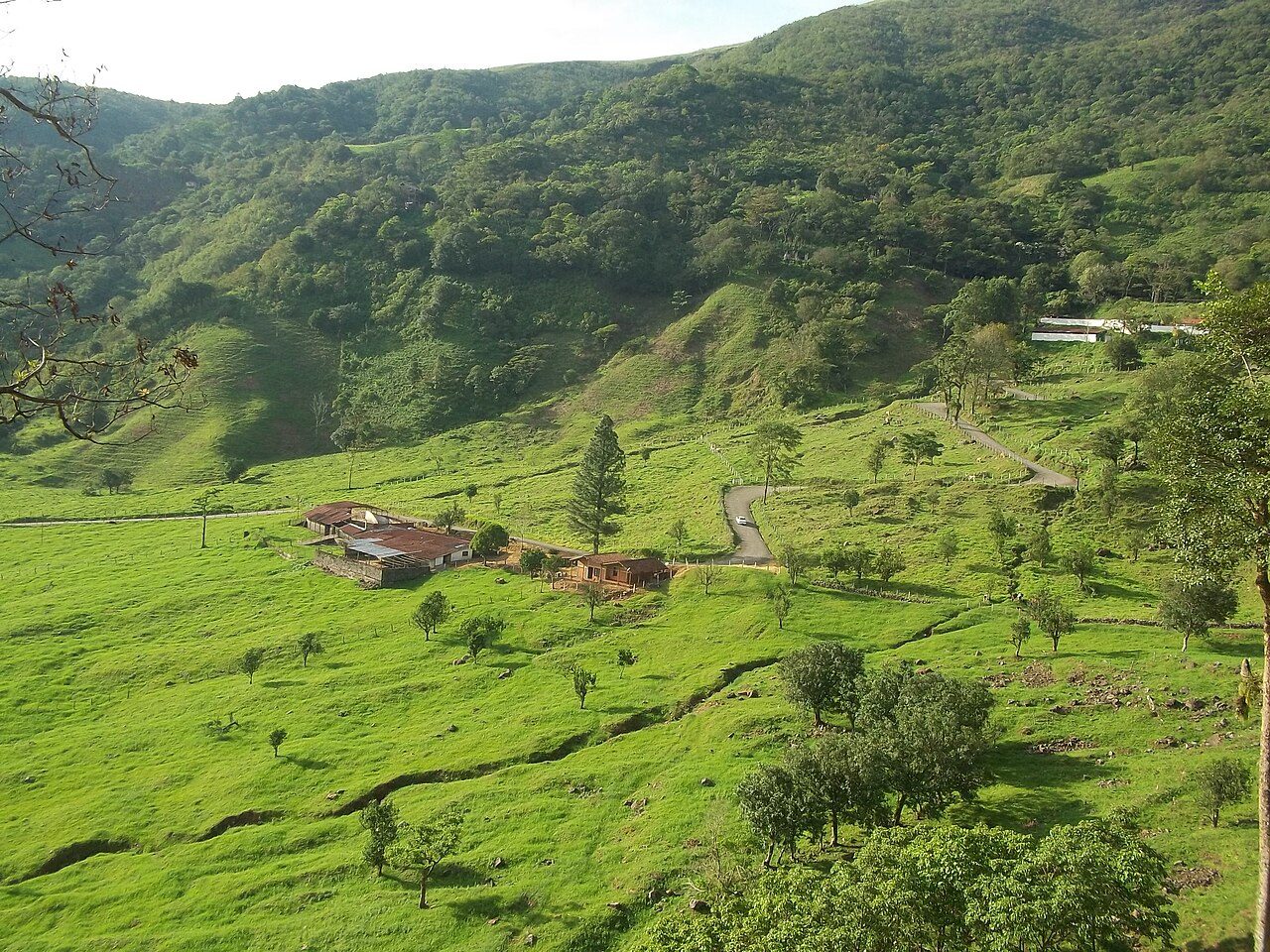
Photo: Johnny Marchan A. via Wikimedia Commons, CC BY-SA 4.0. Cropped and resized for display.
Park facts
| Park type | National Park |
|---|---|
| Location | Venezuela |
| Established | 1976 |
| Coordinates | 9.8667° N, 69.2667° W |
Every fact above is taken from the sources listed below; anything no source states is left blank rather than guessed.
About Terepaima National Park
The Terepaima National Park (Spanish: Parque nacional Terepaima) Is a protected area with the status of national park in the South American country of Venezuela located in the mountainous region of the Lara and Portuguesa States. Specifically southeast of the city of Barquisimeto, capital of the Lara State, it covers areas belonging to the municipalities Iribarren, Palavecino and Simón Planas. It was decreed National Park on April 14, 1976, with the purpose of protecting the flora and fauna of the region. It has an area of 18,971 hectares. Its temperature varies between 19 and 26 degrees Celsius.
Description from the park's Wikipedia article (CC BY-SA), linked in the sources below.
Airports near this park
The airports a visitor would actually fly into, nearest first — each link opens its profile on our sister site AirportProfiles.
- Jacinto Lara International Airport (BRM) · Barquisimeto, Venezuela · 13.7 miles away
- Arturo Michelena International Airport (VLN) · Valencia, Venezuela · 93.1 miles away
Parks nearby
More parks in Venezuela

Frequently asked questions
Where is Terepaima National Park?
Terepaima National Park is in Venezuela (9.8667° N, 69.2667° W).
When was Terepaima National Park established?
Terepaima National Park was established in 1976, per the source listed at the foot of this page.
Sources
- https://www.wikidata.org/wiki/Q4845694 — Wikidata (CC0) — name, country, coordinates, area, established year, highest point where stated.
- https://en.wikipedia.org/wiki/Terepaima_National_Park — Wikipedia article — description (CC BY-SA).