
National Park · Australia
Tewantin National Park
Tewantin National Park is a national park in Australia, covering 320,989 acres (129,900 ha), established in 2010.
National Park · Australia
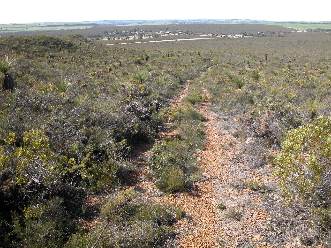
No freely licensed photograph of this park is in our library yet — rather than borrow a picture of somewhere else, this profile leads with its verified facts.
Park facts
| Park type | National Park |
|---|---|
| Location | Australia |
| Area | 320,989 acres (129,900 ha) |
| Established | 2010 |
| Coordinates | 26.3797° S, 152.9674° E |
Every fact above is taken from the sources listed below; anything no source states is left blank rather than guessed.
About Tewantin National Park
The Tewantin National Park is a 13 square kilometre national park in Queensland, Australia. It consists of five individual areas west of Noosa Heads in the Wide Bay-Burnett region about 115 kilometres north of Brisbane and 125 km south of Hervey Bay. The park is divided into disconnected sections within Lake Macdonald, Tinbeerwah, Tewantin and Noosaville. The national park protects coastal rainforest, bright eucalyptus forest and the last remnants of Wallum Heath between Noosa and Cooroy. Mount Tinbeerwah (265 m) is composed of solidified lava, which was created by volcanic activity millions of years ago.
Description from the park's Wikipedia article (CC BY-SA), linked in the sources below.
Airports near this park
The airports a visitor would actually fly into, nearest first — each link opens its profile on our sister site AirportProfiles.
- Sunshine Coast Airport (MCY) · Maroochydore, Australia · 16.4 miles away
- Brisbane International Airport (BNE) · Brisbane, Australia · 70.0 miles away
- Toowoomba Wellcamp Airport (WTB) · Toowoomba, Australia · 108.9 miles away
Parks nearby
More parks in Australia
Frequently asked questions
Where is Tewantin National Park?
Tewantin National Park is in Australia (26.3797° S, 152.9674° E).
When was Tewantin National Park established?
Tewantin National Park was established in 2010, per the source listed at the foot of this page.
How big is Tewantin National Park?
Tewantin National Park covers 320,989 acres (129,900 ha).
Sources
- https://www.wikidata.org/wiki/Q2407480 — Wikidata (CC0) — name, country, coordinates, area, established year, highest point where stated.
- https://en.wikipedia.org/wiki/Tewantin_National_Park — Wikipedia article — description (CC BY-SA).