
National Park · Madagascar
Tsimanampetsotsa National Park
Tsimanampetsotsa National Park is a national park in Madagascar, covering 106,749 acres (43,200 ha), established in 1927.
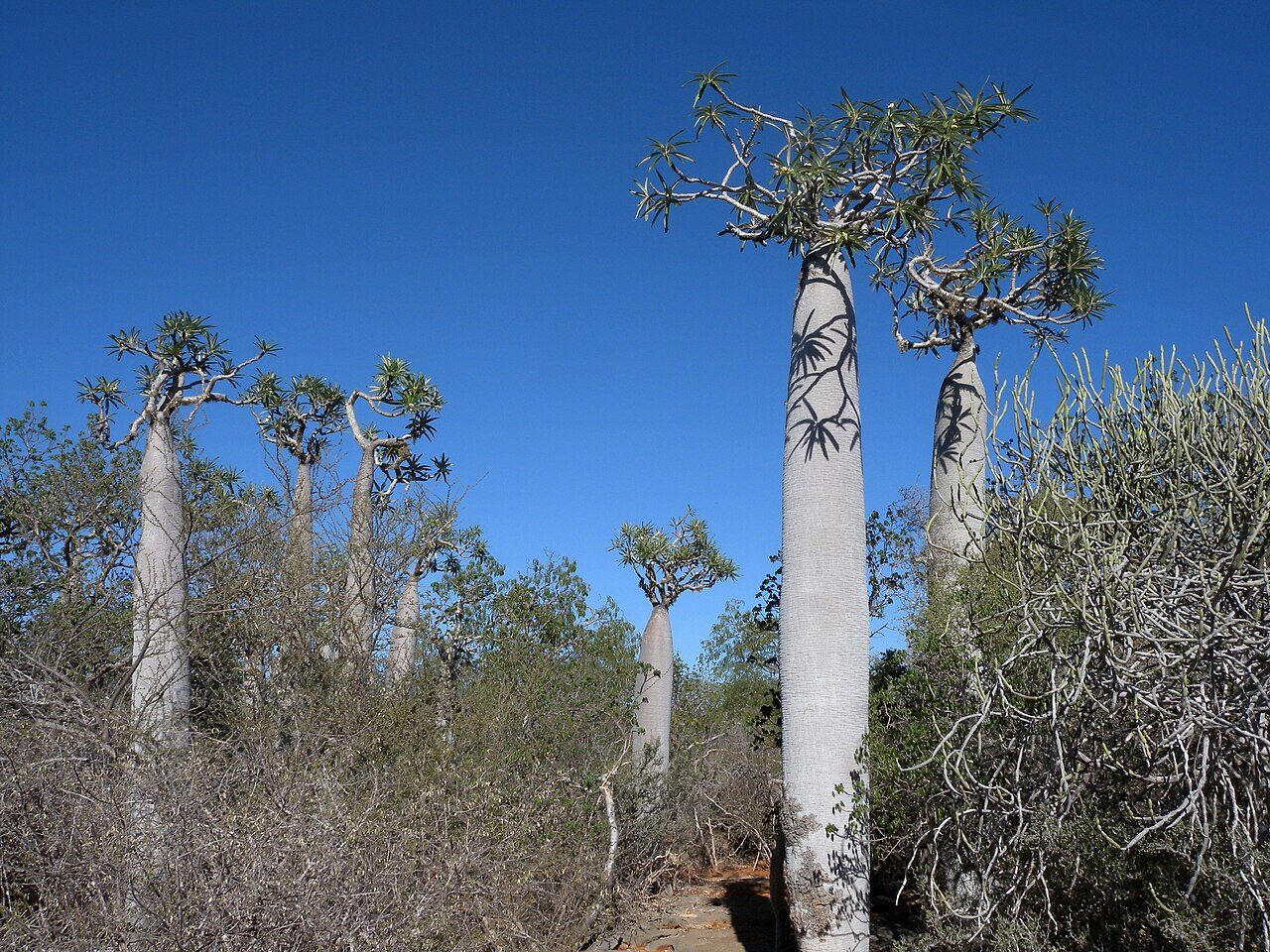
Photo: Frank Vassen from Brussels, Belgium via Wikimedia Commons, CC BY 2.0. Cropped and resized for display.

Park facts
| Park type | National Park |
|---|---|
| Location | Madagascar |
| Area | 106,749 acres (43,200 ha) |
| Established | 1927 |
| Coordinates | 24.1082° S, 43.8383° E |
Every fact above is taken from the sources listed below; anything no source states is left blank rather than guessed.
About Tsimanampetsotsa National Park
Tsimanampetsotsa National Park also spelt Tsimanampetsotse, and known as Tsimanampetsotsa Nature Reserve is a 432 km2 national park on the south-west coast of Madagascar in the region Atsimo-Andrefana. The park is 90 kilometres (56 mi) south of Toliara and 950 kilometres (590 mi) south of the capital, Antananarivo. Route Nationales (RN) 10 to Faux Cap passes the park and the nearest airport is at Toliara. The national park contains and is named after Lake Tsimanampetsotsa.
Description from the park's Wikipedia article (CC BY-SA), linked in the sources below.
Airports near this park
The airports a visitor would actually fly into, nearest first — each link opens its profile on our sister site AirportProfiles.
- Toliara Airport (TLE) · Toliara, Madagascar · 50.6 miles away
Parks nearby
Zombitse-Vohibasia National Park
Nosy Ve-Androka National Park
Isalo National Park
Andohahela National Park
Kirindy Mitea National Park
Andringitra National Park
More parks in Madagascar
Ankarafantsika National Park
Isalo National Park
Marojejy National Park
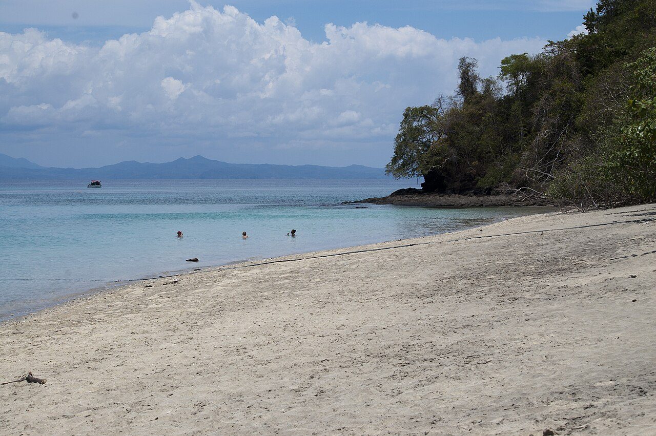
Nosy Hara National Park
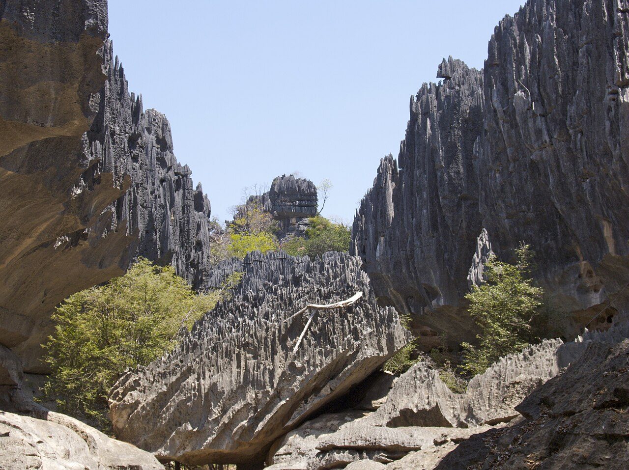
Tsingy de Namoroka National Park
Amber Mountain National Park
Analamazaotra National Park
Andasibe-Mantadia National Park
Frequently asked questions
Where is Tsimanampetsotsa National Park?
Tsimanampetsotsa National Park is in Madagascar (24.1082° S, 43.8383° E).
When was Tsimanampetsotsa National Park established?
Tsimanampetsotsa National Park was established in 1927, per the source listed at the foot of this page.
How big is Tsimanampetsotsa National Park?
Tsimanampetsotsa National Park covers 106,749 acres (43,200 ha).
Sources
- https://www.wikidata.org/wiki/Q1340410 — Wikidata (CC0) — name, country, coordinates, area, established year, highest point where stated.
- https://en.wikipedia.org/wiki/Tsimanampetsotsa_National_Park — Wikipedia article — description (CC BY-SA).