
State Trail · Illinois, United States
Tunnel Hill State Trail
Tunnel Hill State Trail is a state trail in Illinois, United States.
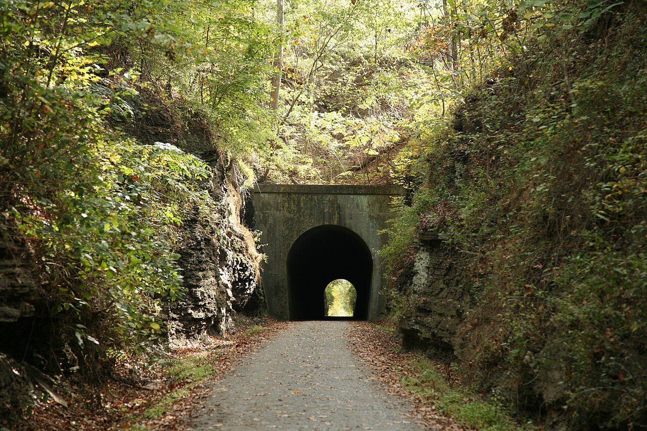
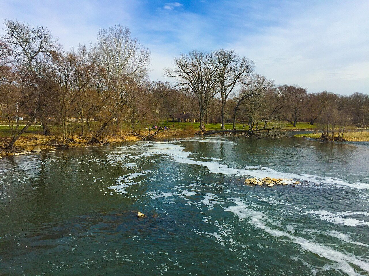
Photo: Daniel Schwen via Wikimedia Commons, CC BY-SA 4.0. Cropped and resized for display.
Park facts
| Park type | State Trail |
|---|---|
| Location | Johnson , Pulaski , Saline , Williamson, Illinois, United States |
| Length | 47 miles (76.4 km) |
| Coordinates | 37.8029° N, 88.4569° W |
| Managed by | Illinois state park system |
Every fact above is taken from the sources listed below; anything no source states is left blank rather than guessed.
About Tunnel Hill State Trail
The Tunnel Hill State Trail is a bicycle trail running from Eldorado to Karnak, Illinois. The trail runs along the former bed of a part of the Cairo and Vincennes Railroad, a transportation unit led during its early years by Civil War General Ambrose Burnside. The Cairo & Vincennes became a branch line of the Southern Railway before its trail section shut down in the late 1900s. The northeast end of the trail is in Eldorado, on Trolley Road just north of U.S. Route 45. (). The southwest end of the trail is west of Karnak just off Illinois Route 37 at the Cache river wetlands center ().
Description from the park's Wikipedia article (CC BY-SA), linked in the sources below.
Planning your visit
Getting there
| Nearest town | U.S, Illinois |
|---|---|
| Getting there | just north of U.S |
Airports near this park
The airports a visitor would actually fly into, nearest first — each link opens its profile on our sister site AirportProfiles.
- St. Louis Lambert International Airport (STL) · St Louis, United States · 122.6 miles away
Parks nearby
Saline County State Fish and Wildlife Area
Hamilton County State Fish and Wildlife Area
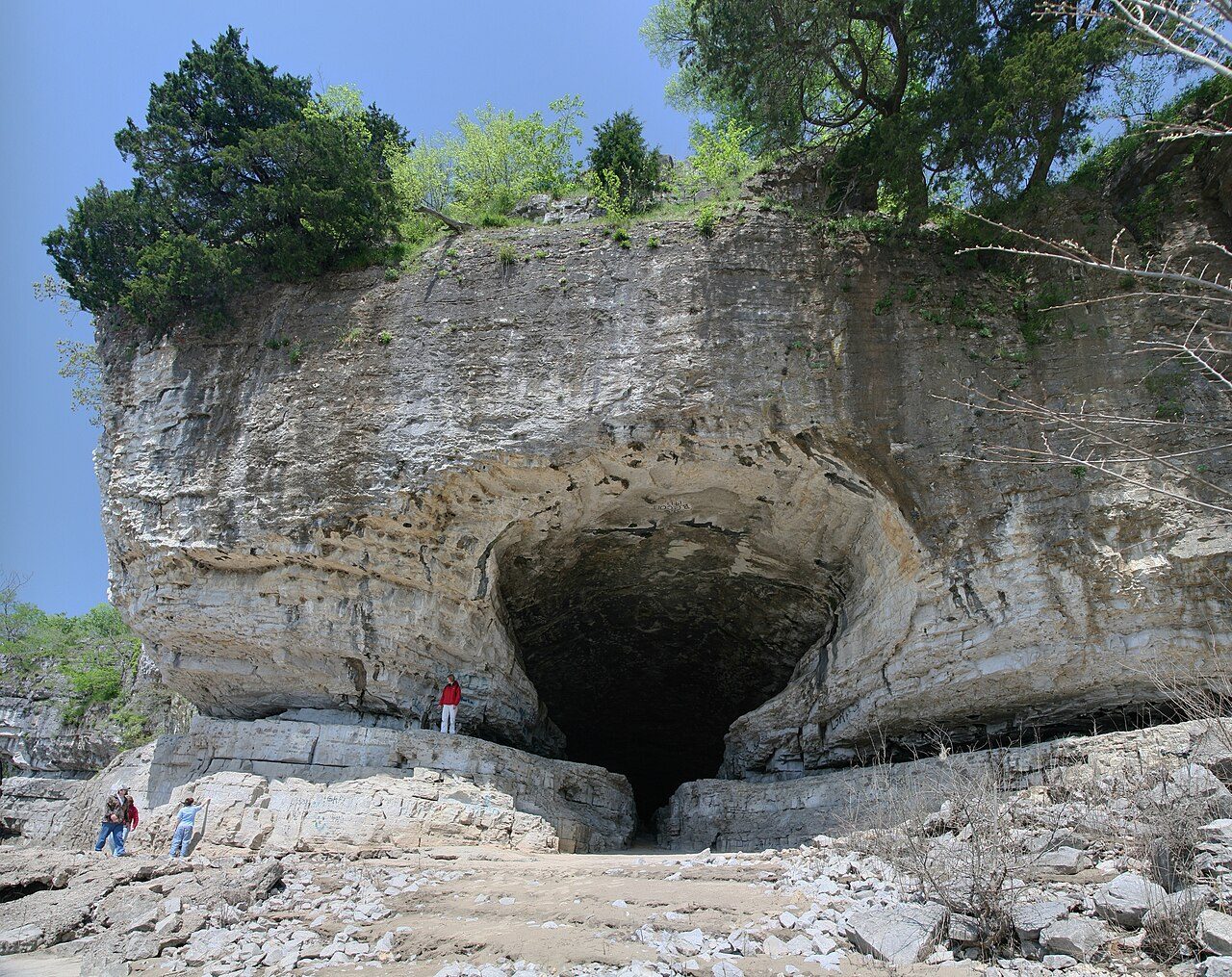
Cave-in-Rock State Park
Golconda Marina State Recreation Area
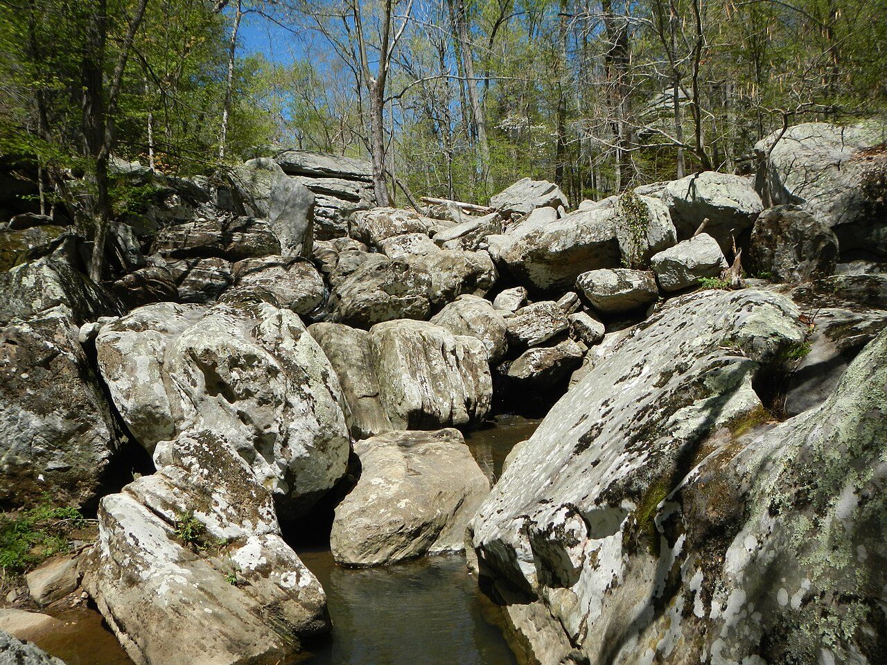
Dixon Springs State Park
Harmonie State Park
More parks in Illinois

Frequently asked questions
Where is Tunnel Hill State Trail?
Tunnel Hill State Trail is in Illinois, United States (37.8029° N, 88.4569° W).
How do I get to Tunnel Hill State Trail?
The nearest town is U.S, Illinois. just north of U.S.
Sources
- https://en.wikipedia.org/wiki/List_of_protected_areas_of_Illinois — Wikipedia list of Illinois state parks — park name, county/location, size, year where the table states them.
- https://en.wikipedia.org/wiki/Tunnel_Hill_State_Trail — Wikipedia article — description (CC BY-SA).