
National Park · Indonesia
Ujung Kulon National Park
Ujung Kulon National Park is a national park in Indonesia, covering 194,039 acres (78,525 ha), established in 1980.
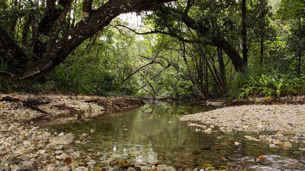
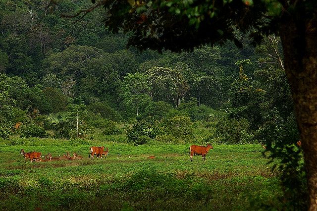
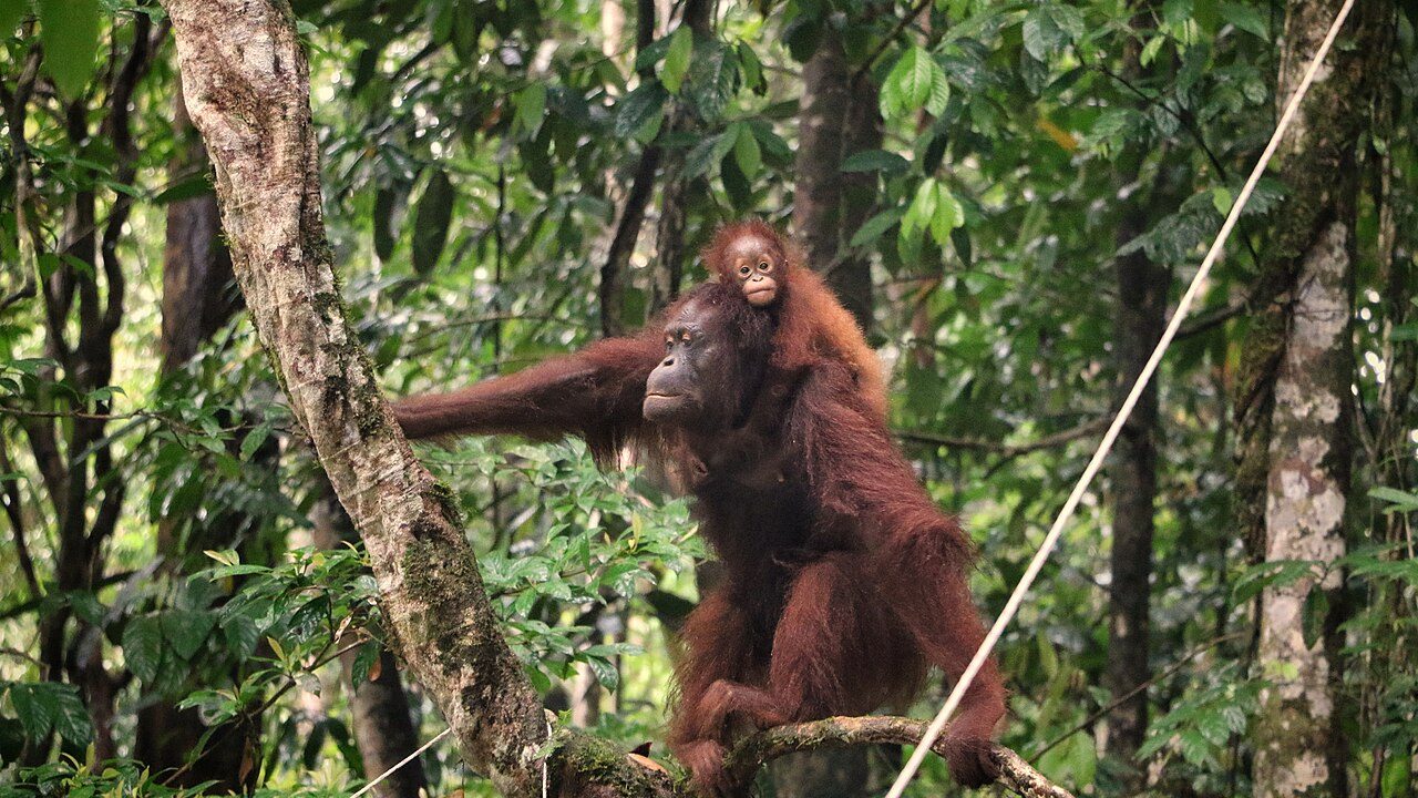
Photo: Achmad Soerio Hutomo via Wikimedia Commons, CC BY 2.0. Cropped and resized for display.
Park facts
| Park type | National Park |
|---|---|
| Location | Indonesia |
| Area | 194,039 acres (78,525 ha) |
| Established | 1980 |
| Coordinates | 6.7500° S, 105.3333° E |
Every fact above is taken from the sources listed below; anything no source states is left blank rather than guessed.
About Ujung Kulon National Park
Ujung Kulon National Park (Indonesian: Taman Nasional Ujung Kulon) is a national park at the westernmost tip of Java, located in Sumur District of Pandeglang Regency, part of Banten province in Indonesia. It once included the volcanic island group of Krakatoa in Lampung province, although current maps have suggested the Krakatoa island group as its own protected area, the Pulau Anak Krakatau Marine Nature Reserve. The area has been declared a UNESCO World Heritage Site for "containing the largest remaining area of lowland rainforests in Java", and also for possessing the most threatened species of rhino, the Javan rhino.
Description from the park's Wikipedia article (CC BY-SA), linked in the sources below.
Airports near this park
The airports a visitor would actually fly into, nearest first — each link opens its profile on our sister site AirportProfiles.
- Soekarno-Hatta International Airport (CGK) · Jakarta, Indonesia · 100.5 miles away
- Halim Perdanakusuma International Airport (HLP) · Jakarta, Indonesia · 112.0 miles away
Parks nearby
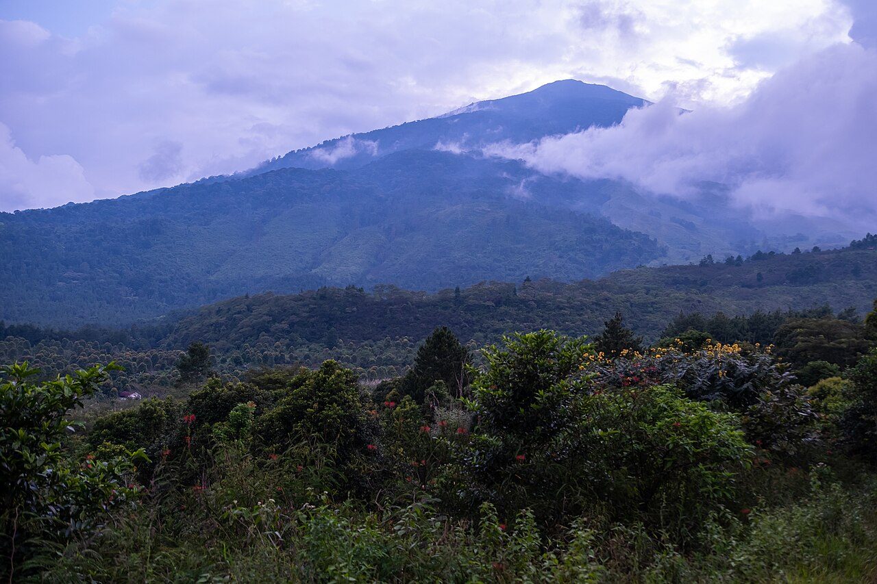
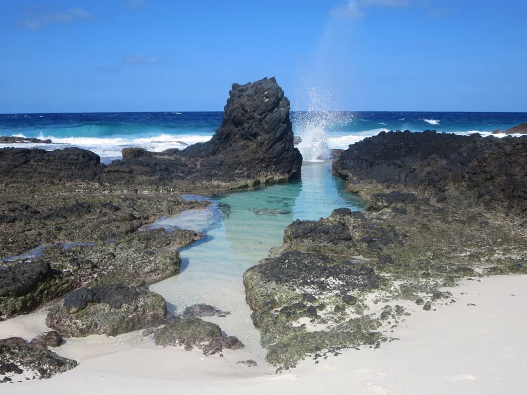
More parks in Indonesia
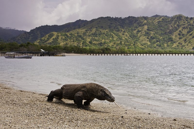
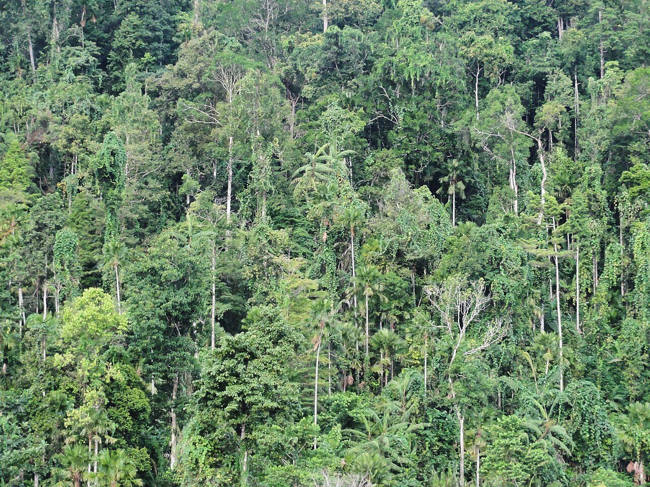

Frequently asked questions
Where is Ujung Kulon National Park?
Ujung Kulon National Park is in Indonesia (6.7500° S, 105.3333° E).
When was Ujung Kulon National Park established?
Ujung Kulon National Park was established in 1980, per the source listed at the foot of this page.
How big is Ujung Kulon National Park?
Ujung Kulon National Park covers 194,039 acres (78,525 ha).
Sources
- https://www.wikidata.org/wiki/Q4522 — Wikidata (CC0) — name, country, coordinates, area, established year, highest point where stated.
- https://en.wikipedia.org/wiki/Ujung_Kulon_National_Park — Wikipedia article — description (CC BY-SA).