
National Park · Australia
Uluṟu-Kata Tjuṯa National Park
Uluṟu-Kata Tjuṯa National Park is a national park in Australia, covering 331,106 acres (133,994 ha), established in 1958.
National Park · Australia
No freely licensed photograph of this park is in our library yet — rather than borrow a picture of somewhere else, this profile leads with its verified facts.
Park facts
| Park type | National Park |
|---|---|
| Location | Australia |
| Area | 331,106 acres (133,994 ha) |
| Established | 1958 |
| Coordinates | 25.3221° S, 130.9857° E |
Every fact above is taken from the sources listed below; anything no source states is left blank rather than guessed.
Planning your visit
Best time to visit
May to September — cooler weather, best for walking
What to do
Getting there
| Nearest town | Yulara, Northern Territory, Australia |
|---|---|
| Nearest airport | Ayers Rock Airport (AYQ) |
| Getting there | Uluru is a 20 km drive from Yulara |
Like Uluṟu-Kata Tjuṯa National Park? Visit Uluṟu-Kata Tjuṯa National Park’s official park page for hours and current conditions before you travel.
Airports near this park
The airports a visitor would actually fly into, nearest first — each link opens its profile on our sister site AirportProfiles.
- Ayers Rock Connellan Airport (AYQ) · Yulara, Australia · 9.4 miles away
Parks nearby
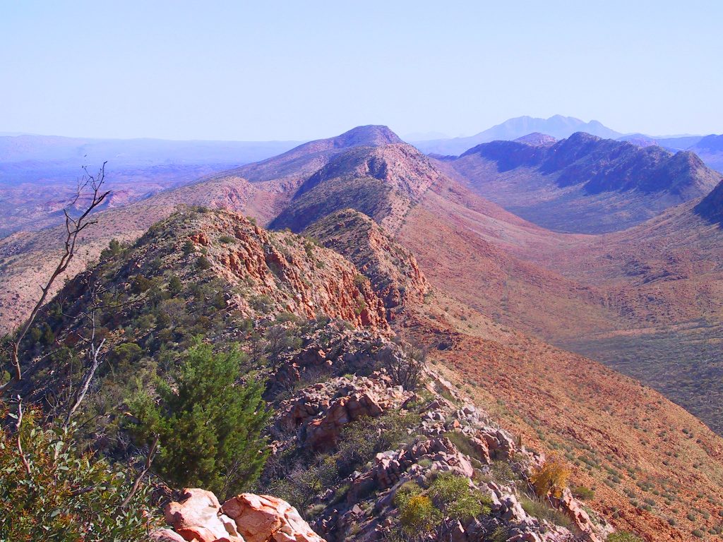
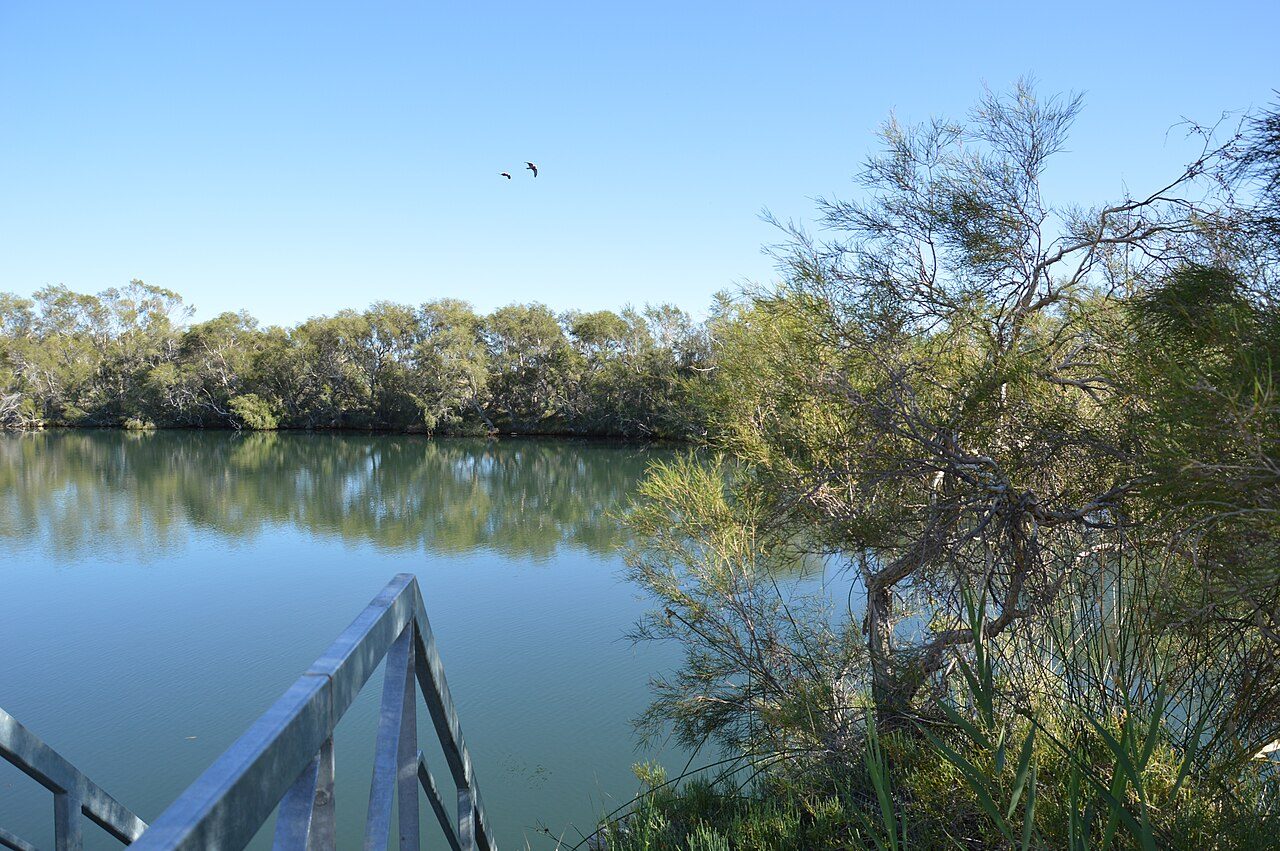
More parks in Australia
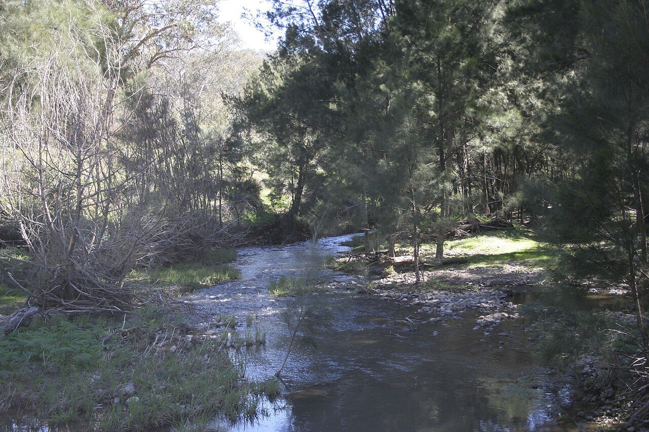
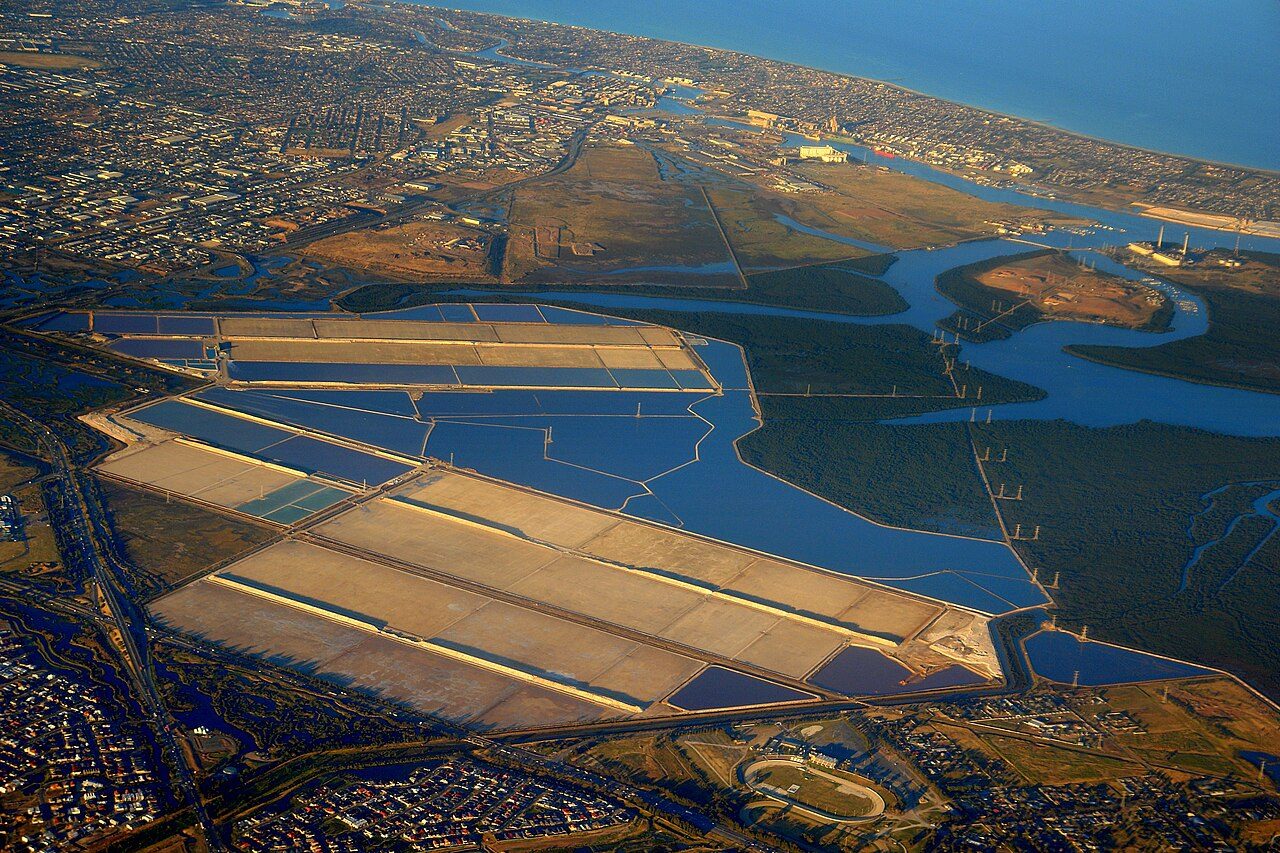
Frequently asked questions
Where is Uluṟu-Kata Tjuṯa National Park?
Uluṟu-Kata Tjuṯa National Park is in Australia (25.3221° S, 130.9857° E).
When was Uluṟu-Kata Tjuṯa National Park established?
Uluṟu-Kata Tjuṯa National Park was established in 1958, per the source listed at the foot of this page.
How big is Uluṟu-Kata Tjuṯa National Park?
Uluṟu-Kata Tjuṯa National Park covers 331,106 acres (133,994 ha).
When is the best time to visit Uluṟu-Kata Tjuṯa National Park?
May to September — cooler weather, best for walking.
How do I get to Uluṟu-Kata Tjuṯa National Park?
The nearest town is Yulara, Northern Territory, Australia. The nearest airport is Ayers Rock Airport (AYQ). Uluru is a 20 km drive from Yulara.
Sources
- https://www.wikidata.org/wiki/Q251999 — Wikidata (CC0) — name, country, coordinates, area, established year, highest point where stated.
- https://uluru.gov.au/plan/when-to-come/ — Best time to visit, as stated by the source.
- https://en.wikipedia.org/wiki/Uluru-Kata_Tjuta_National_Park — Official park page.
- https://www.exploroz.com/places/65065/nt+uluru-kata-tjuta-national-park — Activities offered, as stated by the source.