
National Park · Benin
W National Park
W National Park is a national park in Benin, covering 2,516,221 acres (1,018,279 ha), established in 1954.
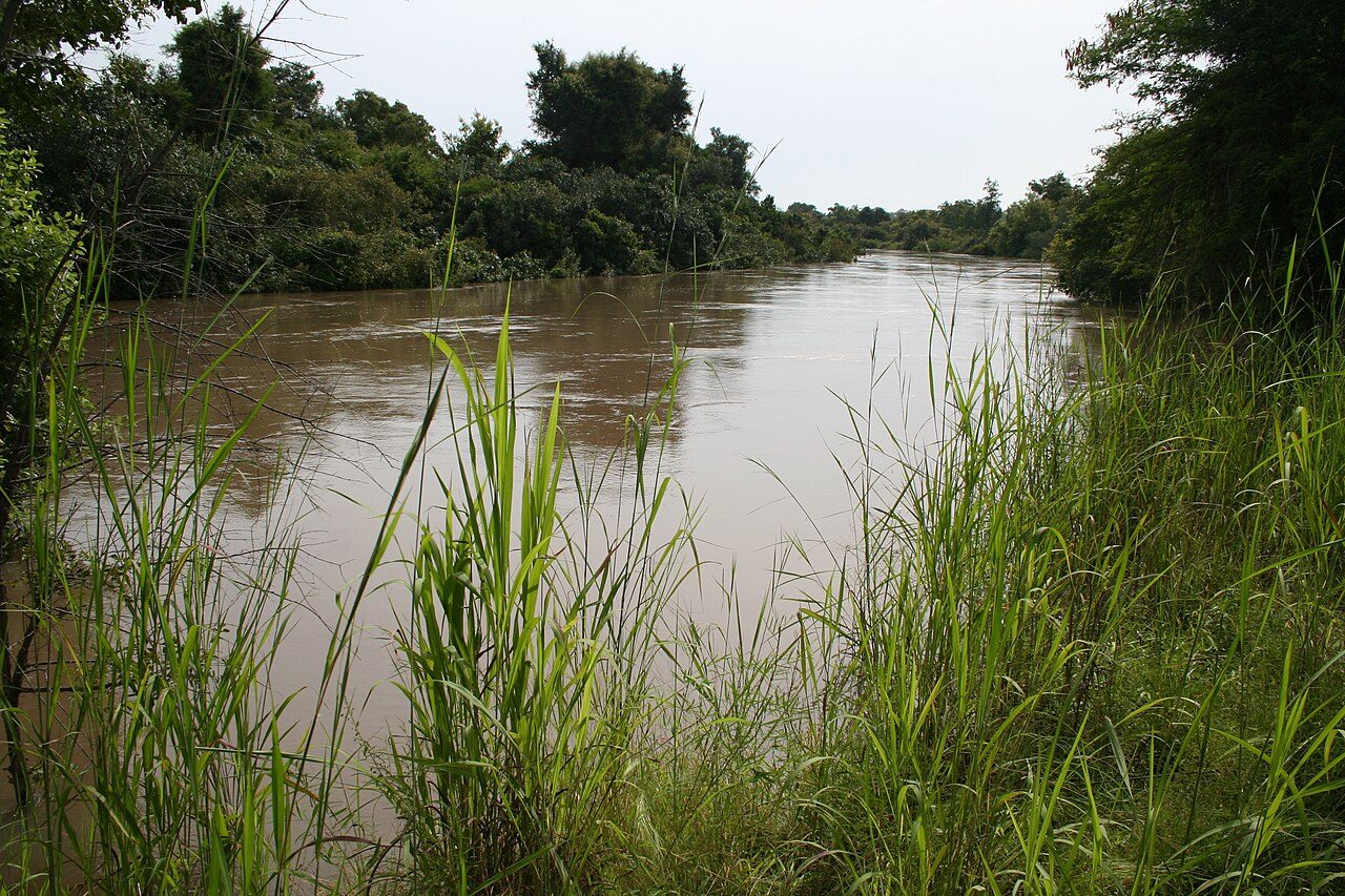
Photo: Marco Schmidt via Wikimedia Commons, CC BY-SA 3.0. Cropped and resized for display.
Park facts
| Park type | National Park |
|---|---|
| Location | Benin |
| Area | 2,516,221 acres (1,018,279 ha) |
| Established | 1954 |
| Coordinates | 12.3500° N, 2.3550° E |
Every fact above is taken from the sources listed below; anything no source states is left blank rather than guessed.
About W National Park
The W National Park (French: Parc national du W) or W Regional Park (French: W du Niger) is a major national park in West Africa around a meander in the Niger River shaped like the letter W (French: double v). The park includes areas of the three countries Niger, Benin and Burkina Faso, and is governed by the three governments. Until 2008, the implementation of a regional management was supported by the EU-funded project ECOPAS (Protected Ecosystems in Sudano-Sahelian Africa, French: Écosystèmes protégés en Afrique soudano-sahélienne). The three national parks operate under the name W Transborder Park (French: Parc régional W).
Description from the park's Wikipedia article (CC BY-SA), linked in the sources below.
Airports near this park
The airports a visitor would actually fly into, nearest first — each link opens its profile on our sister site AirportProfiles.
- Diori Hamani International Airport (NIM) · Niamey, Niger · 79.0 miles away
- Sir Ahmadu Bello International Airport · Birinin Kebbi, Nigeria · 136.2 miles away
Parks nearby

More parks in Benin
Frequently asked questions
Where is W National Park?
W National Park is in Benin (12.3500° N, 2.3550° E).
When was W National Park established?
W National Park was established in 1954, per the source listed at the foot of this page.
How big is W National Park?
W National Park covers 2,516,221 acres (1,018,279 ha).
Sources
- https://www.wikidata.org/wiki/Q726863 — Wikidata (CC0) — name, country, coordinates, area, established year, highest point where stated.
- https://en.wikipedia.org/wiki/W_National_Park — Wikipedia article — description (CC BY-SA).