
National Park · Australia
Warrabah National Park
Warrabah National Park is a national park in Australia, covering 12,884 acres (5,214 ha), established in 1984.
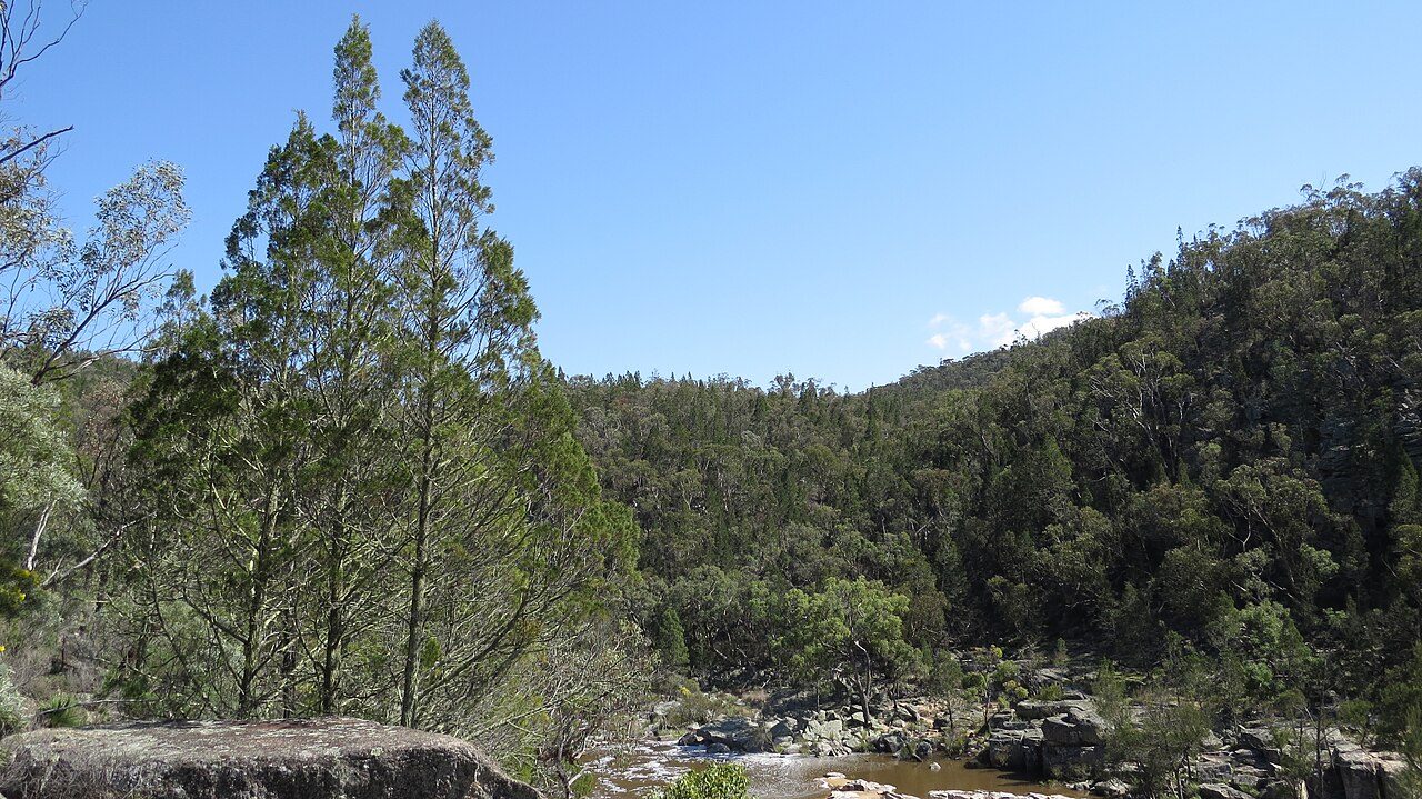
Photo: John Tann from Mullumbimby, Australia via Wikimedia Commons, CC BY 2.0. Cropped and resized for display.
Park facts
| Park type | National Park |
|---|---|
| Location | Australia |
| Area | 12,884 acres (5,214 ha) |
| Established | 1984 |
| Coordinates | 30.5317° S, 150.9344° E |
Every fact above is taken from the sources listed below; anything no source states is left blank rather than guessed.
About Warrabah National Park
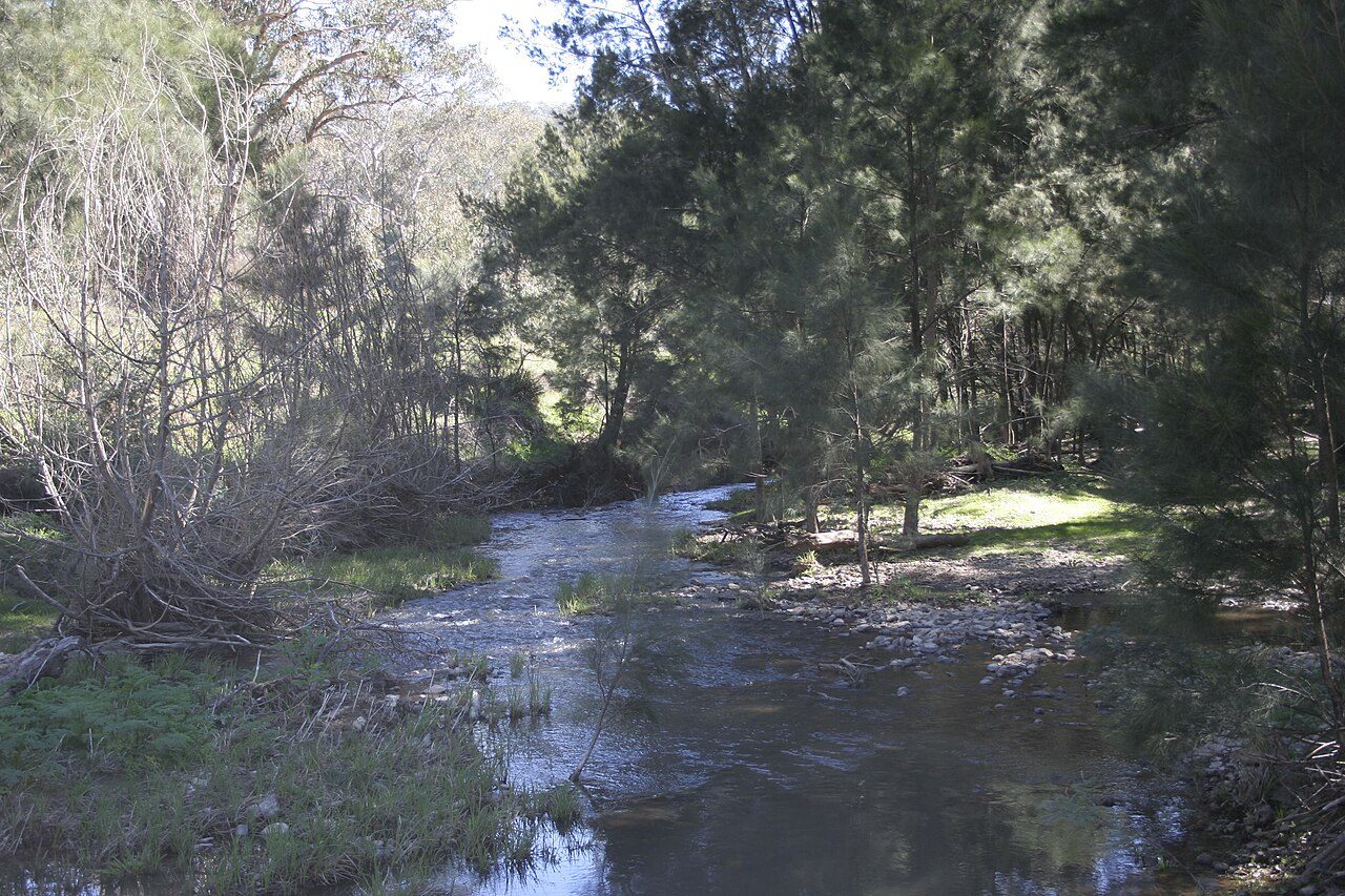
Warrabah is a national park in New South Wales, Australia, 371 km (231 mi) north of Sydney. It is situated west of Kingstown and east of Split Rock Dam. The major feature of the park is the Namoi River which carves a 15 km (9.3 mi) gorge that drops 245 m (804 ft). Activities in the park include canoeing, li-loing, rock climbing and bush walking. The average elevation of the terrain is 759 metres. Over 120 bird species have been spotted here. Among others there are robins, rosellas and cockatoos to wedge-tailed eagles and wrens.
Description from the park's Wikipedia article (CC BY-SA), linked in the sources below.
Planning your visit
What to do
Like Warrabah National Park? Visit Warrabah National Park’s official park page for hours and current conditions before you travel.
Airports near this park
The airports a visitor would actually fly into, nearest first — each link opens its profile on our sister site AirportProfiles.
- Tamworth Airport (TMW) · Tamworth, Australia · 38.1 miles away
- Armidale Airport (ARM) · Armidale, Australia · 40.6 miles away
- Narrabri Airport (NAA) · Narrabri, Australia · 67.6 miles away
Parks nearby
More parks in Australia

Frequently asked questions
Where is Warrabah National Park?
Warrabah National Park is in Australia (30.5317° S, 150.9344° E).
When was Warrabah National Park established?
Warrabah National Park was established in 1984, per the source listed at the foot of this page.
How big is Warrabah National Park?
Warrabah National Park covers 12,884 acres (5,214 ha).
Sources
- https://www.wikidata.org/wiki/Q1583699 — Wikidata (CC0) — name, country, coordinates, area, established year, highest point where stated.
- https://en.wikipedia.org/wiki/Warrabah_National_Park — Wikipedia article — description (CC BY-SA).