
State Park · Washington, United States
Westport Light State Park
Westport Light State Park is a state park in Washington, United States.
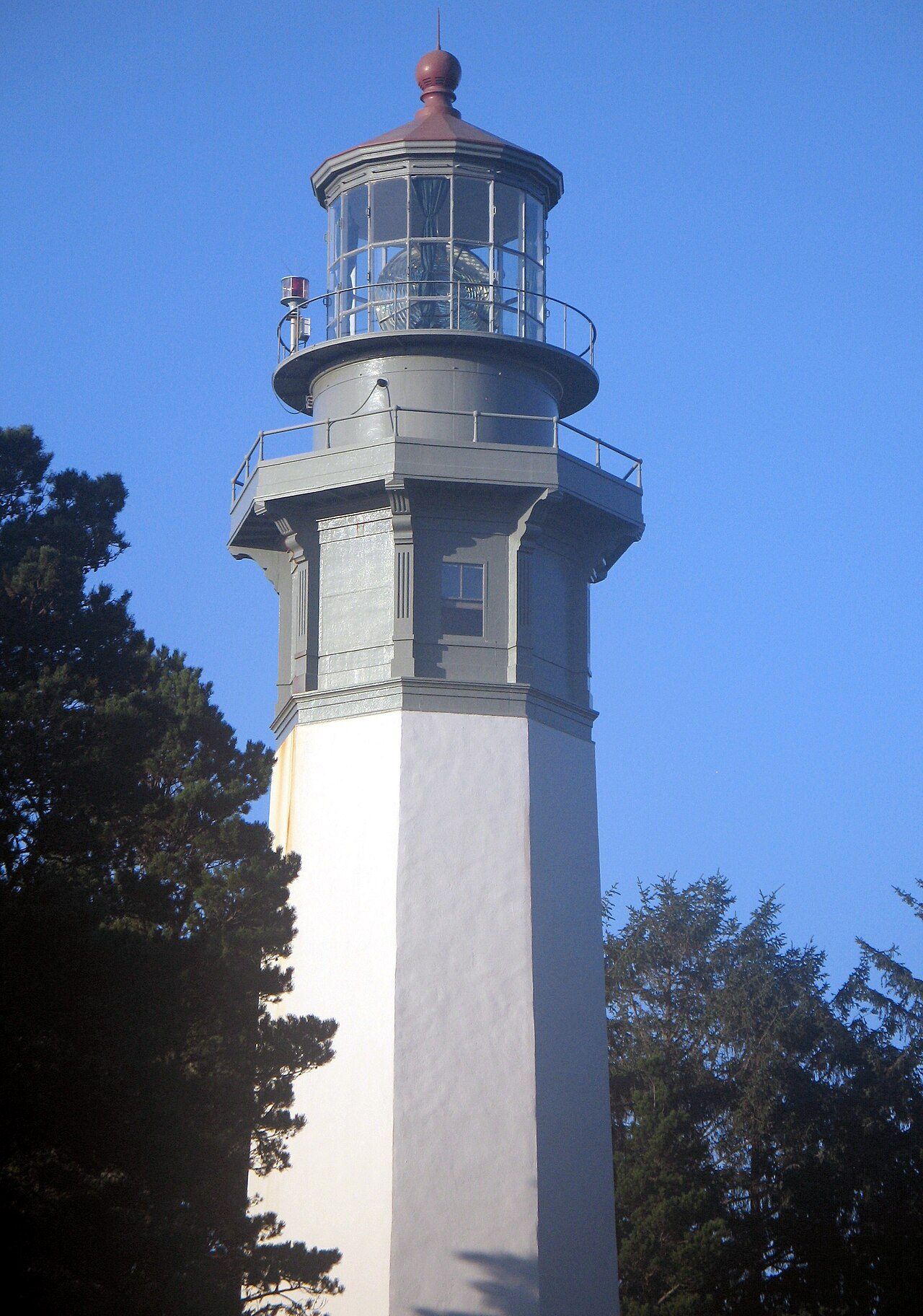
Photo: Kathy Calm via Wikimedia Commons, CC BY 3.0. Cropped and resized for display.
Park facts
| Park type | State Park |
|---|---|
| Location | Grays, Washington, United States |
| Coordinates | 46.8929° N, 124.1240° W |
| Managed by | Washington state park system |
Every fact above is taken from the sources listed below; anything no source states is left blank rather than guessed.
About Westport Light State Park
Westport Light State Park is a public recreation area of 560 acres (230 ha) on the Pacific Ocean in Grays Harbor County, Washington. It sits adjacent to the historic Grays Harbor Light, the tallest lighthouse in Washington. The park was combined with the former Westhaven State Park and an additional 270-acre (110 ha) parcel that had been under development as a golf course since 2016. The proposed 18-hole links golf course would be developed by a private company under a long-term lease and concession agreement with the state government. Park activities include hiking, fishing, beachcombing, and birdwatching.
Description from the park's Wikipedia article (CC BY-SA), linked in the sources below.
Planning your visit
What to do
Airports near this park
The airports a visitor would actually fly into, nearest first — each link opens its profile on our sister site AirportProfiles.
- Seattle–Tacoma International Airport (SEA) · Seattle, United States · 93.4 miles away
- Portland International Airport (PDX) · Portland, United States · 115.9 miles away
- Victoria International Airport (YYJ) · Victoria, Canada · 125.4 miles away
Parks nearby
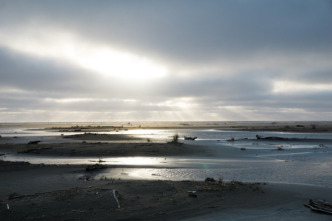
More parks in Washington
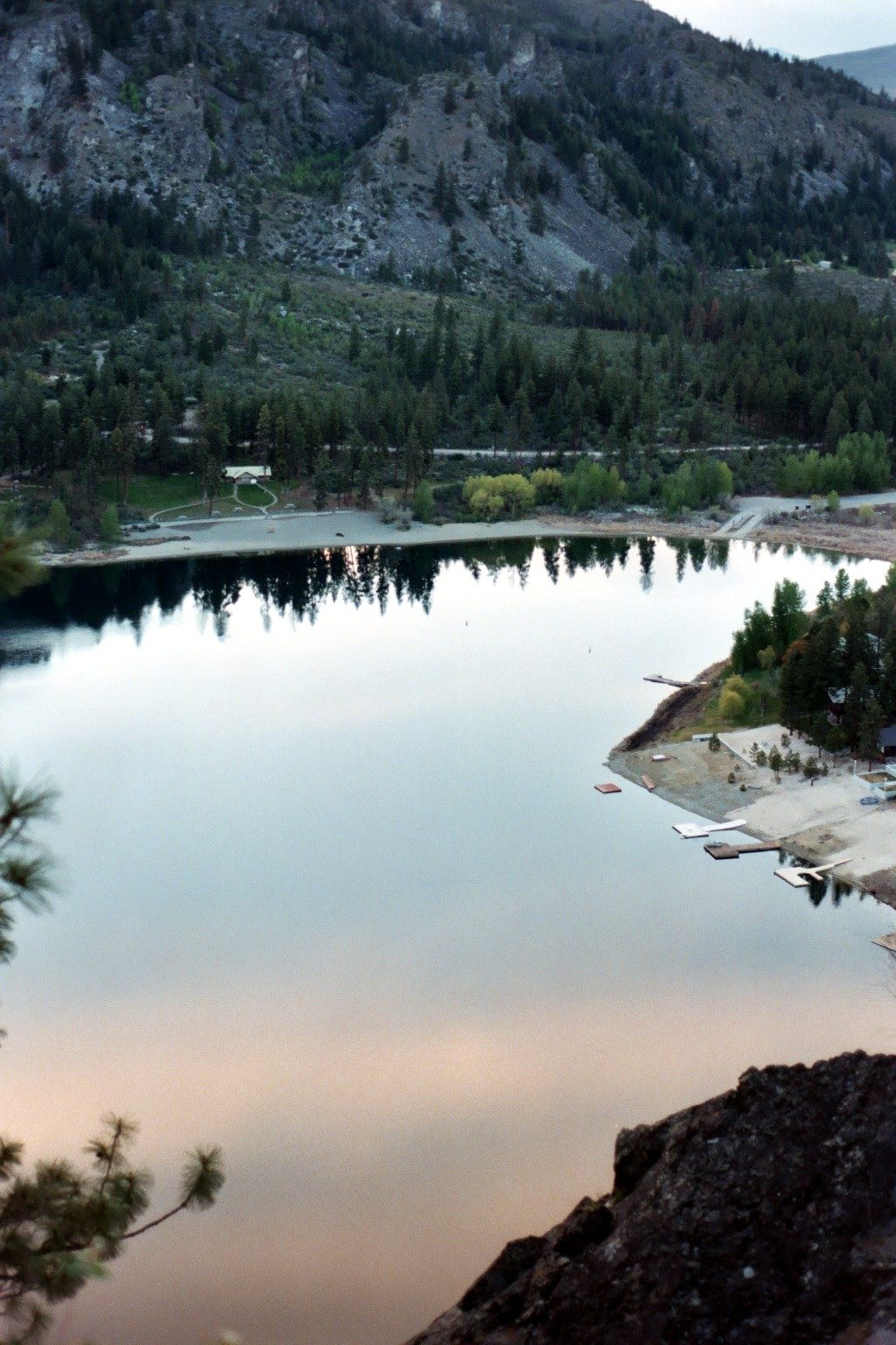
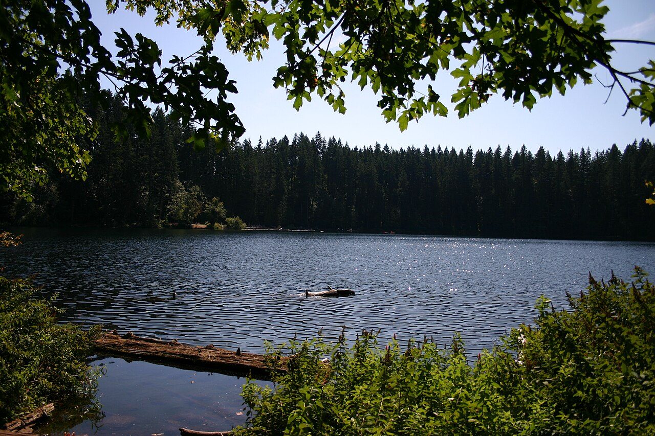
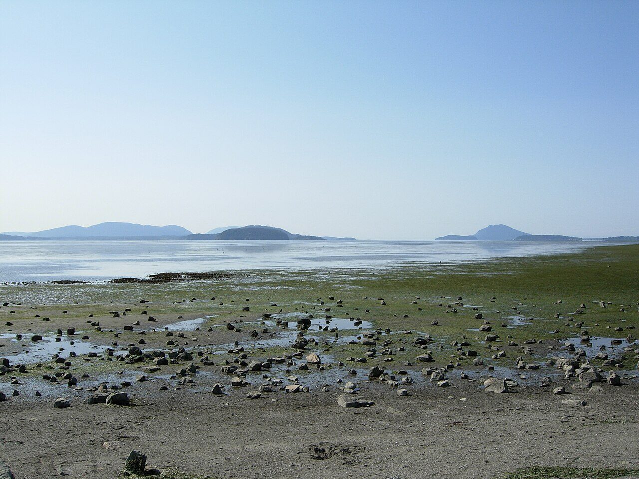
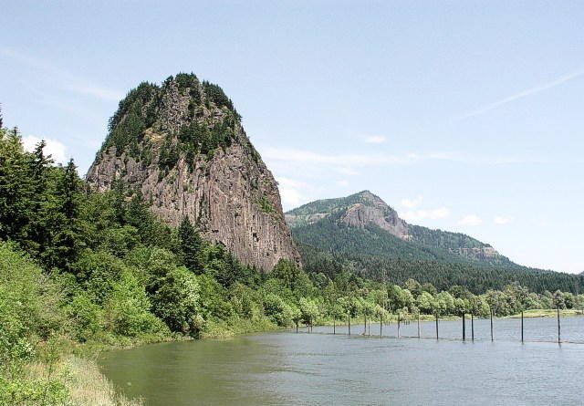
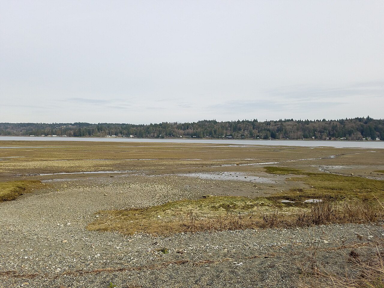
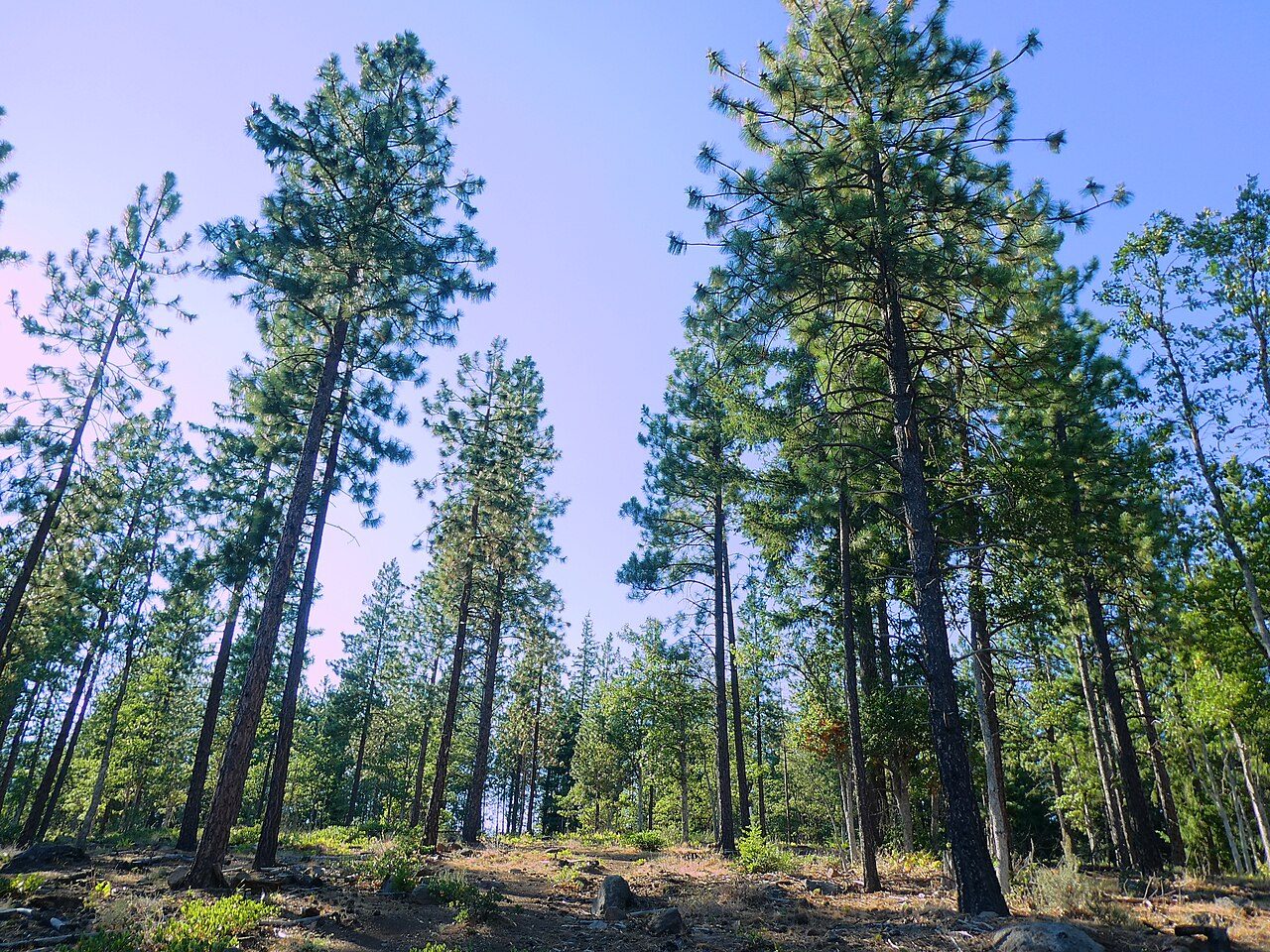
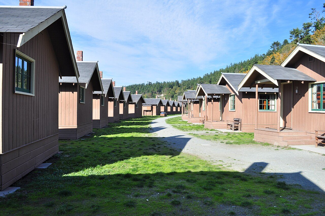

Frequently asked questions
Where is Westport Light State Park?
Westport Light State Park is in Washington, United States (46.8929° N, 124.1240° W).
Sources
- https://en.wikipedia.org/wiki/List_of_Washington_state_parks — Wikipedia list of Washington state parks — park name, county/location, size, year where the table states them.
- https://en.wikipedia.org/wiki/Westport_Light_State_Park — Wikipedia article — description (CC BY-SA).