
National Park · Australia
Yalgorup National Park
Yalgorup National Park is a national park in Australia, covering 54.0 acres (21.9 ha), established in 1966.
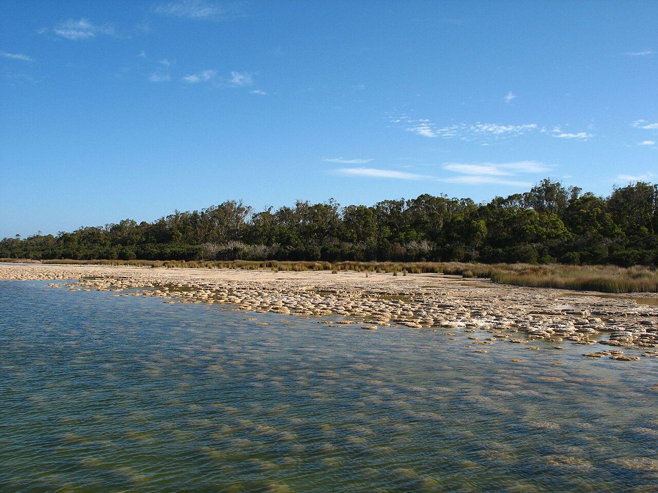
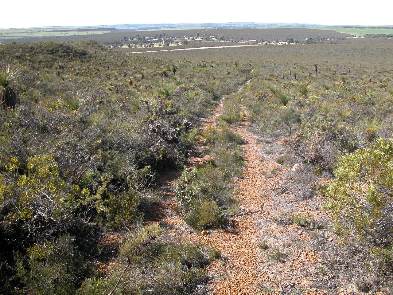
Photo: C Eeckhout via Wikimedia Commons, CC BY 3.0. Cropped and resized for display.
Park facts
| Park type | National Park |
|---|---|
| Location | Australia |
| Area | 54.0 acres (21.9 ha) |
| Established | 1966 |
| Coordinates | 32.8572° S, 115.6720° E |
Every fact above is taken from the sources listed below; anything no source states is left blank rather than guessed.
About Yalgorup National Park
Yalgorup National Park is a national park in Western Australia, 105 km south of Perth, and directly south of Mandurah. The park is located on the western edge of the Swan Coastal Plain and contains a chain of about ten lakes; the name rises from the two Noongar words Yalgor meaning lake and -up meaning place of. The area is part of the Peel-Yalgorup Wetland system, which is classified as a Ramsar Wetland Site and was added to the List of Ramsar wetlands of international importance in 1990. Some of the lakes that make up the system include Boundary Lake, Swan Pond, Lake Pollard, Lake Yalgorup and Newnham Lake.
Description from the park's Wikipedia article (CC BY-SA), linked in the sources below.
Airports near this park
The airports a visitor would actually fly into, nearest first — each link opens its profile on our sister site AirportProfiles.
- Perth International Airport (PER) · Perth, Australia · 65.6 miles away
Parks nearby
More parks in Australia

Frequently asked questions
Where is Yalgorup National Park?
Yalgorup National Park is in Australia (32.8572° S, 115.6720° E).
When was Yalgorup National Park established?
Yalgorup National Park was established in 1966, per the source listed at the foot of this page.
How big is Yalgorup National Park?
Yalgorup National Park covers 54.0 acres (21.9 ha).
Sources
- https://www.wikidata.org/wiki/Q1130056 — Wikidata (CC0) — name, country, coordinates, area, established year, highest point where stated.
- https://en.wikipedia.org/wiki/Yalgorup_National_Park — Wikipedia article — description (CC BY-SA).