
National Park · Canada
Yoho National Park
Yoho National Park is a national park in Canada, covering 324,474 acres (131,310 ha), established in 1886.

Photo: Jack Borno via Wikimedia Commons, CC BY-SA 3.0. Cropped and resized for display.
Park facts
| Park type | National Park |
|---|---|
| Location | Canada |
| Area | 324,474 acres (131,310 ha) |
| Established | 1886 |
| Highest point | Mount Goodsir — 3,567 m (11,703 ft) |
| Coordinates | 51.3953° N, 116.4870° W |
Every fact above is taken from the sources listed below; anything no source states is left blank rather than guessed.
About Yoho National Park
Yoho National Park ( YOH-hoh) is a national park of Canada. It is located within the Rocky Mountains along the western slope of the Continental Divide of the Americas in southeastern British Columbia, bordered by Kootenay National Park to the south and Banff National Park to the east in Alberta. The park features a spectacular landscape of massive ice fields and mountain peaks, which rank among the highest in the Canadian Rockies.
Description from the park's Wikipedia article (CC BY-SA), linked in the sources below.
Planning your visit
Best time to visit
July to late September — prime hiking season
What to do
Getting there
| Nearest town | Field, British Columbia, Canada |
|---|
Where to stay
| Campgrounds | Yes |
|---|---|
| Lodges | Lake O'Hara Lodge inside the park; lodges in Field |
Famous trails
- Lake O'Hara Lakeshore Trail — 1.7 miles (2.8 km)
- Lake Oesa Trail — 2.0 miles (3.2 km)
- Opabin Plateau Circuit — 3.7 miles (5.9 km)
- Lake McArthur Trail — 5.0 miles (8 km)
- Emerald Lake Lakeshore Trail — 3.2 miles (5.2 km)
Like Yoho National Park? Visit Yoho National Park’s official park page for hours and current conditions before you travel.
Airports near this park
The airports a visitor would actually fly into, nearest first — each link opens its profile on our sister site AirportProfiles.
- Calgary International Airport (YYC) · Calgary, Canada · 108.8 miles away
Parks nearby

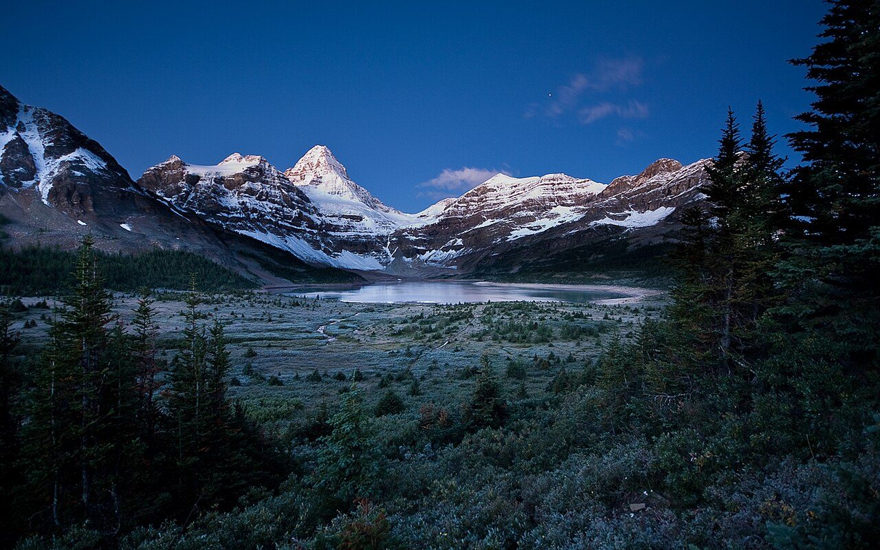
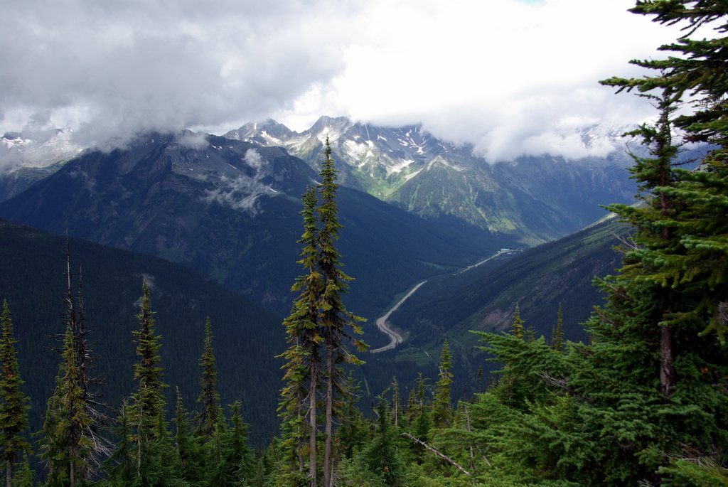
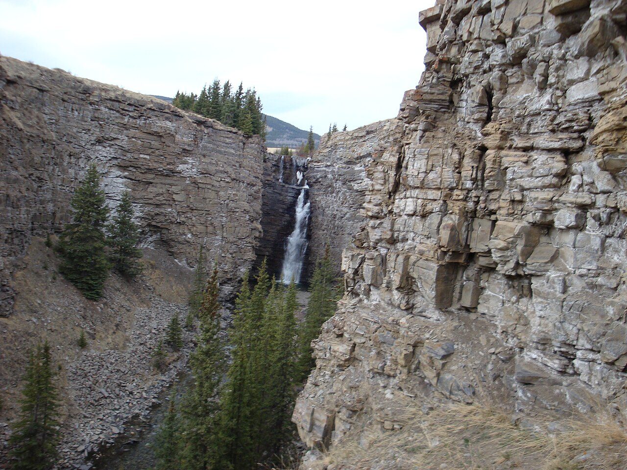
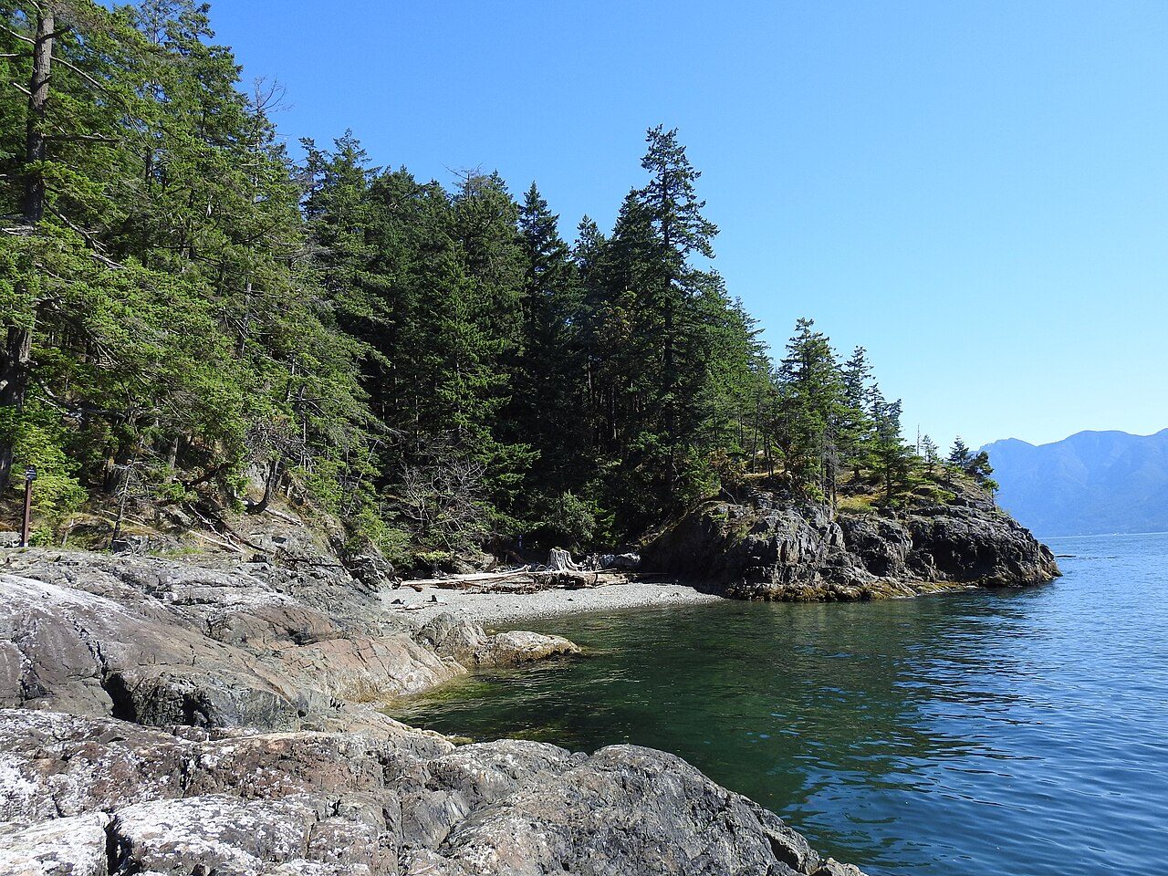
More parks in Canada







Frequently asked questions
Where is Yoho National Park?
Yoho National Park is in Canada (51.3953° N, 116.4870° W).
When was Yoho National Park established?
Yoho National Park was established in 1886, per the source listed at the foot of this page.
How big is Yoho National Park?
Yoho National Park covers 324,474 acres (131,310 ha).
What is the highest point in Yoho National Park?
The highest point is Mount Goodsir, at 3,567 metres (11,703 ft).
When is the best time to visit Yoho National Park?
July to late September — prime hiking season.
Does Yoho National Park have campgrounds?
Yes — Yoho National Park has campgrounds.
How do I get to Yoho National Park?
The nearest town is Field, British Columbia, Canada.
Sources
- https://www.wikidata.org/wiki/Q828404 — Wikidata (CC0) — name, country, coordinates, area, established year, highest point where stated.
- https://en.wikipedia.org/wiki/Yoho_National_Park — Wikipedia article — description (CC BY-SA).
- https://www.pc.gc.ca/en/pn-np/bc/yoho/activ/randonnee-hike/ohara/visit — Best time to visit, as stated by the source.
- https://faszination-kanada.com/en/yoho-national-park/ — Activities offered, as stated by the source.