
State Park · Oregon, United States
Alderwood State Wayside
Alderwood State Wayside is a state park in Oregon, United States, established in 1931.
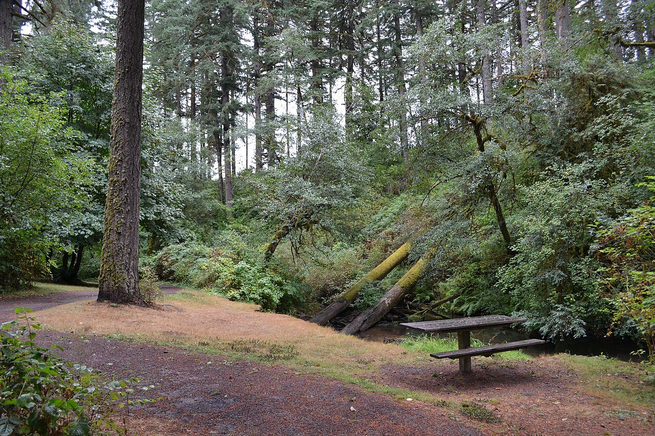
Photo: Visitor7 via Wikimedia Commons, CC BY-SA 3.0. Cropped and resized for display.
Park facts
| Park type | State Park |
|---|---|
| Location | Willamette Valley, Oregon, United States |
| Established | 1931 |
| Coordinates | 44.1551° N, 123.4230° W |
| Managed by | Oregon state park system |
Every fact above is taken from the sources listed below; anything no source states is left blank rather than guessed.
About Alderwood State Wayside
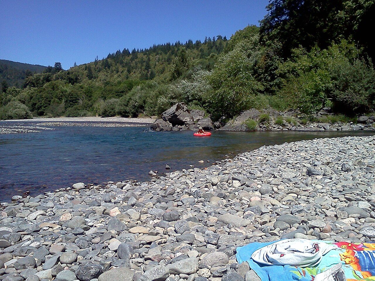
Alderwood State Wayside is a state park on Oregon Route 36 in the U.S. state of Oregon. Administered by the Oregon Parks and Recreation Department, the day-use wayside covers about 76 acres (31 ha). It is open year-round and attracts about 45,000 visitors annually. The state acquired the land for the park from Lane County in 1931 and the Civilian Conservation Corps developed the picnic site in about 1935. Amenities include picnic tables, toilets, and a hiking trail along the Long Tom River, which flows through the park. Flora at Alderwood includes big Douglas firs, Pacific dogwoods and bigleaf maples.
Description from the park's Wikipedia article (CC BY-SA), linked in the sources below.
Planning your visit
Best time to visit
Open year-round
What to do
Airports near this park
The airports a visitor would actually fly into, nearest first — each link opens its profile on our sister site AirportProfiles.
- Portland International Airport (PDX) · Portland, United States · 107.0 miles away
Parks nearby
Washburne State Wayside
Thompson's Mills State Heritage Site
Jasper State Recreation Site
Ellmaker State Wayside
Darlingtonia State Natural Site
Muriel O. Ponsler Memorial State Scenic Viewpoint
More parks in Oregon

Frequently asked questions
Where is Alderwood State Wayside?
Alderwood State Wayside is in Oregon, United States (44.1551° N, 123.4230° W).
When was Alderwood State Wayside established?
Alderwood State Wayside was established in 1931, per the source listed at the foot of this page.
When is the best time to visit Alderwood State Wayside?
Open year-round.
Sources
- https://en.wikipedia.org/wiki/List_of_Oregon_state_parks — Wikipedia list of Oregon state parks — park name, county/location, size, year where the table states them.
- https://en.wikipedia.org/wiki/Alderwood_State_Wayside — Wikipedia article — description (CC BY-SA).