
National Battlefield · Maryland, United States
Antietam National Battlefield
Antietam National Battlefield is a national battlefield in Maryland, United States, covering 3,288 acres (1,330 ha), established in 1890.
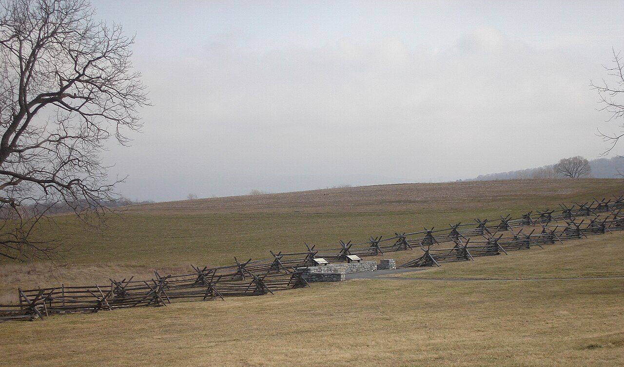
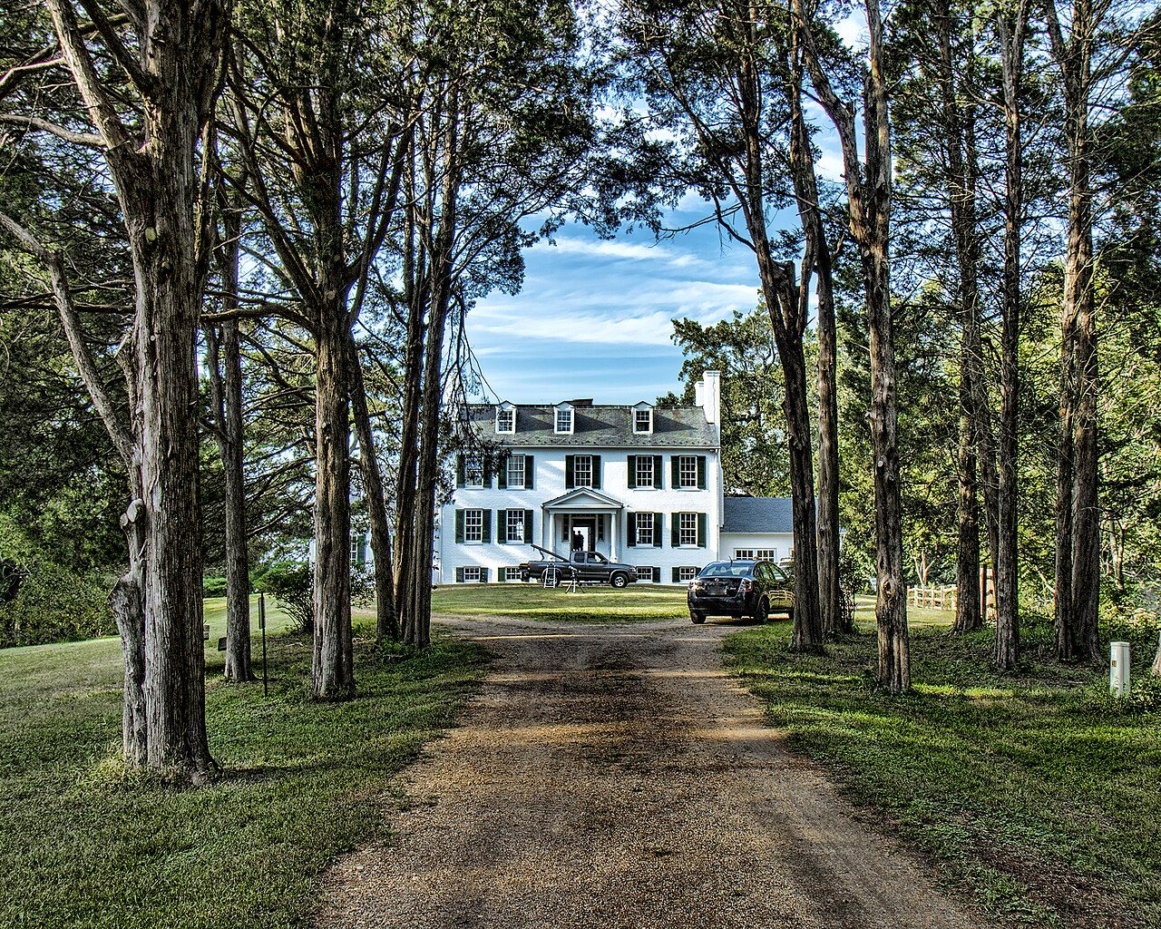
Photo: Sswonk via Wikimedia Commons, Public domain. Cropped and resized for display.
Park facts
| Park type | National Battlefield |
|---|---|
| Location | Maryland, United States |
| Area | 3,288 acres (1,330 ha) |
| Established | 1890 |
| Coordinates | 39.4700° N, 77.7400° W |
| Managed by | National Park Service |
Every fact above is taken from the sources listed below; anything no source states is left blank rather than guessed.
About Antietam National Battlefield
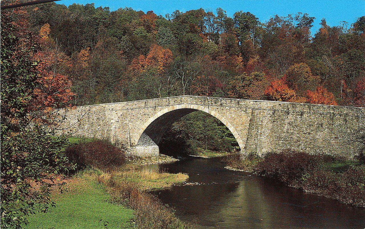
Antietam National Battlefield is a National Park Service-protected area along Antietam Creek in Sharpsburg, Washington County, northwestern Maryland. It commemorates the American Civil War Battle of Antietam that occurred on September 17, 1862. The area, situated on fields among the Appalachian foothills near the Potomac River, features the battlefield site and visitor center, a national military cemetery, stone arch Burnside's Bridge, and a field hospital museum.
Description from the park's Wikipedia article (CC BY-SA), linked in the sources below.
Like Antietam National Battlefield? Visit Antietam National Battlefield’s official park page for hours and current conditions before you travel.
Airports near this park
The airports a visitor would actually fly into, nearest first — each link opens its profile on our sister site AirportProfiles.
- Washington Dulles International Airport (IAD) · Dulles, United States · 39.4 miles away
- Ronald Reagan Washington National Airport (DCA) · Washington, United States · 56.9 miles away
- Baltimore/Washington International Thurgood Marshall Airport (BWI) · Baltimore, United States · 60.8 miles away
Parks nearby
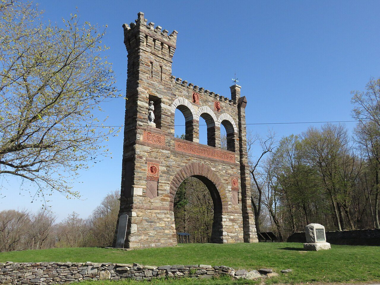
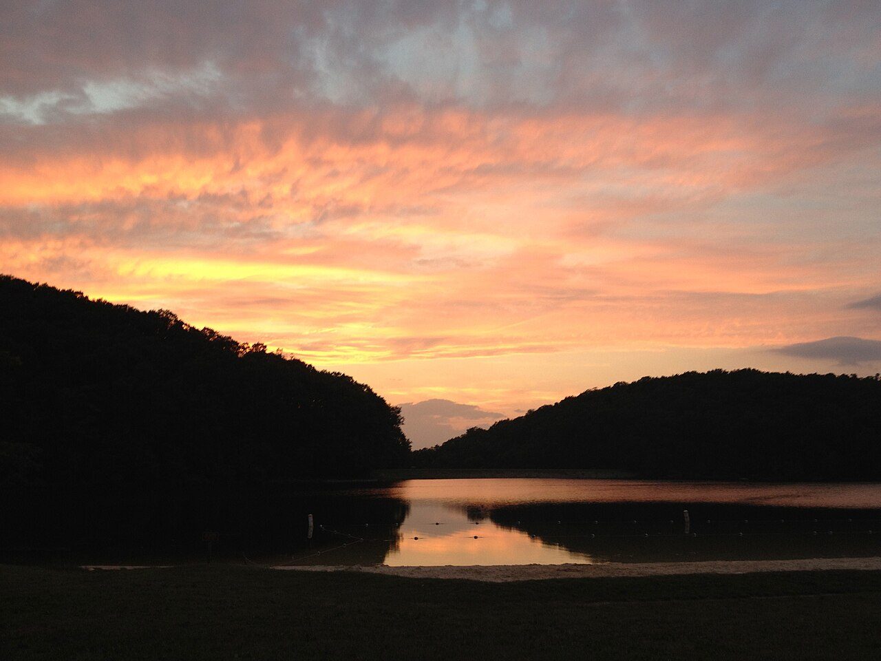
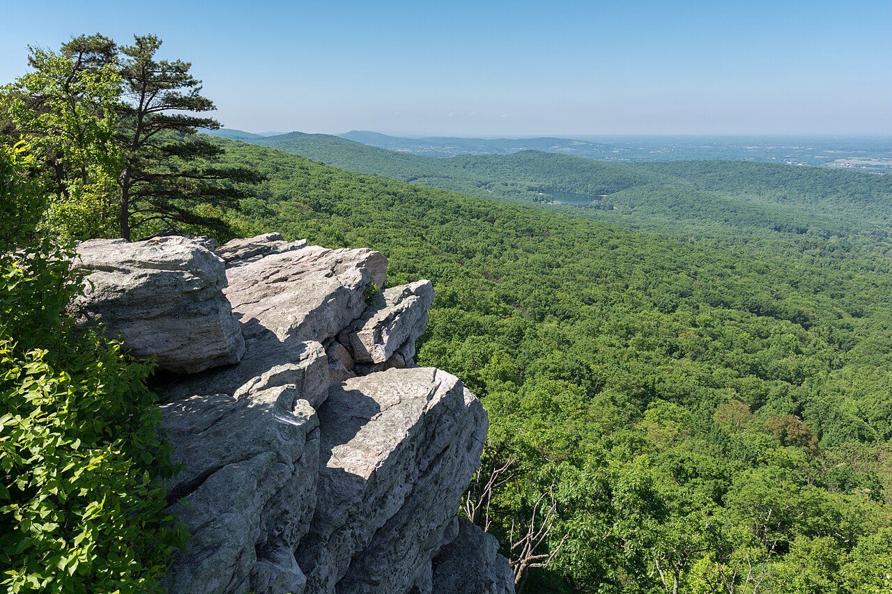
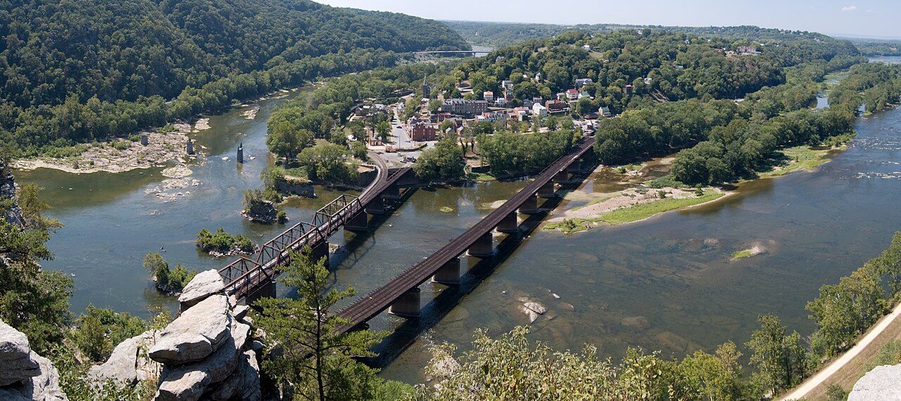
More parks in Maryland
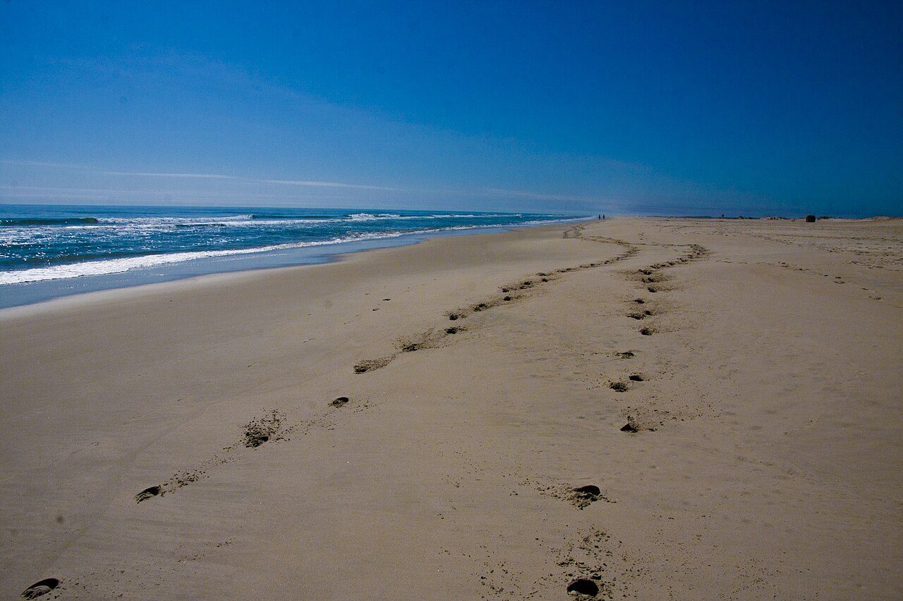
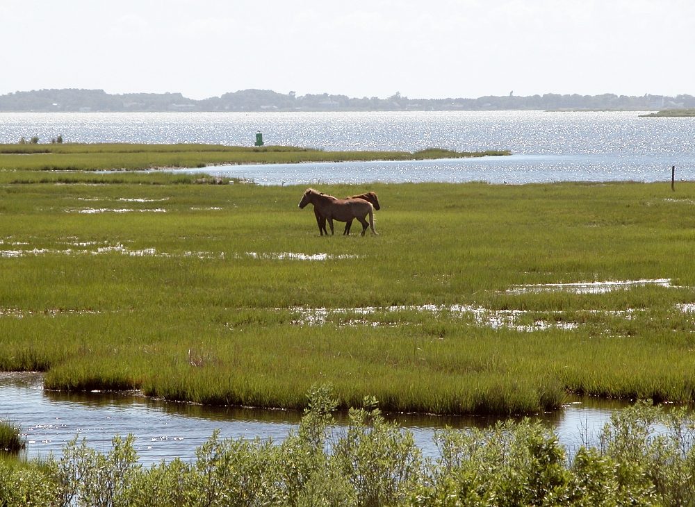
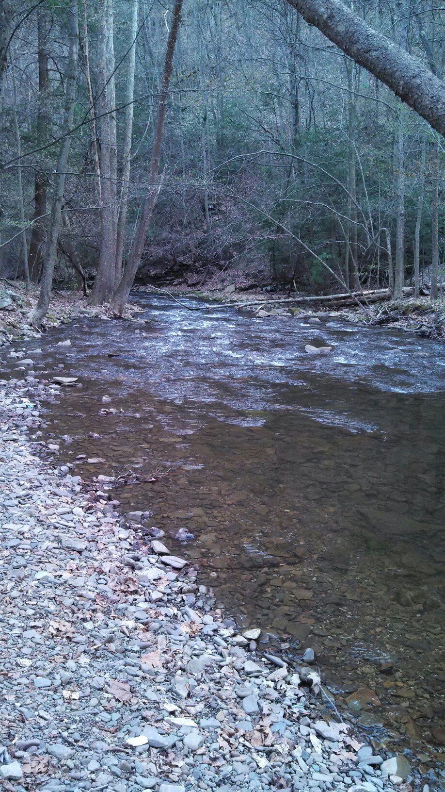

Frequently asked questions
Where is Antietam National Battlefield?
Antietam National Battlefield is in Maryland, United States (39.4700° N, 77.7400° W).
When was Antietam National Battlefield established?
Antietam National Battlefield was established in 1890, per the source listed at the foot of this page.
How big is Antietam National Battlefield?
Antietam National Battlefield covers 3,288 acres (1,330 ha).
Sources
- https://en.wikipedia.org/wiki/List_of_the_United_States_National_Park_System_official_units — Wikipedia list of National Park System official units — unit name, state, official designation.
- https://en.wikipedia.org/wiki/List_of_areas_in_the_United_States_National_Park_System — Wikipedia list of National Park System areas — year established and gross area.
- https://en.wikipedia.org/wiki/Antietam_National_Battlefield — Wikipedia article — description (CC BY-SA).
- https://www.nps.gov/anti/ — Official park page.