
State Park · Maryland, United States
Black Walnut Point Natural Resources Management Area
Black Walnut Point Natural Resources Management Area is a state park in Maryland, United States, covering 58.0 acres (23.5 ha).
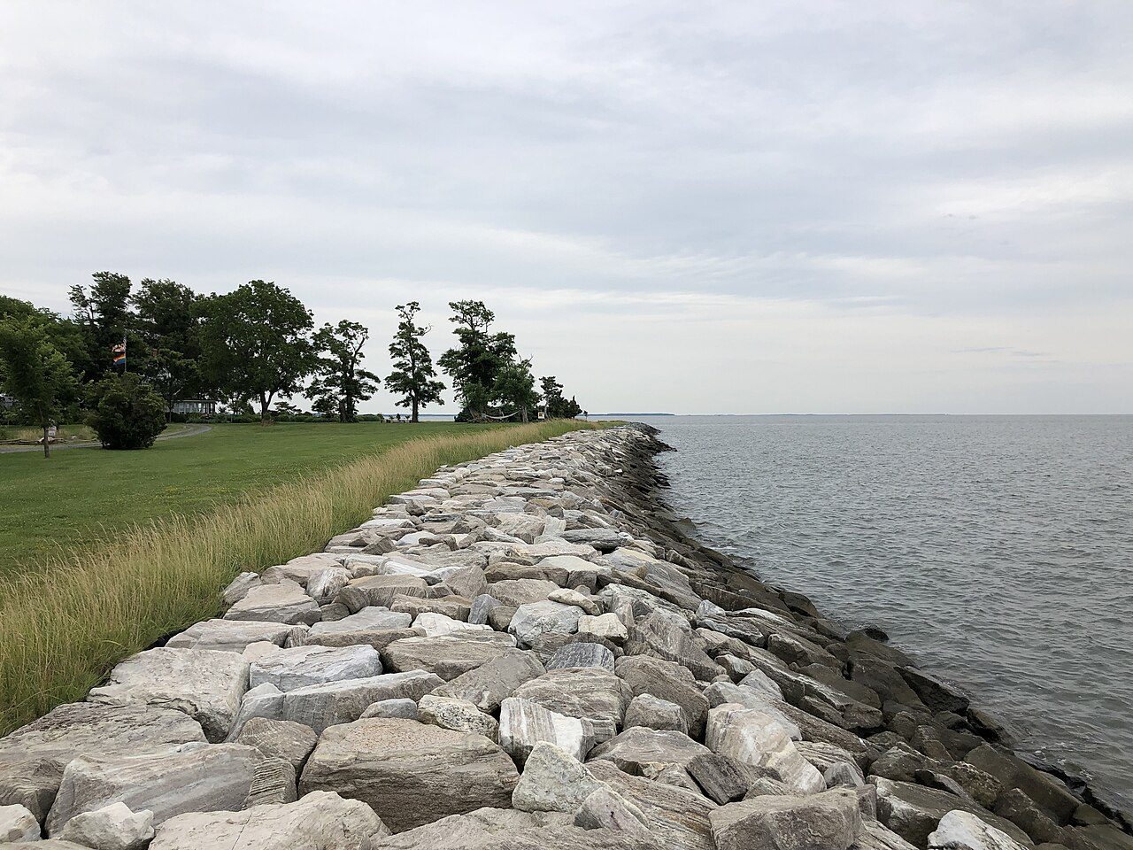
Photo: Famartin via Wikimedia Commons, CC BY-SA 4.0. Cropped and resized for display.
Park facts
| Park type | State Park |
|---|---|
| Location | Talbot, Maryland, United States |
| Area | 58.0 acres (23.5 ha) |
| Coordinates | 38.6790° N, 76.3410° W |
| Managed by | Maryland state park system |
Every fact above is taken from the sources listed below; anything no source states is left blank rather than guessed.
About Black Walnut Point Natural Resources Management Area
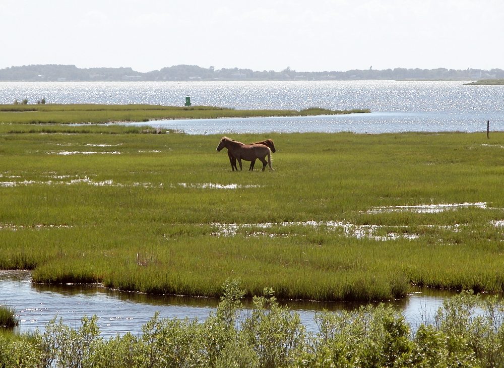
Black Walnut Point Natural Resources Management Area (NRMA) is a 58-acre Maryland state park located on the southern tip of Tilghman Island in Talbot County, Maryland. The park sits at the confluence of the Chesapeake Bay and the Choptank River. It is operated by the Maryland Park Service. The 6 acres at the tip of the park are leased to the Black Walnut Point Inn, a private bed-and-breakfast.
Description from the park's Wikipedia article (CC BY-SA), linked in the sources below.
Airports near this park
The airports a visitor would actually fly into, nearest first — each link opens its profile on our sister site AirportProfiles.
- Baltimore/Washington International Thurgood Marshall Airport (BWI) · Baltimore, United States · 38.5 miles away
- Ronald Reagan Washington National Airport (DCA) · Washington, United States · 39.4 miles away
- Washington Dulles International Airport (IAD) · Dulles, United States · 62.8 miles away
Parks nearby
More parks in Maryland

Frequently asked questions
Where is Black Walnut Point Natural Resources Management Area?
Black Walnut Point Natural Resources Management Area is in Maryland, United States (38.6790° N, 76.3410° W).
How big is Black Walnut Point Natural Resources Management Area?
Black Walnut Point Natural Resources Management Area covers 58.0 acres (23.5 ha).
Sources
- https://en.wikipedia.org/wiki/List_of_Maryland_state_parks — Wikipedia list of Maryland state parks — park name, county/location, size, year where the table states them.
- https://en.wikipedia.org/wiki/Black_Walnut_Point_Natural_Resources_Management_Area — Wikipedia article — description (CC BY-SA).