
State Recreation Area · California, United States
Auburn State Recreation Area
Auburn State Recreation Area is a state recreation area in California, United States.
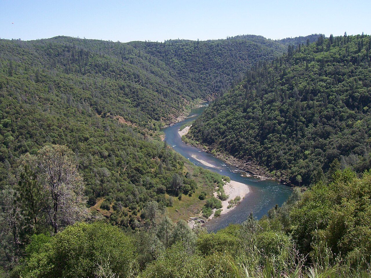
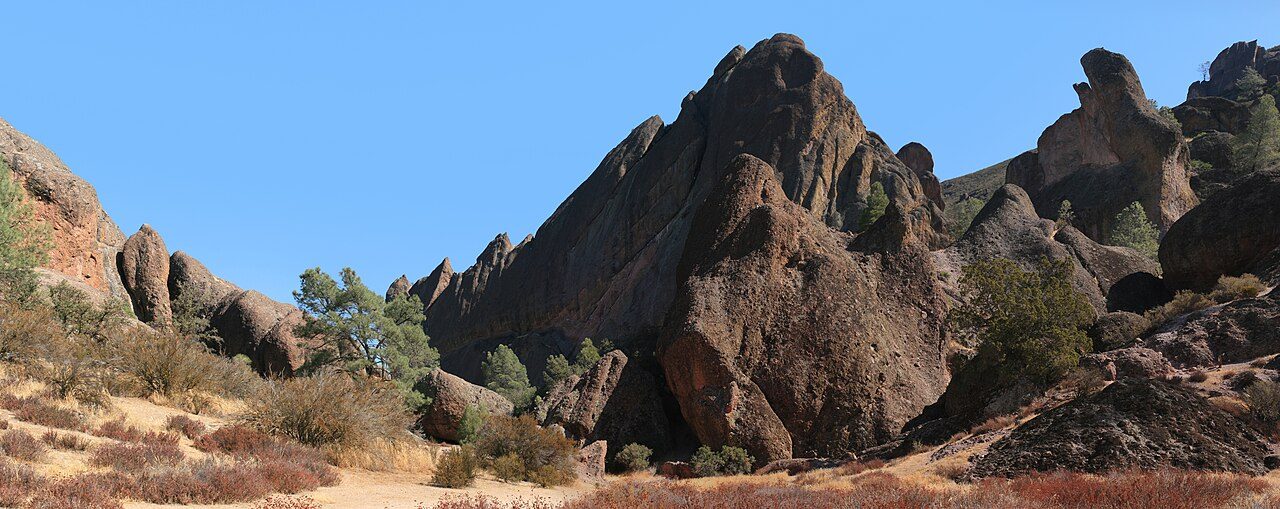
Photo: Faustian at English Wikipedia via Wikimedia Commons, CC BY-SA 3.0. Cropped and resized for display.
Park facts
| Park type | State Recreation Area |
|---|---|
| Location | El Dorado and Placer, California, United States |
| Coordinates | 38.9158° N, 121.0410° W |
| Managed by | California state park system |
Every fact above is taken from the sources listed below; anything no source states is left blank rather than guessed.
About Auburn State Recreation Area
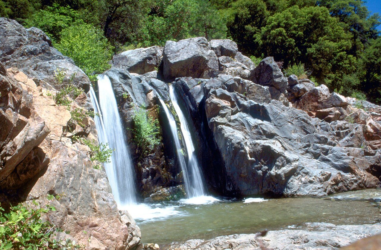
Auburn State Recreation Area is a state park unit of California, along 40 miles (64 km) of the North and Middle Forks of the American River. The state recreation area (SRA) is situated on the border of Placer and El Dorado Counties in the heart of historic Gold Country. The largest city with close proximity is the city of Auburn. Once teeming with gold mining activity, the area now offers a wide variety of outdoor recreational opportunities. Major recreational uses include trail running, hiking, swimming, boating, fishing, camping, mountain biking, gold panning, horseback riding, road bicycling, and off-highway motorcycle riding.
Description from the park's Wikipedia article (CC BY-SA), linked in the sources below.
Planning your visit
What to do
Airports near this park
The airports a visitor would actually fly into, nearest first — each link opens its profile on our sister site AirportProfiles.
- Sacramento International Airport (SMF) · Sacramento, United States · 33.3 miles away
- Reno Tahoe International Airport (RNO) · Reno, United States · 79.2 miles away
- Oakland San Francisco Bay Airport (OAK) · Oakland, United States · 104.5 miles away
Parks nearby
More parks in California

Frequently asked questions
Where is Auburn State Recreation Area?
Auburn State Recreation Area is in California, United States (38.9158° N, 121.0410° W).
Sources
- https://en.wikipedia.org/wiki/List_of_California_state_parks — Wikipedia list of California state parks — park name, county/location, size, year where the table states them.
- https://en.wikipedia.org/wiki/Auburn_State_Recreation_Area — Wikipedia article — description (CC BY-SA).