
State Recreation Area · California, United States
Benbow State Recreation Area
Benbow State Recreation Area is a state recreation area in California, United States.
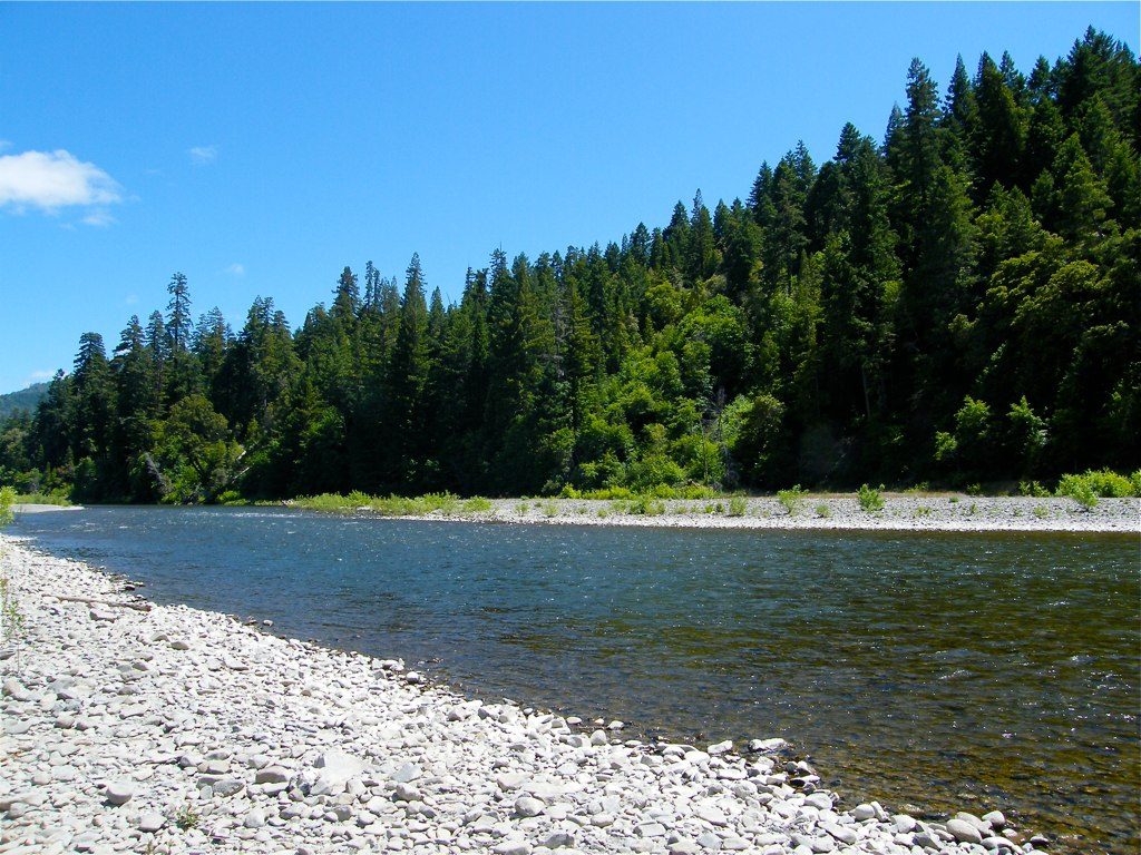
Photo: humboldthead via Wikimedia Commons, CC BY 2.0. Cropped and resized for display.
Park facts
| Park type | State Recreation Area |
|---|---|
| Location | Humboldt, California, United States |
| Coordinates | 40.0619° N, 123.7933° W |
| Managed by | California state park system |
Every fact above is taken from the sources listed below; anything no source states is left blank rather than guessed.
About Benbow State Recreation Area
Benbow State Recreation Area is a state park unit of the state of California in the United States. It is located in Humboldt County 2 miles (3.2 km) south of Garberville on U.S. Route 101 on the South Fork Eel River. Benbow dam was constructed across the South Fork Eel River in 1931 to provide hydroelectric power for development in Garberville, impounding a reservoir. The Benbow family, interested in preserving the natural scene along the river, made efforts to place the land under state protection. In 1956 funds were approved for the Benbow Project and the first 207 acres (84 ha) were purchased in 1958.
Description from the park's Wikipedia article (CC BY-SA), linked in the sources below.
Planning your visit
Getting there
| Nearest town | Garberville, California |
|---|---|
| Getting there | about 2 miles south of Garberville |
Airports near this park
The airports a visitor would actually fly into, nearest first — each link opens its profile on our sister site AirportProfiles.
- California Redwood Coast-Humboldt County Airport (ACV) · Arcata/Eureka, United States · 65.4 miles away
- Redding Municipal Airport (RDD) · Redding, United States · 84.9 miles away
- Charles M. Schulz Sonoma County Airport (STS) · Santa Rosa, United States · 119.4 miles away
Parks nearby
Richardson Grove State Park
John B. Dewitt Redwoods State Natural Reserve
Reynolds Wayside Campground
Smithe Redwoods State Natural Reserve
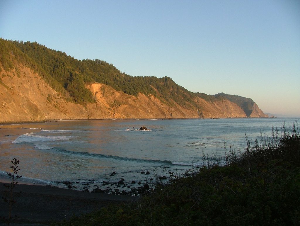
Sinkyone Wilderness State Park
Humboldt Redwoods State Park
More parks in California

Frequently asked questions
Where is Benbow State Recreation Area?
Benbow State Recreation Area is in California, United States (40.0619° N, 123.7933° W).
How do I get to Benbow State Recreation Area?
The nearest town is Garberville, California. about 2 miles south of Garberville.
Sources
- https://en.wikipedia.org/wiki/List_of_California_state_parks — Wikipedia list of California state parks — park name, county/location, size, year where the table states them.
- https://en.wikipedia.org/wiki/Benbow_State_Recreation_Area — Wikipedia article — description (CC BY-SA).