
State Recreation Area · California, United States
Benicia State Recreation Area
Benicia State Recreation Area is a state recreation area in California, United States.
State Recreation Area · California, United States
No freely licensed photograph of this park is in our library yet — rather than borrow a picture of somewhere else, this profile leads with its verified facts.
Park facts
| Park type | State Recreation Area |
|---|---|
| Location | Solano, California, United States |
| Coordinates | 38.0736° N, 122.1930° W |
| Managed by | California state park system |
Every fact above is taken from the sources listed below; anything no source states is left blank rather than guessed.
About Benicia State Recreation Area
Benicia State Recreation Area is a state park unit of California, United States, protecting tidal wetland. It is located in the Solano County city of Benicia, 2 miles (3.2 km) west of downtown Benicia and borders Vallejo's Glen Cove neighborhood. The park covers 447 acres (181 ha) of marsh, grassy hillsides and rocky beaches along the narrowest portion of the Carquinez Strait. Southampton Creek and the tidal marsh front Southampton Bay, where the combined waters of the Sacramento and San Joaquin Rivers approach San Pablo Bay, the northern portion of San Francisco Bay.
Description from the park's Wikipedia article (CC BY-SA), linked in the sources below.
Airports near this park
The airports a visitor would actually fly into, nearest first — each link opens its profile on our sister site AirportProfiles.
- Oakland San Francisco Bay Airport (OAK) · Oakland, United States · 24.5 miles away
- San Francisco International Airport (SFO) · San Francisco, United States · 32.9 miles away
- Mineta San Jose International Airport (SJC) · San Jose, United States · 51.2 miles away
Parks nearby
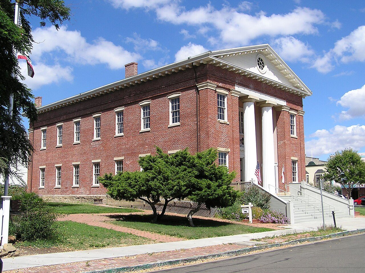
Benicia Capitol State Historic Park
John Muir National Historic Site
Port Chicago Naval Magazine National Memorial
Rosie the Riveter World War II Home Front National Historical Park
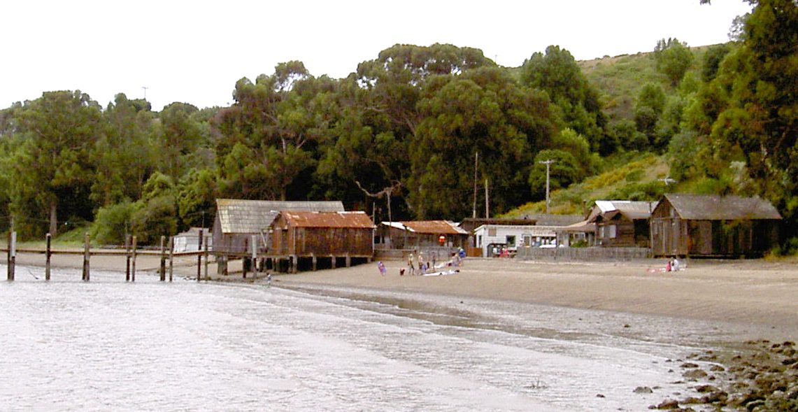
China Camp State Park
Emeryville Crescent State Marine Reserve
More parks in California
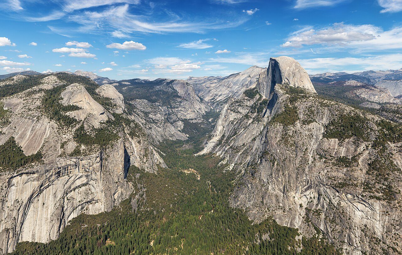
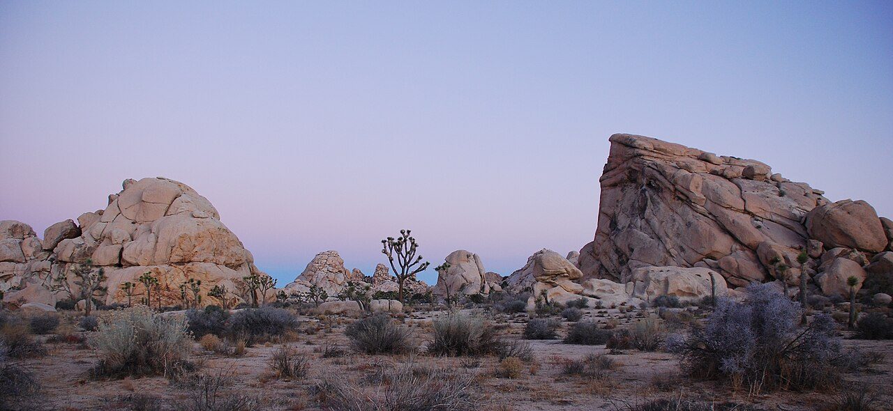
Frequently asked questions
Where is Benicia State Recreation Area?
Benicia State Recreation Area is in California, United States (38.0736° N, 122.1930° W).
Sources
- https://en.wikipedia.org/wiki/List_of_California_state_parks — Wikipedia list of California state parks — park name, county/location, size, year where the table states them.
- https://en.wikipedia.org/wiki/Benicia_State_Recreation_Area — Wikipedia article — description (CC BY-SA).