
State Park · California, United States
Border Field State Park
Border Field State Park is a state park in California, United States, established in 1972.
State Park · California, United States
No freely licensed photograph of this park is in our library yet — rather than borrow a picture of somewhere else, this profile leads with its verified facts.
Park facts
| Park type | State Park |
|---|---|
| Location | San Diego, California, United States |
| Established | 1972 |
| Coordinates | 32.5344° N, 117.1230° W |
| Managed by | California state park system |
Every fact above is taken from the sources listed below; anything no source states is left blank rather than guessed.
About Border Field State Park
Border Field State Park is a state park of California, United States, containing beach and coastal habitat on the Mexico–United States border. The park is within the city limits of Imperial Beach in San Diego County, next to the suburb of Playas de Tijuana in Mexico. It contains the southernmost point in the state of California. The refuge forms the southern part of Tijuana River National Estuarine Research Reserve. Border Field State Park contains Friendship Park, which is just inland from the place where the border meets the ocean. Immediately adjacent is the Initial Point of Boundary Between U.S. and Mexico.
Description from the park's Wikipedia article (CC BY-SA), linked in the sources below.
Airports near this park
The airports a visitor would actually fly into, nearest first — each link opens its profile on our sister site AirportProfiles.
- General Abelardo L. Rodriguez International Airport (TIJ) · Tijuana, Mexico · 8.9 miles away
- San Diego International Airport (SAN) · San Diego, United States · 14.3 miles away
- John Wayne Orange County International Airport (SNA) · Santa Ana, United States · 89.9 miles away
Parks nearby
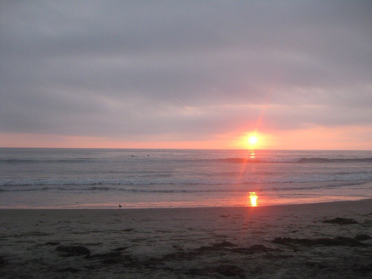
More parks in California
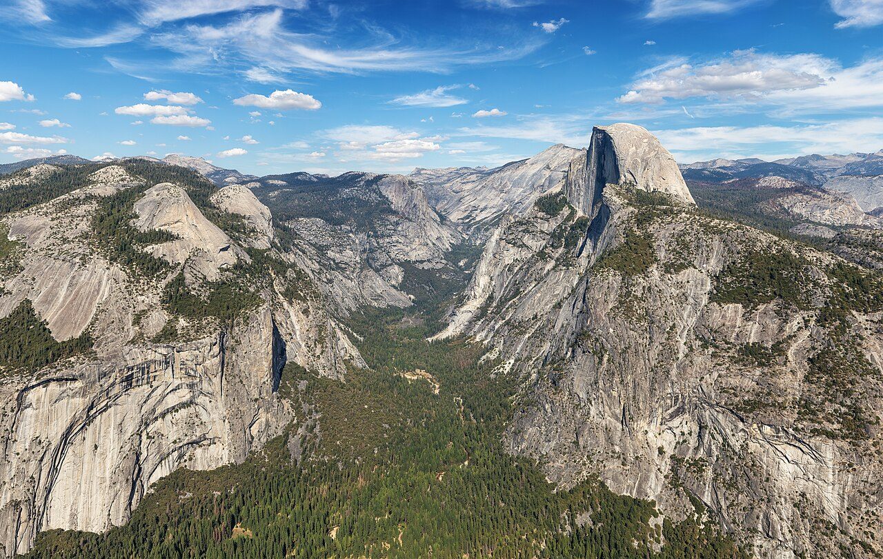
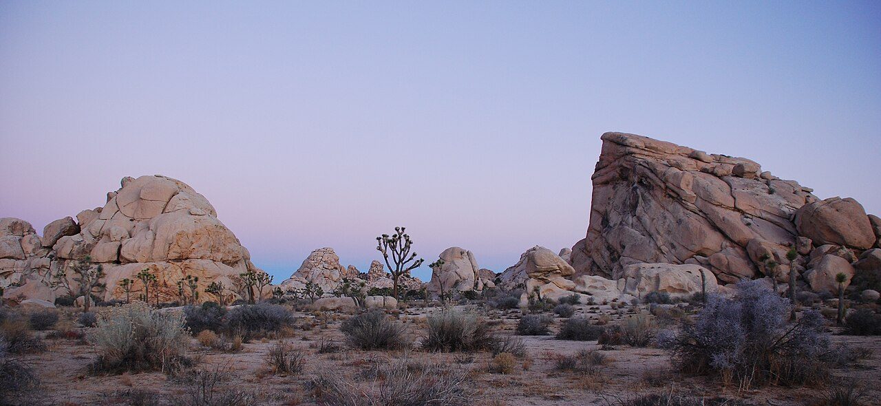
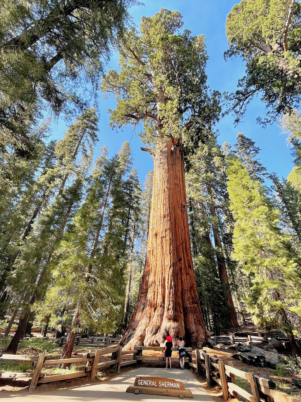
Frequently asked questions
Where is Border Field State Park?
Border Field State Park is in California, United States (32.5344° N, 117.1230° W).
When was Border Field State Park established?
Border Field State Park was established in 1972, per the source listed at the foot of this page.
Sources
- https://en.wikipedia.org/wiki/List_of_California_state_parks — Wikipedia list of California state parks — park name, county/location, size, year where the table states them.
- https://en.wikipedia.org/wiki/Border_Field_State_Park — Wikipedia article — description (CC BY-SA).