
Provincial Park · Canada
Broughton Archipelago Marine Provincial Park
Broughton Archipelago Marine Provincial Park is a provincial park in Canada, established in 1992.
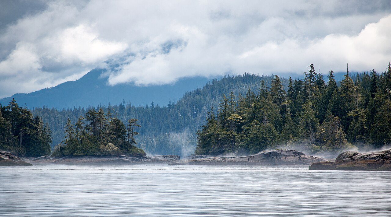
Photo: Mackenzie Bartlett via Wikimedia Commons, CC BY-SA 4.0. Cropped and resized for display.
Park facts
| Park type | Provincial Park |
|---|---|
| Location | Canada |
| Established | 1992 |
| Coordinates | 50.6833° N, 126.6830° W |
Every fact above is taken from the sources listed below; anything no source states is left blank rather than guessed.
About Broughton Archipelago Marine Provincial Park
Broughton Archipelago Provincial Park is the largest marine provincial park located in British Columbia, Canada. The park is located in the Queen Charlotte Strait around 30 kilometres (19 mi) east of Port McNeill, a town situated on Vancouver Island. In terms of its functions, the park offers tourism opportunities such as kayaking and whale watching, preserves a wide array of wildlife including many at-risk species, and has a long history of use by First Nation peoples.
Description from the park's Wikipedia article (CC BY-SA), linked in the sources below.
Planning your visit
What to do
Like Broughton Archipelago Marine Provincial Park? Visit Broughton Archipelago Marine Provincial Park’s official park page for hours and current conditions before you travel.
Airports near this park
The airports a visitor would actually fly into, nearest first — each link opens its profile on our sister site AirportProfiles.
- Port Hardy Airport (YZT) · Port Hardy, Canada · 29.9 miles away
- Campbell River Airport (YBL) · Campbell River, Canada · 80.3 miles away
- Comox Valley International Airport / CFB Comox (YQQ) · Comox, Canada · 104.0 miles away
Parks nearby
Echo Bay Marine Provincial Park
Nimpkish Lake Provincial Park
Artlish Caves Provincial Park
Woss Lake Provincial Park
Thurston Bay Marine Provincial Park
Morton Lake Provincial Park
More parks in Canada









Frequently asked questions
Where is Broughton Archipelago Marine Provincial Park?
Broughton Archipelago Marine Provincial Park is in Canada (50.6833° N, 126.6830° W).
When was Broughton Archipelago Marine Provincial Park established?
Broughton Archipelago Marine Provincial Park was established in 1992, per the source listed at the foot of this page.
Sources
- https://www.wikidata.org/wiki/Q4975807 — Wikidata (CC0) — name, country, coordinates, area, established year, highest point where stated.
- https://en.wikipedia.org/wiki/Broughton_Archipelago_Provincial_Park — Wikipedia article — description (CC BY-SA).