
National Park · Chile
Cabo de Hornos National Park
Cabo de Hornos National Park is a national park in Chile, covering 155,906 acres (63,093 ha), established in 1945.
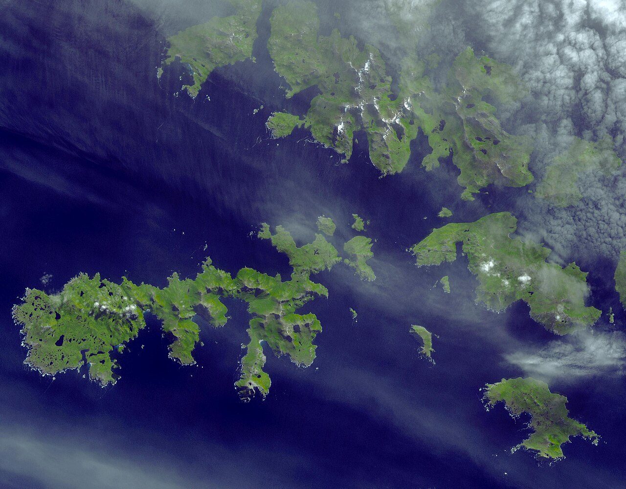
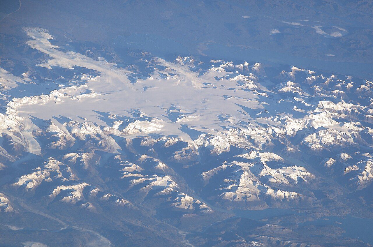
Photo: NASA/GSFC/METI/ERSDAC/JAROS, and U.S./Japan ASTER Science Team via Wikimedia Commons, Public domain. Cropped and resized for display.
Park facts
| Park type | National Park |
|---|---|
| Location | Chile |
| Area | 155,906 acres (63,093 ha) |
| Established | 1945 |
| Coordinates | 55.8330° S, 67.4330° W |
Every fact above is taken from the sources listed below; anything no source states is left blank rather than guessed.
About Cabo de Hornos National Park
Cabo de Hornos National Park is a protected area in southern Chile that was designated a Biosphere Reserve by UNESCO in 2005, along with Alberto de Agostini National Park. The world's southernmost national park, it is located 12 hours by boat from Puerto Williams in the Cape Horn Archipelago, which belongs to the Commune of Cabo de Hornos in the Antártica Chilena Province of Magallanes y Antártica Chilena Region. The park was created in 1945 and includes the Wollaston Islands and the Hermite Islands.
Description from the park's Wikipedia article (CC BY-SA), linked in the sources below.
Airports near this park
The airports a visitor would actually fly into, nearest first — each link opens its profile on our sister site AirportProfiles.
- Ushuaia - Malvinas Argentinas International Airport (USH) · Ushuaia, Argentina · 76.3 miles away
- Gobernador Ramón Trejo Noel International Airport (RGA) · Rio Grande, Argentina · 142.6 miles away
Parks nearby
Diego Ramirez Islands & Drake Passage National Park
Yendegaia National Park
Yendegaia National Park project
Tierra del Fuego National Park
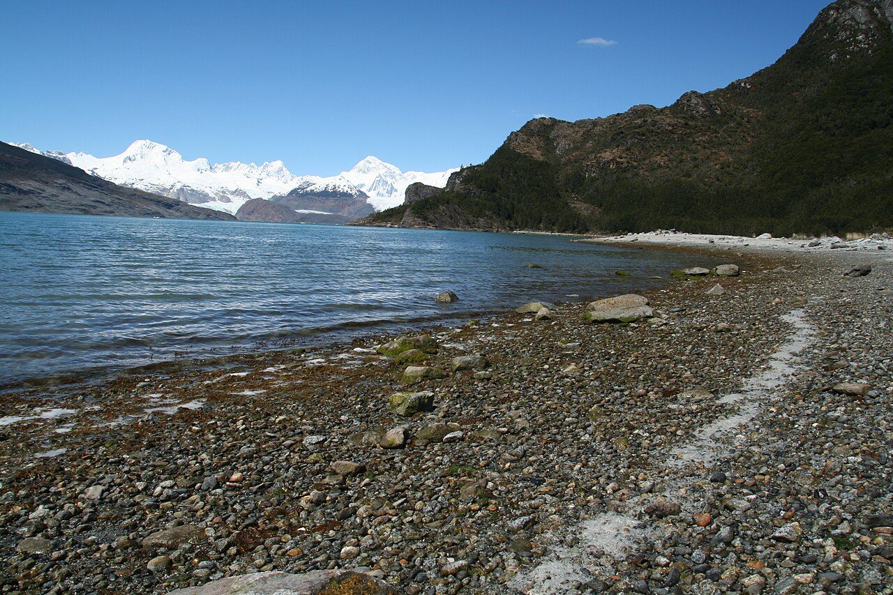
Alberto de Agostini National Park
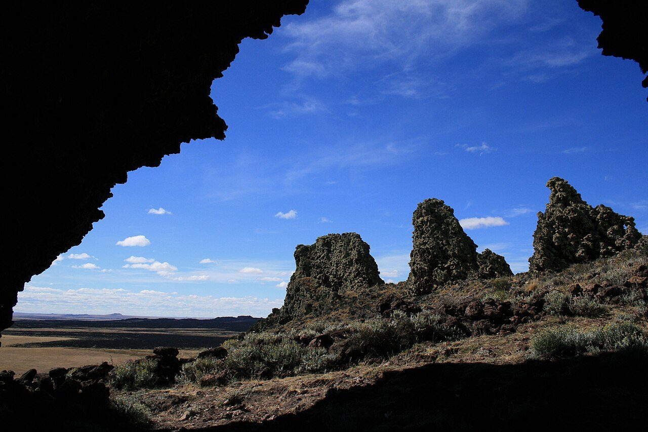
Pali-Aike National Park
More parks in Chile

Frequently asked questions
Where is Cabo de Hornos National Park?
Cabo de Hornos National Park is in Chile (55.8330° S, 67.4330° W).
When was Cabo de Hornos National Park established?
Cabo de Hornos National Park was established in 1945, per the source listed at the foot of this page.
How big is Cabo de Hornos National Park?
Cabo de Hornos National Park covers 155,906 acres (63,093 ha).
Sources
- https://www.wikidata.org/wiki/Q338542 — Wikidata (CC0) — name, country, coordinates, area, established year, highest point where stated.
- https://en.wikipedia.org/wiki/Cabo_de_Hornos_National_Park — Wikipedia article — description (CC BY-SA).