
National Park · Chile
Huerquehue National Park
Huerquehue National Park is a national park in Chile, covering 30,888 acres (12,500 ha), established in 1967.
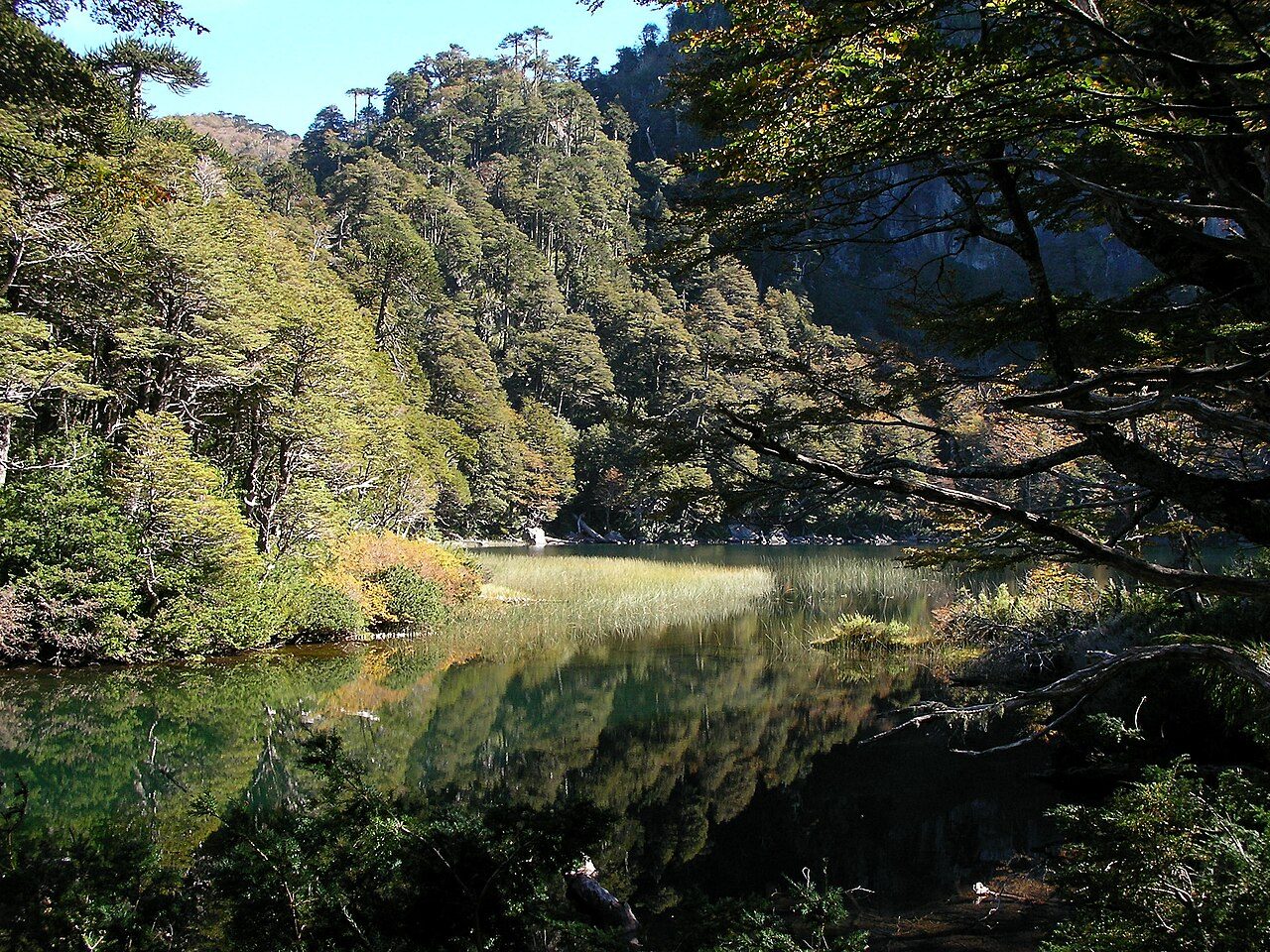
Photo: Brian Dell via Wikimedia Commons, Public domain. Cropped and resized for display.
Park facts
| Park type | National Park |
|---|---|
| Location | Chile |
| Area | 30,888 acres (12,500 ha) |
| Established | 1967 |
| Coordinates | 39.1386° S, 71.6664° W |
Every fact above is taken from the sources listed below; anything no source states is left blank rather than guessed.
About Huerquehue National Park
Huerquehue National Park (Spanish pronunciation: [weɾˈkewe]) is located in the foothills of the Andes, in the Valdivian temperate rainforest of the La Araucanía region in southern Chile. It lies 145 km southeast of Temuco and 33 km east of Pucón, between the Villarrica National Reserve to the west and the Hualalafquén National Reserve to the east. The park encompasses 125 square kilometres (12,500 ha) of mountainous terrain east of Caburgua Lake, and has an elevation range of 720 to 2,000 m asl. The national park was created on June 9, 1967 in order to protect the area.
Description from the park's Wikipedia article (CC BY-SA), linked in the sources below.
Like Huerquehue National Park? Visit Huerquehue National Park’s official park page for hours and current conditions before you travel.
Airports near this park
The airports a visitor would actually fly into, nearest first — each link opens its profile on our sister site AirportProfiles.
- La Araucanía International Airport (ZCO) · Temuco, Chile · 54.9 miles away
- Teniente Luis Candelaria International Airport (BRC) · San Carlos de Bariloche, Argentina · 141.6 miles away
Parks nearby
More parks in Chile
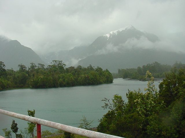
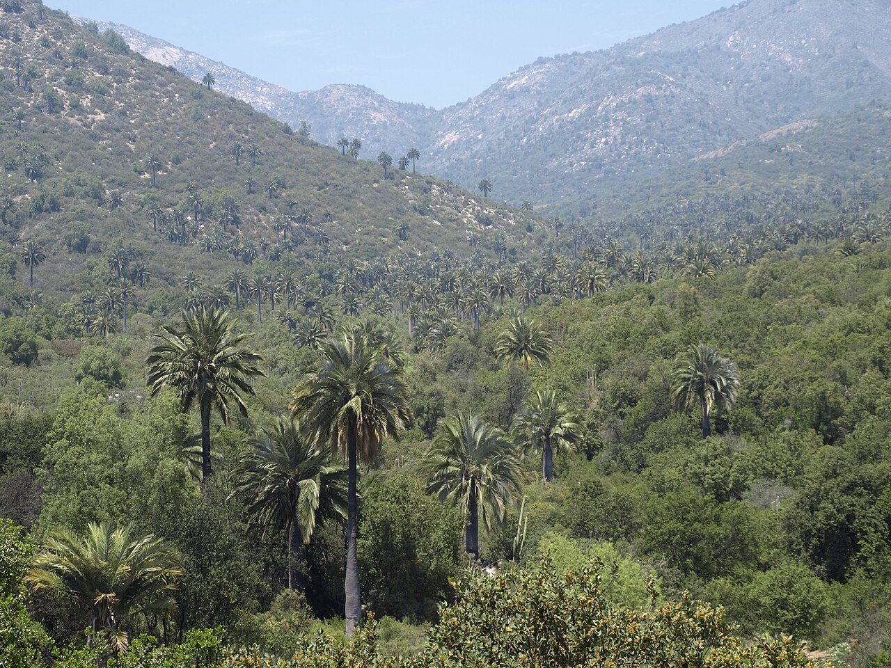
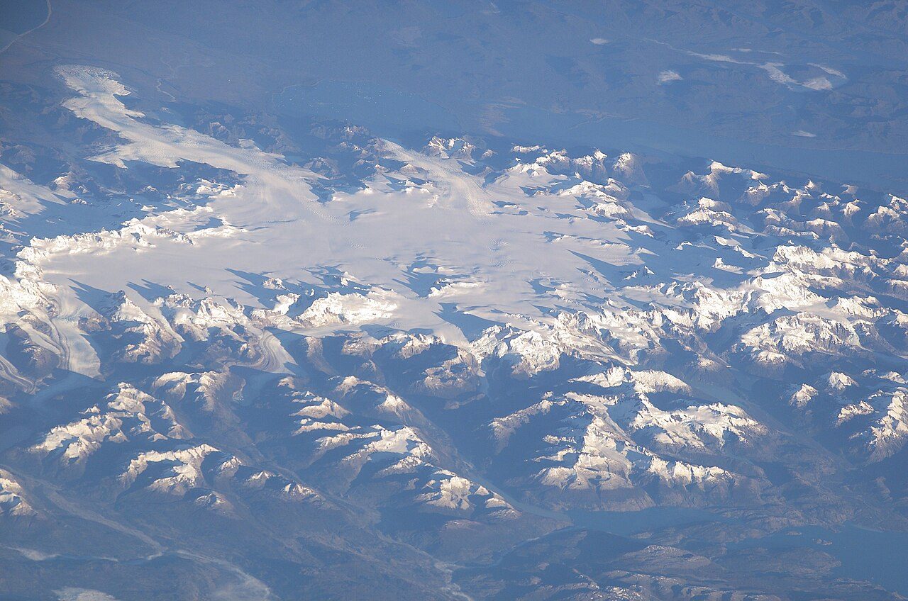

Frequently asked questions
Where is Huerquehue National Park?
Huerquehue National Park is in Chile (39.1386° S, 71.6664° W).
When was Huerquehue National Park established?
Huerquehue National Park was established in 1967, per the source listed at the foot of this page.
How big is Huerquehue National Park?
Huerquehue National Park covers 30,888 acres (12,500 ha).
Sources
- https://www.wikidata.org/wiki/Q1124254 — Wikidata (CC0) — name, country, coordinates, area, established year, highest point where stated.
- https://en.wikipedia.org/wiki/Huerquehue_National_Park — Wikipedia article — description (CC BY-SA).