
Provincial Park · Canada
Caligata Lake Provincial Park
Caligata Lake Provincial Park is a provincial park in Canada, covering 378 acres (153 ha), established in 1996.
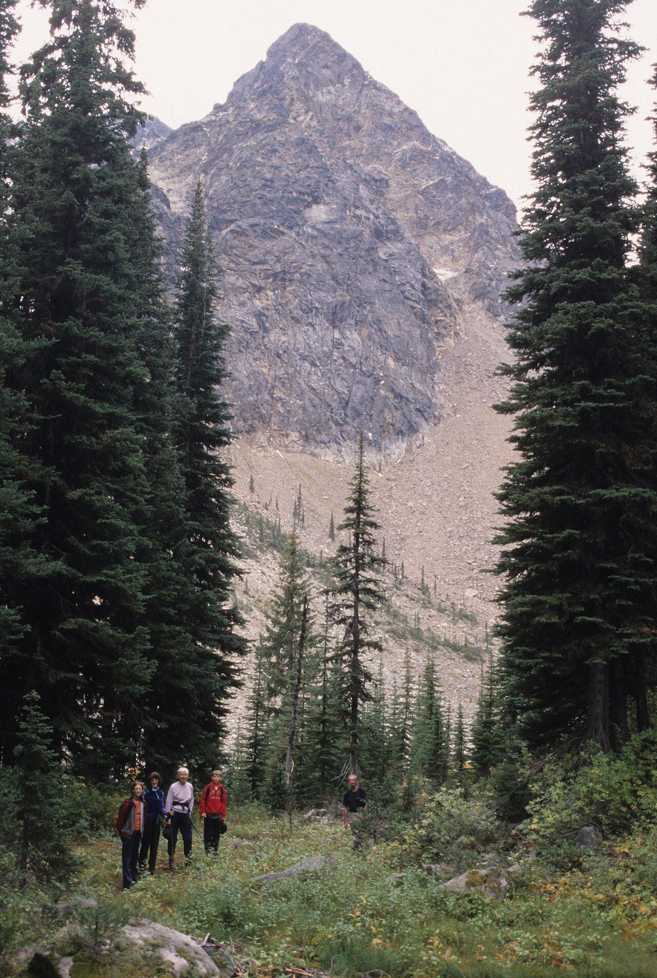
Photo: Roland Neave at English Wikipedia via Wikimedia Commons, CC BY 3.0. Cropped and resized for display.
Park facts
| Park type | Provincial Park |
|---|---|
| Location | Canada |
| Area | 378 acres (153 ha) |
| Established | 1996 |
| Coordinates | 51.7333° N, 119.8330° W |
Every fact above is taken from the sources listed below; anything no source states is left blank rather than guessed.
About Caligata Lake Provincial Park
Caligata Lake Provincial Park is a provincial park in British Columbia, Canada, located northeast of Clearwater. The lake occupies a cirque below the north face of Raft Mountain. The park has no visitor facilities or services. Access is by Spahats Creek Road off the Clearwater Valley Road (also called Wells Gray Park Road) to km 13.8. The trail was rebuilt in 2023 and several sections of boardwalk were added by BC Parks. The 2.3 km long trail bypasses Caligata Lake and ends below the Raft Mountain cliffs. Cross-country hiking routes lead from there to the nearby Cirque of Tarns.
Description from the park's Wikipedia article (CC BY-SA), linked in the sources below.
Planning your visit
What to do
Airports near this park
The airports a visitor would actually fly into, nearest first — each link opens its profile on our sister site AirportProfiles.
- Kelowna International Airport (YLW) · Kelowna, Canada · 124.4 miles away
Parks nearby
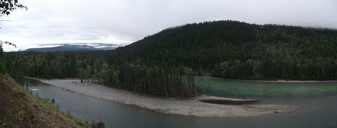
North Thompson River Provincial Park
Upper Adams River Provincial Park
Emar Lakes Provincial Park
Upper Seymour River Provincial Park
Bonaparte Provincial Park
Silver Beach Provincial Park
More parks in Canada









Frequently asked questions
Where is Caligata Lake Provincial Park?
Caligata Lake Provincial Park is in Canada (51.7333° N, 119.8330° W).
When was Caligata Lake Provincial Park established?
Caligata Lake Provincial Park was established in 1996, per the source listed at the foot of this page.
How big is Caligata Lake Provincial Park?
Caligata Lake Provincial Park covers 378 acres (153 ha).
Sources
- https://www.wikidata.org/wiki/Q5021334 — Wikidata (CC0) — name, country, coordinates, area, established year, highest point where stated.
- https://en.wikipedia.org/wiki/Caligata_Lake_Provincial_Park — Wikipedia article — description (CC BY-SA).