
State Park · California, United States
Castle Crags State Park
Castle Crags State Park is a state park in California, United States, established in 1889.
State Park · California, United States
No freely licensed photograph of this park is in our library yet — rather than borrow a picture of somewhere else, this profile leads with its verified facts.
Park facts
| Park type | State Park |
|---|---|
| Location | Shasta, California, United States |
| Established | 1889 |
| Coordinates | 41.1756° N, 122.3390° W |
| Managed by | California state park system |
Every fact above is taken from the sources listed below; anything no source states is left blank rather than guessed.
About Castle Crags State Park
Castle Crags is a dramatic and well-known rock formation in Northern California. Elevations range from 2,000 feet (610 m) along the Sacramento River near the base of the crags, to over 6,500 feet (2,000 m) at the summit of the tallest crag. Located just west of Interstate 5, between the towns of Castella and Dunsmuir, Castle Crags is today a popular tourist stop along the highway. Mount Shasta is 10 miles to the north. The formation and surrounding habitats are protected by Castle Crags State Park, located on both sides of Interstate 5 at them, and by Castle Crags Wilderness Area of the Shasta-Trinity National Forest.
Description from the park's Wikipedia article (CC BY-SA), linked in the sources below.
Airports near this park
The airports a visitor would actually fly into, nearest first — each link opens its profile on our sister site AirportProfiles.
- Redding Municipal Airport (RDD) · Redding, United States · 46.1 miles away
- Rogue Valley International-Medford Airport (MFR) · Medford, United States · 87.3 miles away
- California Redwood Coast-Humboldt County Airport (ACV) · Arcata/Eureka, United States · 93.2 miles away
Parks nearby
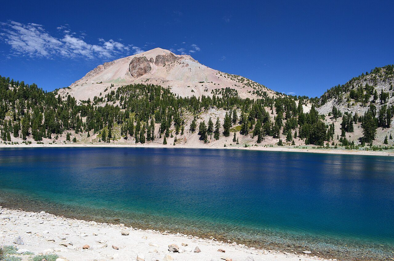
More parks in California
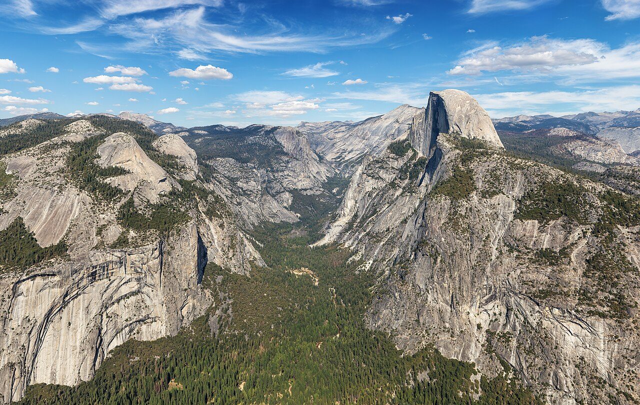
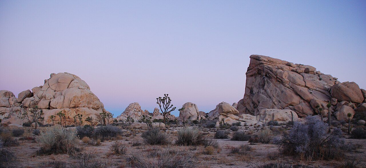
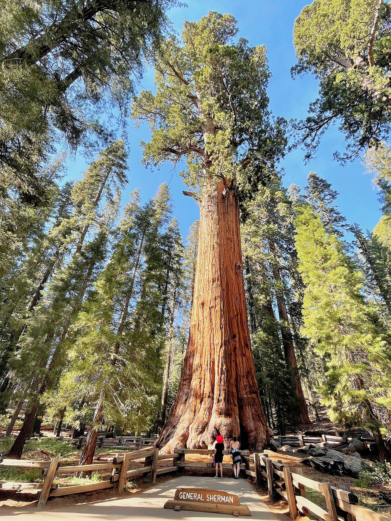
Frequently asked questions
Where is Castle Crags State Park?
Castle Crags State Park is in California, United States (41.1756° N, 122.3390° W).
When was Castle Crags State Park established?
Castle Crags State Park was established in 1889, per the source listed at the foot of this page.
Sources
- https://en.wikipedia.org/wiki/List_of_California_state_parks — Wikipedia list of California state parks — park name, county/location, size, year where the table states them.
- https://en.wikipedia.org/wiki/Castle_Crags — Wikipedia article — description (CC BY-SA).